geo.wikisort.org - Island
Jaco Island (Portuguese: Ilha de Jaco, Tetum: Illa Jako, Fataluku: Totina or Tontina) is an uninhabited island in East Timor, a country occupying the eastern end of the island of Timor in the Lesser Sunda Islands in Southeast Asia. It lies within the Nino Konis Santana National Park.
This article needs additional citations for verification. (April 2020) |
 View over tropical dry forest to coastal strand vegetation on the island | |
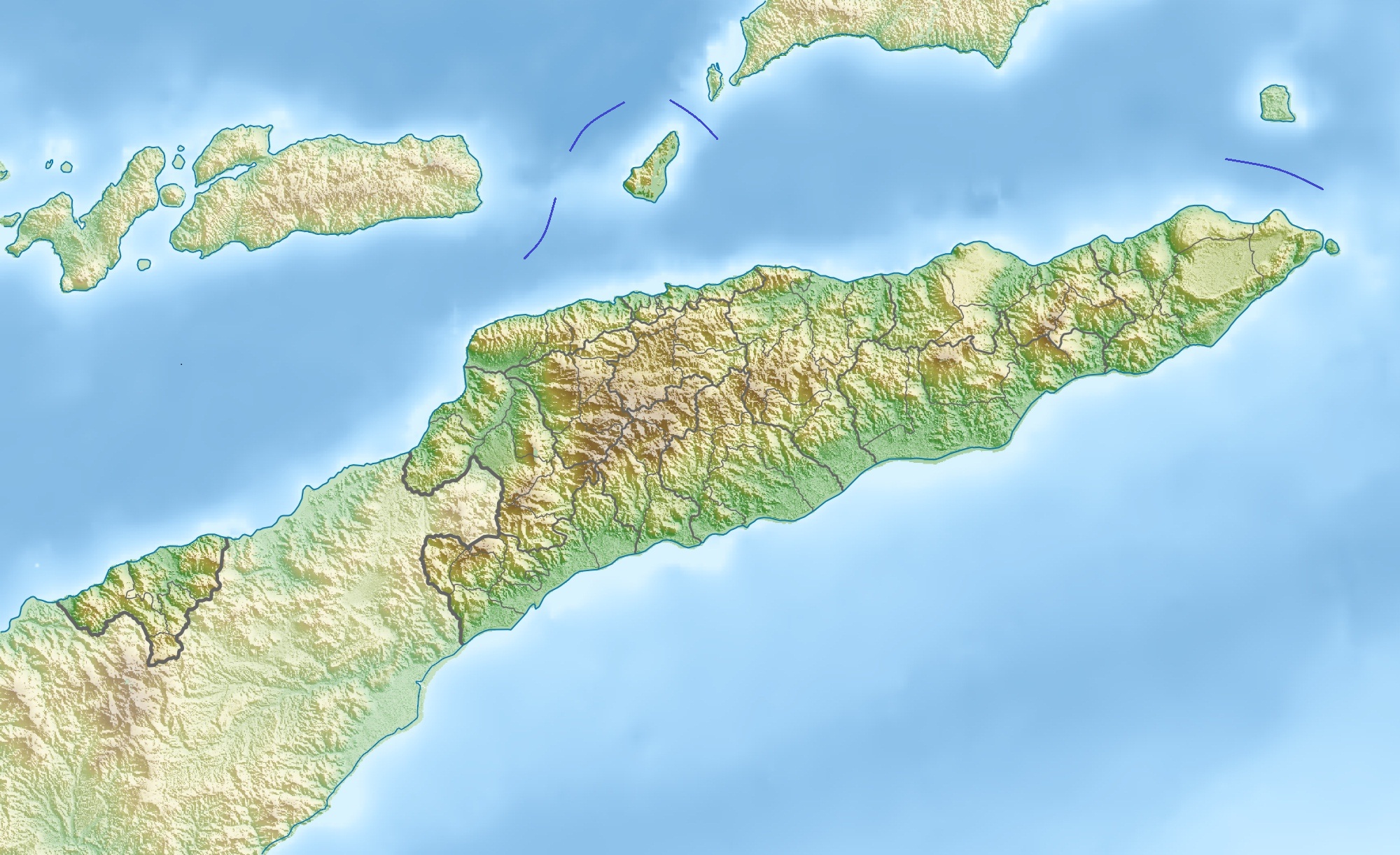 Jaco Island Location in East Timor | |
| Geography | |
|---|---|
| Location | Banda Sea (Wetar Strait), Timor Sea |
| Coordinates | 8°25′30″S 127°19′30″E |
| Administration | |
East Timor | |
Overview

Jaco Island lies just off the eastern end of the island of Timor, part of the Tutuala subdistrict in Lautém District, and is separated from the mainland in front of Valu Beach by a 600 m-wide (660 yd) channel or strait (known as Jaco Strait) navigable by small vessels.
The island, the beach and the channel are sometimes said to be the points where Timor meets the boundary between the Banda Sea (including Wetar Strait) to the north and Timor Sea to the south.[1][2] According to the standard work Limits of Oceans and Seas, 3rd edition (1953), published by the International Hydrographic Organization (IHO), however, the only point where Timor meets those two seas is Tanjong Sewirawa (now known as Cape Cutcha), the eastern extremity of the Timorese mainland.[3][4] Cape Cutcha is a short distance northwest of the island, and north of the beach.[4]
The island is low-lying, with an area of 11 km2 (4.2 sq mi) and a maximum elevation of about 100 m (330 ft). It is covered mainly by tropical dry forest, fringed by strand vegetation and sandy beaches. There are some low cliffs on the southern coast.
Climate
The average annual temperature is roughly 27 °C (81 °F). On average the island receives 1,436 mm (56.5 in) of rain and the north and east coast of the small island is somewhat drier.
Wildlife
The island supports populations of bar-necked cuckoo-doves, black cuckoo-doves, pink-headed imperial pigeons, streak-breasted honeyeaters, fawn-breasted whistlers, blue-cheeked flowerpeckers, flame-breasted sunbirds and Timor sparrows.[citation needed]
The Javan rusa native deer can also be found on the island and unlike mainland deer, they have become accustomed to drinking salt water due to the lack of freshwater on the island.
Jaco is listed by BirdLife International as an Important Bird Area.[5]
See also
- Geography of East Timor
- List of Important Bird Areas in East Timor
- List of islands of East Timor
References
- "East Timor Travel: Why Go to a Country So Few People Ever Visit?". Women on the Road. 19 March 2019. Retrieved 9 July 2022.
- Sailing Directions for Java: Lesser Sundas; South, Southeast, and East Coasts of Borneo; and Celebes. Publication - Defense Mapping Agency, Hydrographic Center, no. 72 (revised 5th (1962) ed.). Washington, DC: U.S. Dept. of Defense, Defense Mapping Agency, Hydrographic Center. 1976. p. 272. ISBN 1038099951.
- Limits of Oceans and Seas (PDF). Special Publication No 28 (3rd ed.). Monte-Carlo: International Hydrographic Organization (IHO). 1953. Archived from the original (PDF) on 8 October 2011. Retrieved 28 December 2020.
- Timor-Leste (PDF) (Map). Cartography by Department of Peacekeeping Operations, Cartographic Section. United Nations (UN). January 2004. Map No. 4111 Rev. 8. Retrieved 16 July 2022.
- BirdLife International. "BirdLife Data Zone: Jaco Island". Retrieved May 5, 2020.
External links
![]() Media related to Jaco Island at Wikimedia Commons
Media related to Jaco Island at Wikimedia Commons
East Timor articles | |||||
|---|---|---|---|---|---|
| History |
|  | |||
| Geography | |||||
| Politics |
| ||||
| Economy |
| ||||
| Society |
| ||||
| |||||
На других языках
[de] Jaco (Osttimor)
Jaco (auch: Jako, in Fataluku: Totina, Tontina) ist eine südostasiatische Insel der Inselgruppe der Kleinen Sundainseln. Jaco ist der Ostspitze mit dem Kap Cutcha der Insel Timor vorgelagert und gehört zu Osttimor (Aldeia Pitileti, Suco und Verwaltungsamt Tutuala, Gemeinde Lautém).- [en] Jaco Island
[es] Isla de Jaco
Jaco (a veces también conocida como "Jako") es una isla que forma parte de las Islas menores de la Sonda localizada en el punto más oriental de la isla de Timor y que políticamente es parte del distrito de Lautém que pertenece a Timor Oriental. Está separada de la isla de Timor por un canal estrecho, que permite solo el paso de barcos pequeños, posee un 10 km² de superficie y su mayor altitud alcanza los 100 metros.[fr] Jaco (Timor oriental)
L'île Jaco est une île appartenant au Timor oriental. Elle est incluse dans le parc National Nino Konis Santana. Cette île est inhabitée. Elle est la plus orientale des Petites îles de la Sonde.[it] Jaco (Timor Est)
Jaco (conosciuta anche come Jako) è una piccola isola dell'arcipelago delle Piccole Isole della Sonda. È un'isola disabitata, considerata sacra dalle popolazioni della parte più orientale dell'isola di Timor. Politicamente Jaco fa parte del distretto di Lautém, Timor Est.[ru] Жаку
Жаку (порт. Jaco) — небольшой остров, входящий в группу Малых Зондских островов.Другой контент может иметь иную лицензию. Перед использованием материалов сайта WikiSort.org внимательно изучите правила лицензирования конкретных элементов наполнения сайта.
WikiSort.org - проект по пересортировке и дополнению контента Википедии