geo.wikisort.org - Island
Hallsmead Ait is an island in the River Thames in Berkshire, England.[1][2] It is on the reach above Shiplake Lock near Lower Shiplake.[3]
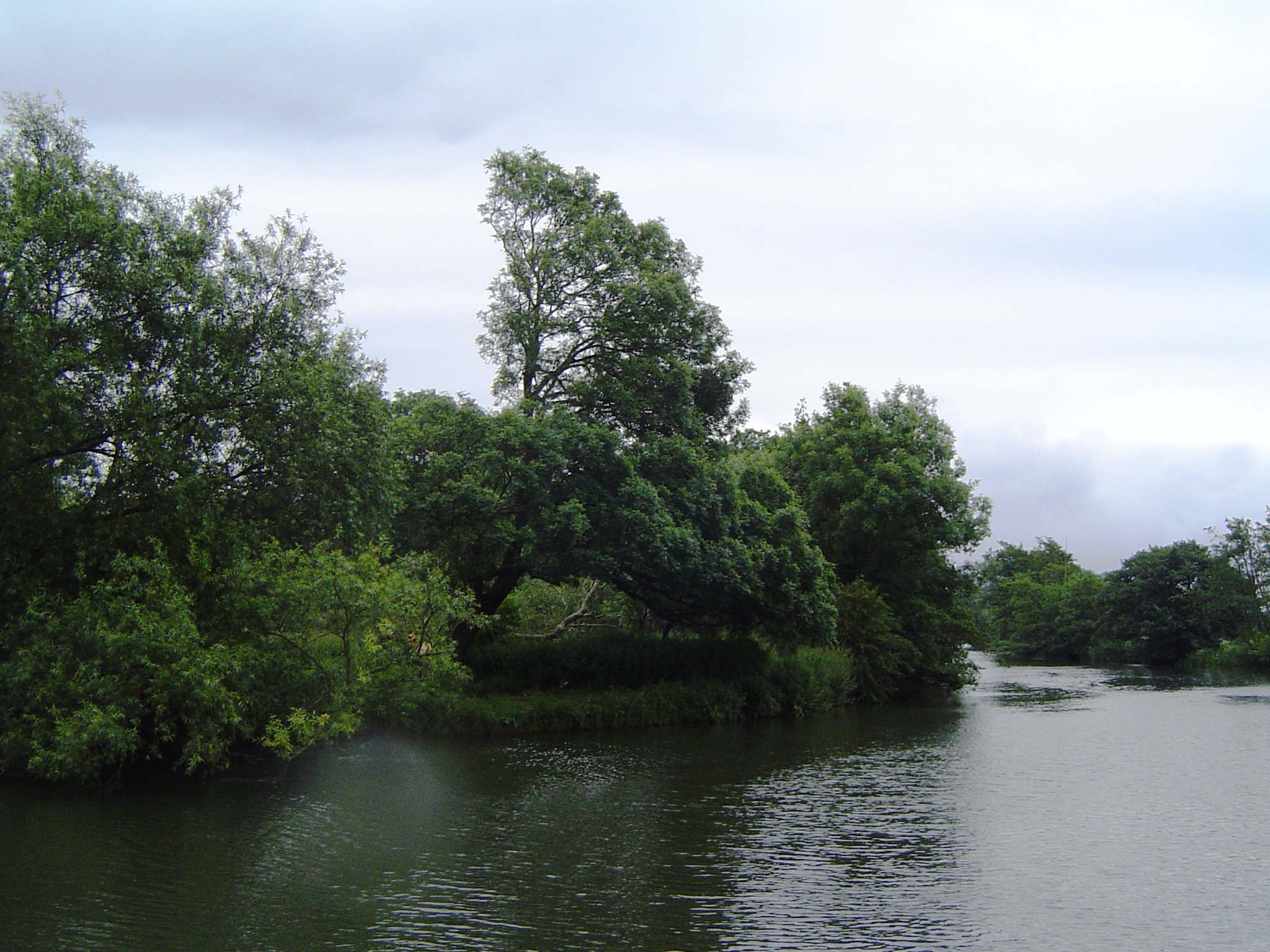

The island is large and triangular shaped, forming a pair with The Lynch, a similar shaped island. It is uninhabited and covered with a wide variety of trees. Although it is positioned towards the Oxfordshire bank of the river, it is actually in Berkshire.[4]
Berry Brook starts close to the Redgrave-Pinsent Rowing Lake to the southwest, running northeast through the Thames floodplain, before joining the river at Hallsmead Ait.
See also
References
- "Geograph:: SU7677 :: Browse 47 Images".
- OS OpenData Streetview (Layer at OpenStreetMap.)
- Cove-Smith, Chris (1996). The River Thames Book. St Ives, Cambridgeshire: Imray Laurai Norie & Wilson. p. 92 (Map 14). ISBN 0-85288-286-6.
- Reading, Henley-on-Thames, Wokingham: Street AZ Atlas. Geographer' A-Z Map Company. 1995. p. 15. ISBN 0-85039-277-2.
Wikimedia Commons has media related to Hallsmead Ait.
This Berkshire location article is a stub. You can help Wikipedia by expanding it. |
На других языках
[de] Hallsmead Ait
Hallsmead Ait ist eine Insel in der Themse in Berkshire, England. Die Insel liegt flussaufwärts des Shiplake Lock bei Shiplake.- [en] Hallsmead Ait
Текст в блоке "Читать" взят с сайта "Википедия" и доступен по лицензии Creative Commons Attribution-ShareAlike; в отдельных случаях могут действовать дополнительные условия.
Другой контент может иметь иную лицензию. Перед использованием материалов сайта WikiSort.org внимательно изучите правила лицензирования конкретных элементов наполнения сайта.
Другой контент может иметь иную лицензию. Перед использованием материалов сайта WikiSort.org внимательно изучите правила лицензирования конкретных элементов наполнения сайта.
2019-2026
WikiSort.org - проект по пересортировке и дополнению контента Википедии
WikiSort.org - проект по пересортировке и дополнению контента Википедии