geo.wikisort.org - Island
Gabaret Island, also known as Cabaret Island, situated approximately eight miles (13 km) due north of the Gateway Arch in St. Louis, Missouri, and approximately one mile (1.6 km) south of the confluence of the Missouri River and Mississippi River, is one of a cluster of three islands: Chouteau Island, Gabaret Island, and Mosenthein Island.[1] Gabaret Island is 1,300 acres in area.[1] Due to land development, the island is continuous with its northern neighbor, Chouteau Island, but is separated by a slough (Gabaret Slough).[2]


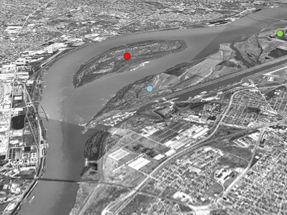
Lewis and Clark camped on Gabaret Island on December 11, 1803, prior to establishing Camp Dubois near Wood River, Illinois.[2]
References
- "Economic Development - Enterprise Zone Details". City of Madison, Illinois. Archived from the original on 2017-02-22. Retrieved 2017-02-22.
- Mendoza, Norma (June 24, 2002). "Public gives input on island proposal". Edwardsville Intelligencer. Retrieved February 22, 2017.
This St. Louis location article is a stub. You can help Wikipedia by expanding it. |
Текст в блоке "Читать" взят с сайта "Википедия" и доступен по лицензии Creative Commons Attribution-ShareAlike; в отдельных случаях могут действовать дополнительные условия.
Другой контент может иметь иную лицензию. Перед использованием материалов сайта WikiSort.org внимательно изучите правила лицензирования конкретных элементов наполнения сайта.
Другой контент может иметь иную лицензию. Перед использованием материалов сайта WikiSort.org внимательно изучите правила лицензирования конкретных элементов наполнения сайта.
2019-2026
WikiSort.org - проект по пересортировке и дополнению контента Википедии
WikiSort.org - проект по пересортировке и дополнению контента Википедии