geo.wikisort.org - Island
Egger Island (Danish: Eggers Ø; Greenlandic: Itilleq, old spelling: Itivdleq)[1] is Greenland's southernmost island. It is located in the Kujalleq municipality and is uninhabited.
| |
|---|---|
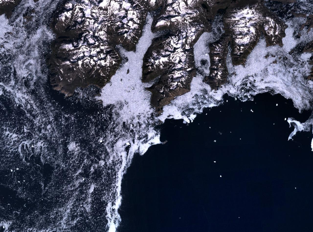 Landsat image with Egger Island's headland Cape Farewell in the centre. | |
 Location of Egger Island | |
| Geography | |
| Location | North Atlantic Ocean Southern Greenland |
| Coordinates | 59.89°N 43.90°W |
| Archipelago | Cape Farewell Archipelago |
| Highest elevation | 1,251 m (4104 ft) |
| Highest point | Akunap Qinguata |
| Administration | |
Greenland | |
| Municipality | Kujalleq |
| Demographics | |
| Population | 0 |
Geography
Egger Island is an important landmark for a small islet off Cape Farewell, its southern headland, is the southernmost point of Greenland. It is part of the Cape Farewell Archipelago (Nunap Isua).[2]
The island has a deeply indented coastline and is separated from the neighbouring islands of the archipelago by narrow sounds. Qunnerit lies to the west, Sammisoq to the north and the smaller Avatdlerssuaq and Saningassoq to the east. Egger Island has an area of 308.8 km2 and a shoreline of 150.2 kilometres.[3]
Cape Farewell lies at the island's southernmost tip, with a height of over 2000 feet; it is noted for bad weather.[4]
See also
- List of islands of Greenland
- List of countries by southernmost point
References
- "Itilleq". Mapcarta. Retrieved 10 April 2016.
- "Cape Farewell Map - Greenland - Mapcarta". mapcarta.com. Retrieved 5 January 2017.
- "UNEP | ITP". islands.unep.ch. Retrieved 5 January 2017.
- John Paxton (30 December 2015). Statesman's Yearbook World Gazetteer. Palgrave Macmillan UK. p. 200. ISBN 978-1-349-01415-6.
This Greenland location article is a stub. You can help Wikipedia by expanding it. |
На других языках
- [en] Egger Island
[it] Itilleq (isola)
Itilleq (o Itivdleq, danese Eggers Ø) è un'isola disabitata della Groenlandia di 309 km². Prima della riforma municipale groenlandese apparteneva alla contea della Groenlandia Occidentale e al comune di Nanortalik. Oggi fa parte del comune di Kujalleq.Другой контент может иметь иную лицензию. Перед использованием материалов сайта WikiSort.org внимательно изучите правила лицензирования конкретных элементов наполнения сайта.
WikiSort.org - проект по пересортировке и дополнению контента Википедии