geo.wikisort.org - Insel
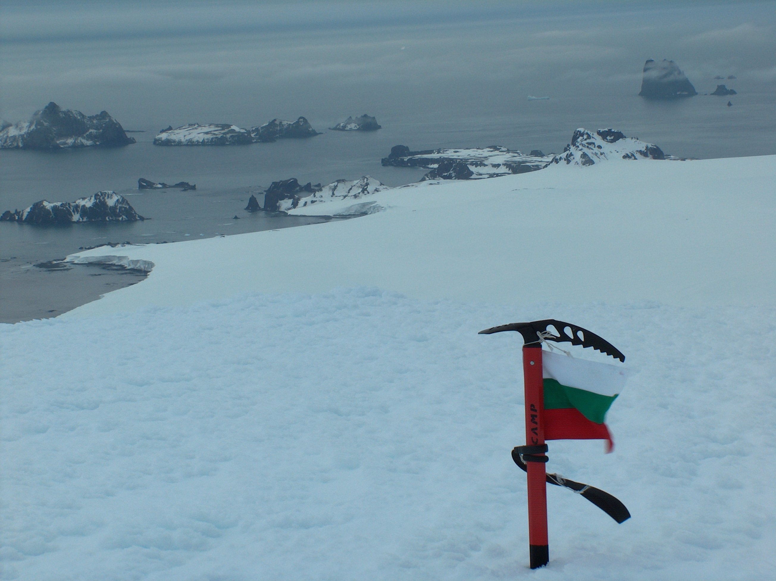
Zavala Island (englisch; bulgarisch остров Завала ostrow Sawala) ist eine 700 m lange und 250 m breite Insel im Archipel der Südlichen Shetlandinseln. In der Gruppe der Dunbar-Inseln vor der Nordostküste der Livingston-Insel liegt sie 1,3 km ostnordöstlich von Balsha Island, 0,6 km südwestlich von Aspis Island, 0,8 km nördlich des Slab Point und 0,35 km westlich des Organpipe Point.
| Zavala Island | ||
|---|---|---|
 | ||
| Gewässer | Hero Bay | |
| Inselgruppe | Dunbar-Inseln, Südliche Shetlandinseln | |
| Geographische Lage | 62° 28′ 12″ S, 60° 9′ 52″ W | |
| ||
| Länge | 700 m | |
| Breite | 250 m | |
| Einwohner | unbewohnt | |

Bulgarische Wissenschaftler kartierten sie 2009. Die bulgarische Kommission für Antarktische Geographische Namen benannte sie im selben Jahr nach einer Ortschaft und einem gleichnamigen Berg im Westen Bulgariens.
Weblinks
- Zavala Island im Composite Gazetteer of Antarctica (englisch)
На других языках
- [de] Zavala Island
[en] Zavala Island
Zavala Island (Bulgarian: остров Завала, romanized: ostrov Zavala, IPA: [ˈɔstrov ˈzavɐɫɐ]) is an ice-free island in the Dunbar group off the northwest coast of Varna Peninsula on Livingston Island in the South Shetland Islands, Antarctica. It is extending 700 by 250 m (770 by 270 yd), with surface area 14 hectares (35 acres).[1] The area was visited by early 19th century sealers.Текст в блоке "Читать" взят с сайта "Википедия" и доступен по лицензии Creative Commons Attribution-ShareAlike; в отдельных случаях могут действовать дополнительные условия.
Другой контент может иметь иную лицензию. Перед использованием материалов сайта WikiSort.org внимательно изучите правила лицензирования конкретных элементов наполнения сайта.
Другой контент может иметь иную лицензию. Перед использованием материалов сайта WikiSort.org внимательно изучите правила лицензирования конкретных элементов наполнения сайта.
2019-2026
WikiSort.org - проект по пересортировке и дополнению контента Википедии
WikiSort.org - проект по пересортировке и дополнению контента Википедии