geo.wikisort.org - Insel
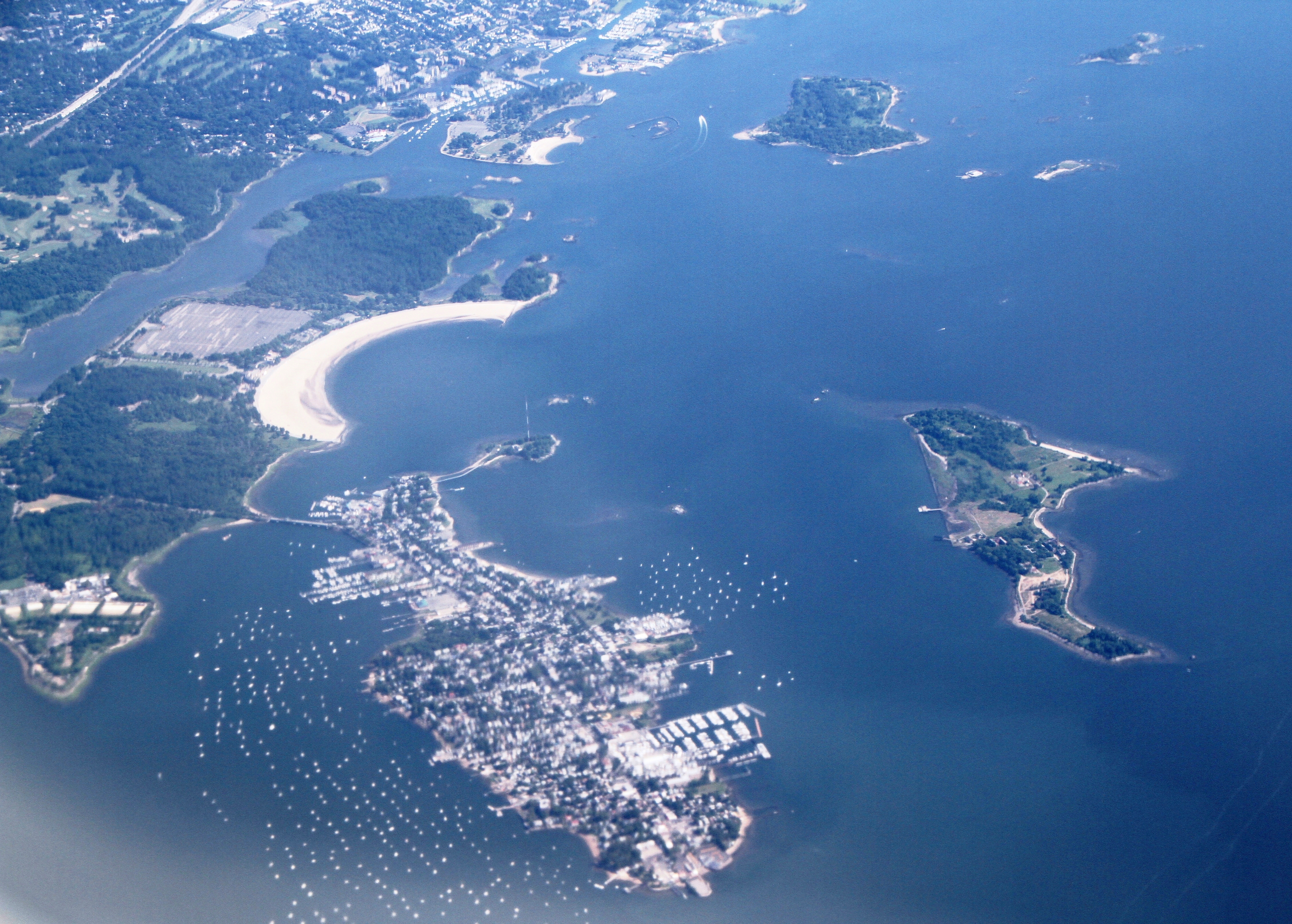
Die Pelham-Inseln (engl.: Pelham Islands) sind eine Inselgruppe im Westen des Long Island Sound. Die rund zwölf Inseln der Gruppe liegen im US-Bundesstaat New York.
| Pelham-Inseln | ||
|---|---|---|
 | ||
| Gewässer | Long Island Sound | |
| Geographische Lage | 40° 53′ N, 73° 46′ W | |
| ||
| Anzahl der Inseln | ca. 12 | |
| Hauptinsel | City Island | |
| Gesamte Landfläche | 1,07 km² | |
 | ||

Geschichte
Die Inseln wurden 1654 von Thomas Pell (1612–1669), dem Bruder des englischen Mathematikers John Pell, von den Siwanoi-Indianern erworben und bildeten zunächst die Gemeinde Pelham Manor im heutigen Westchester County. Mehrere der Pelham-Inseln wurden Teilgebiet von New Rochelle, die restlichen Inseln durch Weiterverkauf ab 1895 Teil der Bronx, einem Stadtteil von New York City.
Inseln
![]() Karte mit allen Koordinaten: OSM | WikiMap
Karte mit allen Koordinaten: OSM | WikiMap
Unvollständige Liste der Pelham-Inseln:
| Inselname | Aliasname | Koordinaten | Fläche | Einwohner | Anmerkung |
|---|---|---|---|---|---|
| City Island | 40° 51′ N, 073° 47′ W | 1 | 4.445 (2020) | ||
| The Blauzes | 40° 52′ N, 073° 46′ W | … | - | Inselgruppe | |
| Chimney Sweeps | 40° 52′ N, 073° 47′ W | … | - | Inselgruppe | |
| Davids Island | David's Island | 40° 53′ N, 073° 46′ W | … | ... | |
| Goose Island | 40° 53′ N, 073° 47′ W | … | ... | ||
| Hart Island | Hart's Island | 40° 51′ N, 073° 46′ W | … | ... | |
| High Island | 40° 52′ N, 073° 47′ W | … | ... | ||
| Hunter Island | 40° 53′ N, 073° 47′ W | … | ... | Halbinsel, ehemalige Insel | |
| Rat Island | 40° 51′ N, 073° 47′ W | … | ... | ||
| Travers Island | 40° 53′ N, 073° 47′ W | 0,2 | ... | Halbinsel, ehemalige Insel | |
| Twin Island | 40° 52′ N, 073° 47′ W | … | ... | Halbinsel, ehemalige Insel |
Weblinks
- The Islands of Pelham Bay (engl.)
На других языках
- [de] Pelham-Inseln
[en] Pelham Islands
The Pelham Islands are a group of islands in western Long Island Sound that belonged to Thomas Pell in the 17th century. The islands, and most of the surrounding area, were purchased from the Siwanoy Indians by Pell in 1654, creating Pelham Manor. This large tract of land would eventually become the present-day Town and Village of Pelham and Pelham Manor, Town of Eastchester, cities of New Rochelle and Mount Vernon in Westchester County, and the Pelham Bay and Eastchester neighborhoods of the Bronx in New York City.[fr] Îles Pelham
Les îles Pelham sont un archipel situé à l'ouest du détroit de Long Island aux États-Unis.Текст в блоке "Читать" взят с сайта "Википедия" и доступен по лицензии Creative Commons Attribution-ShareAlike; в отдельных случаях могут действовать дополнительные условия.
Другой контент может иметь иную лицензию. Перед использованием материалов сайта WikiSort.org внимательно изучите правила лицензирования конкретных элементов наполнения сайта.
Другой контент может иметь иную лицензию. Перед использованием материалов сайта WikiSort.org внимательно изучите правила лицензирования конкретных элементов наполнения сайта.
2019-2026
WikiSort.org - проект по пересортировке и дополнению контента Википедии
WikiSort.org - проект по пересортировке и дополнению контента Википедии