geo.wikisort.org - Coast
Penlee Point (Cornish: Penn Legh, meaning ‘stone-slab headland’) is a coastal headland to the southeast of the village of Rame in southeast Cornwall, UK. The point lies at the entrance to Plymouth Sound.[1]
Penlee Point | |
|---|---|
Coastal headland | |
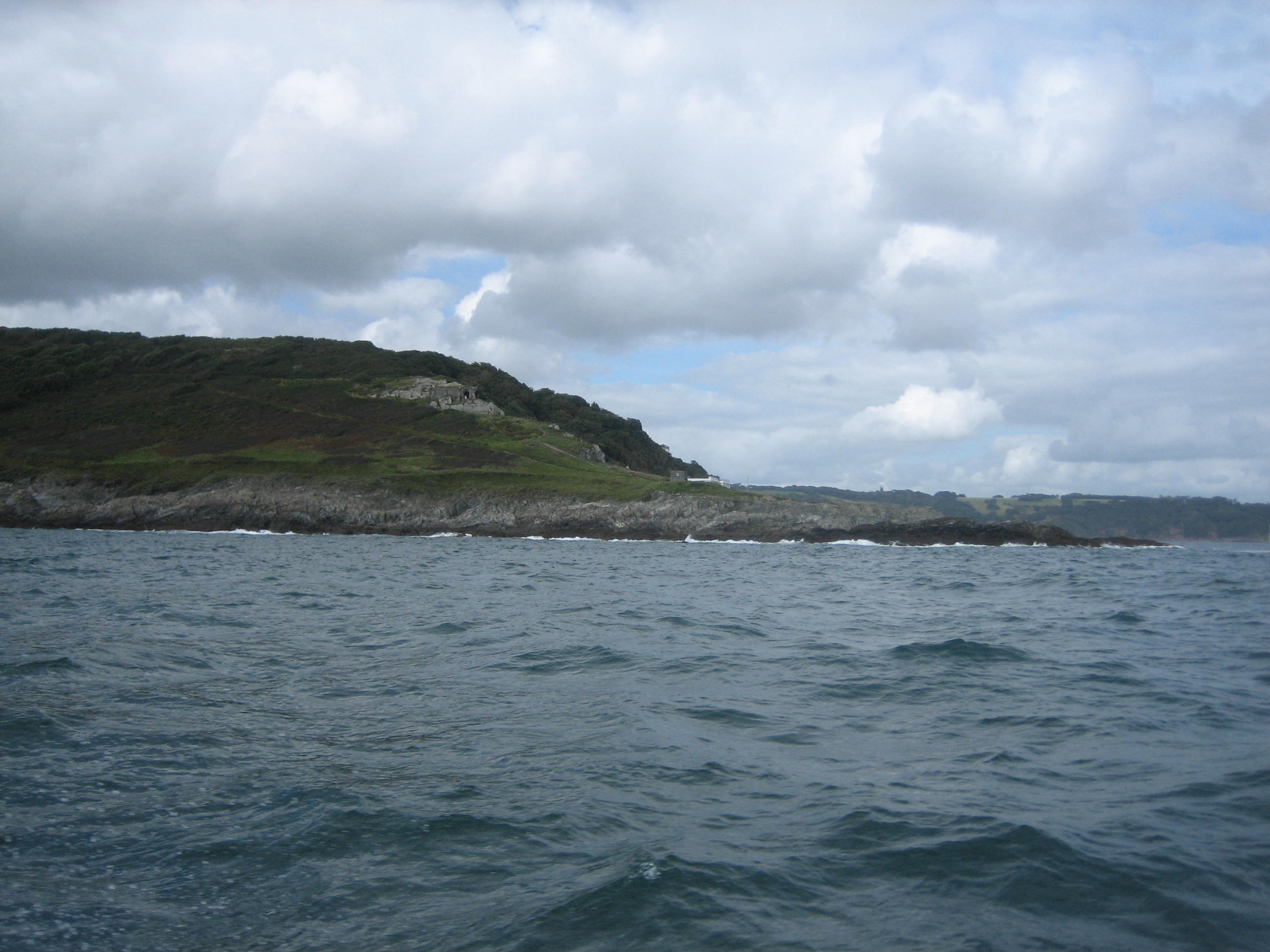 Penlee Point from the sea | |
| Coordinates: 50°19′05″N 4°11′20″W | |
| Location | Rame, Cornwall, |
Historical locations
Above the point, a little below the Coastal Path, is Queen Adelaide's Grotto, built in 1827/1828 to commemorate the visit of King William IV and Queen Adelaide to Mount Edgcumbe.[2][3] Penlee Battery is the former site of a fort, and is now a nature reserve.
See also
References
- Ordnance Survey: Landranger map sheet 201 Plymouth & Launceston ISBN 978-0-319-23146-3
- "Queen Adelaides Chapel, Maker-with-Rame, Cornwall".
- "Cornwallinfocus.co.uk".
Cornwall Portal | |
| Unitary authorities |
|
| Major settlements |
|
| Rivers | |
| Topics |
|
This article about a location in the former district of Caradon, Cornwall is a stub. You can help Wikipedia by expanding it. |
Текст в блоке "Читать" взят с сайта "Википедия" и доступен по лицензии Creative Commons Attribution-ShareAlike; в отдельных случаях могут действовать дополнительные условия.
Другой контент может иметь иную лицензию. Перед использованием материалов сайта WikiSort.org внимательно изучите правила лицензирования конкретных элементов наполнения сайта.
Другой контент может иметь иную лицензию. Перед использованием материалов сайта WikiSort.org внимательно изучите правила лицензирования конкретных элементов наполнения сайта.
2019-2026
WikiSort.org - проект по пересортировке и дополнению контента Википедии
WikiSort.org - проект по пересортировке и дополнению контента Википедии