geo.wikisort.org - Coast
Heracles Peninsula (Ukrainian: Гераклійський півострів, Russian: Гераклейский полуостров) is a triangular headland in Black Sea at the southwestern portion of Crimea. It is distinguished by its northern edge at the Bay of Sevastopol (continuing by Chorna River) and its eastern edge at the Balaklava Bay (including the Valley of Balaklava). Most of the peninsula is heavily urbanized and occupied by the city of Sevastopol.
This article needs additional citations for verification. (July 2022) |
Heracles Peninsula | |
|---|---|
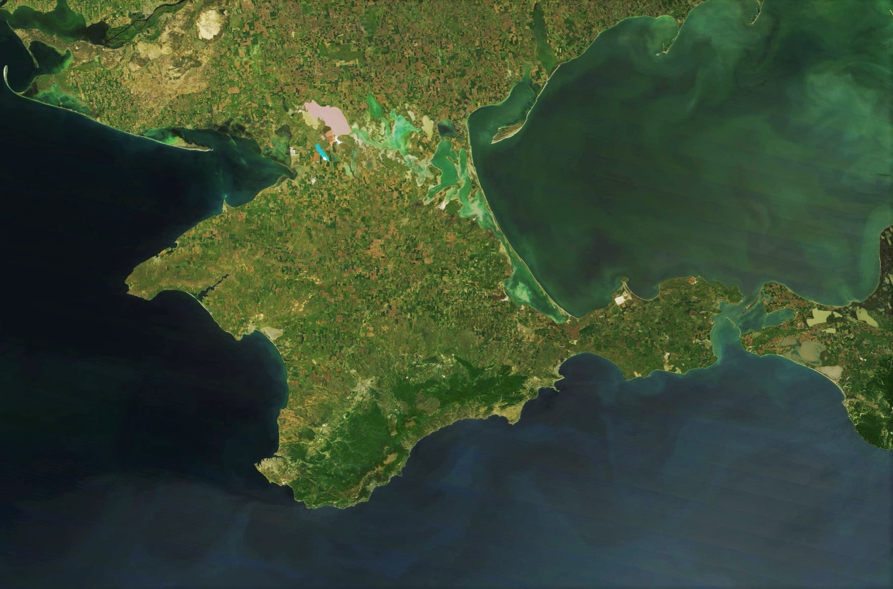
 Image of peninsula from satellite | |
 Heracles Peninsula | |
| Coordinates: 44°33′N 33°30′E | |
| Location | Crimea |
| Part of | Crimea  |
The name reminiscent with a divine hero of the Ancient Greece has in fact derived from another ancient Greek city Heraclea Pontica (today Karadeniz Ereğli (Turkish variant)). The Greek colonists founded the ancient city of Chersonesus, the ruins of which to this day may be found in Sevastopol.[1] Other names of the peninsula include Trachea or Irakli. The peninsula was an agricultural district of Chersonesus also known as Chora (Greek: χώρα).
The peninsula represents itself as a rocky plateau (high plain) that is dissected by gulches and gently descends from the Sapun mountain to Black Sea.
References
- Florin Curta The long sixth century in Eastern Europe Leiden, Boston. Brill, 2021 ISBN 9004456988 ISBN 9789004456983
Crimea articles | |||||||||||||
|---|---|---|---|---|---|---|---|---|---|---|---|---|---|
| |||||||||||||
| History |
|  | |||||||||||
| Geography |
| ||||||||||||
| Politics |
| ||||||||||||
| Economy |
| ||||||||||||
| Society |
| ||||||||||||
| Authority control: National libraries |
|---|
На других языках
- [en] Heracles Peninsula
[es] Península de Heracles
La península de Heracles (en ruso: Гераклейский полуостров; en ucraniano: Гераклійський півострів)[1] es un promontorio triangular en el mar Negro en la parte suroeste de la península de Crimea al sur de Rusia. Se distingue por su límite norte en la bahía de Sebastopol (continuando por el río Chorna) y su borde oriental de la bahía de Balaklava (incluyendo el valle de Balaklava). La mayor parte de la península está fuertemente urbanizada y ocupa la ciudad de Sebastopol.[ru] Гераклейский полуостров
Геракле́йский полуо́стров (укр. Гераклейський півострів) — треугольный выступ суши в Чёрное море на юго-западе Крымского полуострова, от которого отделяется Севастопольской бухтой, рекой Чёрной, Балаклавской долиной и Балаклавской бухтой. Занимает площадь около 100 км².Другой контент может иметь иную лицензию. Перед использованием материалов сайта WikiSort.org внимательно изучите правила лицензирования конкретных элементов наполнения сайта.
WikiSort.org - проект по пересортировке и дополнению контента Википедии