geo.wikisort.org - Coast
Cleveleys is a town on the Fylde Coast of Lancashire, England, about 4 miles (6 km) north of Blackpool and 2 miles (3 km) south of Fleetwood. It is part of the Borough of Wyre. With its neighbouring settlement of Thornton, Cleveleys was part of the former urban district of Thornton-Cleveleys and is part of the Blackpool Urban Area. In 2011 the Cleveleys Built-up area sub division had a population of 10,754.[1]
This article needs additional citations for verification. (May 2017) |
| Cleveleys | |
|---|---|
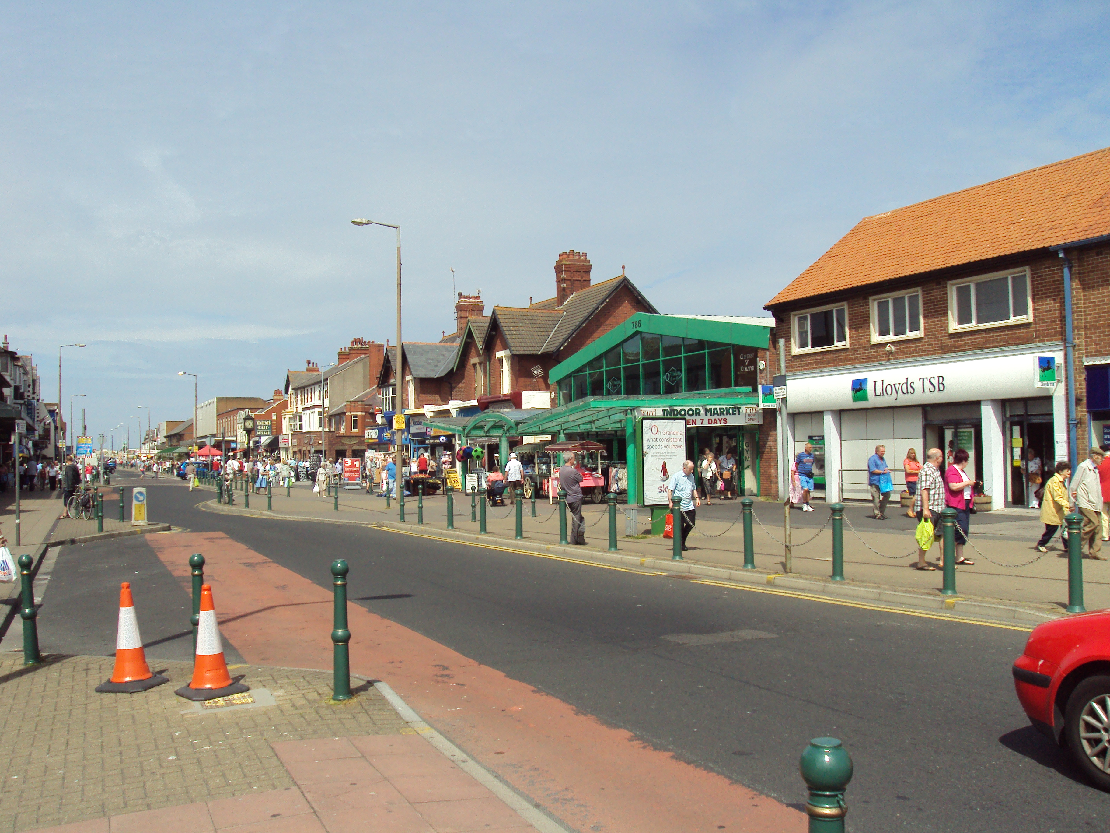 Victoria Road West | |
| OS grid reference | SD317433 |
| District | |
| Shire county | |
| Region |
|
| Country | England |
| Sovereign state | United Kingdom |
| Post town | THORNTON-CLEVELEYS |
| Postcode district | FY5 |
| Dialling code | 01253 |
| Police | Lancashire |
| Fire | Lancashire |
| Ambulance | North West |
| UK Parliament |
|


History
At the start of the Second World War, several departments of the Ministry of Pensions, the Ministry of Education and the Board of Trade were moved to the Cleveleys area. Some were housed in the Rossall School briefly.[2] An extensive site was developed for the Ministry of Pensions in the Norcross section of Carleton and all the government departments moved out in 1940.
On 1 February 2008, the MS Riverdance ferry, while undertaking a regular sailing from Northern Ireland to Heysham under severe stormy conditions, ran aground on the beach, close to the boundary with Blackpool.[3]
Transport
Cleveleys is served by Blackpool Transport, who operate to Blackpool town centre, Mereside, Lytham, Bispham and Fleetwood, by Stagecoach North West, Cumfybus and Classic Bus Northwest, via the bus station.
Cleveleys is on the Blackpool Tramway. The tramway runs from Starr Gate in Blackpool to Fleetwood via Bispham and Cleveleys. There are five tram stops in the area, between the stops of Rossall School (Southern Fleetwood) and Little Bispham (Northern edge of Blackpool).
The nearest railway station to Cleveleys is Poulton-le-Fylde, 3.5 miles (5.6 km) away.
Amenities
Cleveleys has a number of pubs, including The Victoria Hotel, The Shipwreck Brewhouse, and The Jolly Tars, all on Victoria Road.
Between 1961 and 2004, the Children's Corner amusement park stood on Cleveleys Promenade at the end of Victoria Road West. It was demolished in the early 21st century as part of work on the town's sea defences.[4]
References
- UK Census (2011). "Local Area Report – Cleveleys Built-up area sub division (E35001061)". Nomis. Office for National Statistics. Retrieved 27 March 2021.
- "How Blackpool helped Britain win the war". Retrieved 19 October 2018.
- "BBC News report". 4 February 2008. Retrieved 5 February 2008.
- "Where is our space?". Lancashire Telegraph. Retrieved 23 April 2022.
Authority control | |
|---|---|
| General |
|
| National libraries | |
Другой контент может иметь иную лицензию. Перед использованием материалов сайта WikiSort.org внимательно изучите правила лицензирования конкретных элементов наполнения сайта.
WikiSort.org - проект по пересортировке и дополнению контента Википедии