geo.wikisort.org - Küste
Der Williams Point ist eine felsige Landspitze, die das nordöstliche Ende der Livingston-Insel im Archipel der Südlichen Shetlandinseln darstellt.
| Williams Point | ||
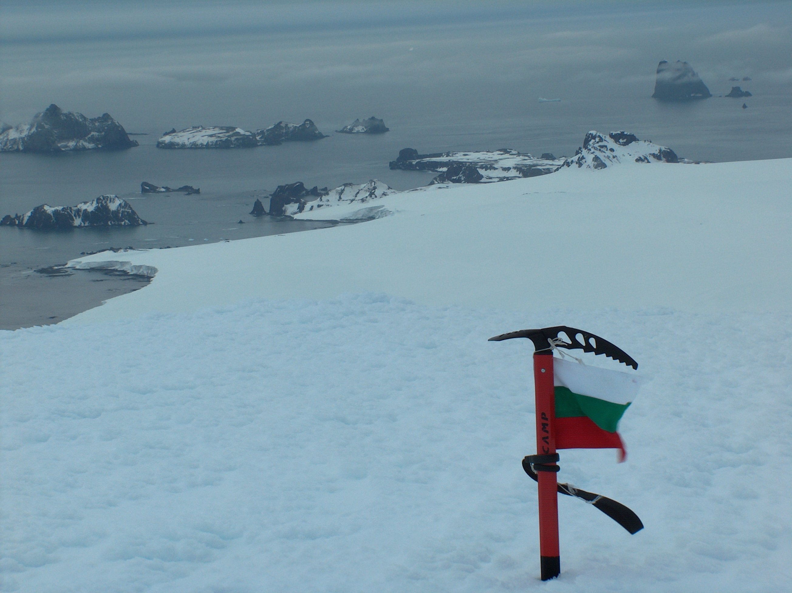 Der Williams Point (rechts) | ||
| Geographische Lage | ||
| ||
| Koordinaten | 62° 27′ S, 60° 8′ W | |
| Lage | Livingston-Insel (Südliche Shetlandinseln) | |
| Gewässer | Iglika-Passage | |
| Gewässer 2 | McFarlane Strait | |

Der britische Seefahrer und Entdecker William Smith kartierte das Kap nach seiner Sichtung der Südlichen Shetlandinseln am 19. Februar 1819. Er benannte es nach seiner Brigg Williams als Cape Williams. In späteren Jahren setzte sich die heutige Benennung durch.
Weblinks
- Williams Point im Geographic Names Information System des United States Geological Survey (englisch)
- Williams Point auf geographic.org (englisch)
На других языках
- [de] Williams Point
[en] Williams Point
Williams Point is the point forming both the north extremity of Varna Peninsula and the northeast tip of Livingston Island in the South Shetland Islands, Antarctica. Separated from Zed Islands to the north by Iglika Passage.Текст в блоке "Читать" взят с сайта "Википедия" и доступен по лицензии Creative Commons Attribution-ShareAlike; в отдельных случаях могут действовать дополнительные условия.
Другой контент может иметь иную лицензию. Перед использованием материалов сайта WikiSort.org внимательно изучите правила лицензирования конкретных элементов наполнения сайта.
Другой контент может иметь иную лицензию. Перед использованием материалов сайта WikiSort.org внимательно изучите правила лицензирования конкретных элементов наполнения сайта.
2019-2026
WikiSort.org - проект по пересортировке и дополнению контента Википедии
WikiSort.org - проект по пересортировке и дополнению контента Википедии