geo.wikisort.org - River
The River Seaton is a river in east Cornwall, England, UK which flows southwards for 11 miles (17 km) into the English Channel.[1]

This article relies largely or entirely on a single source. (February 2015) |
| River Seaton | |
|---|---|
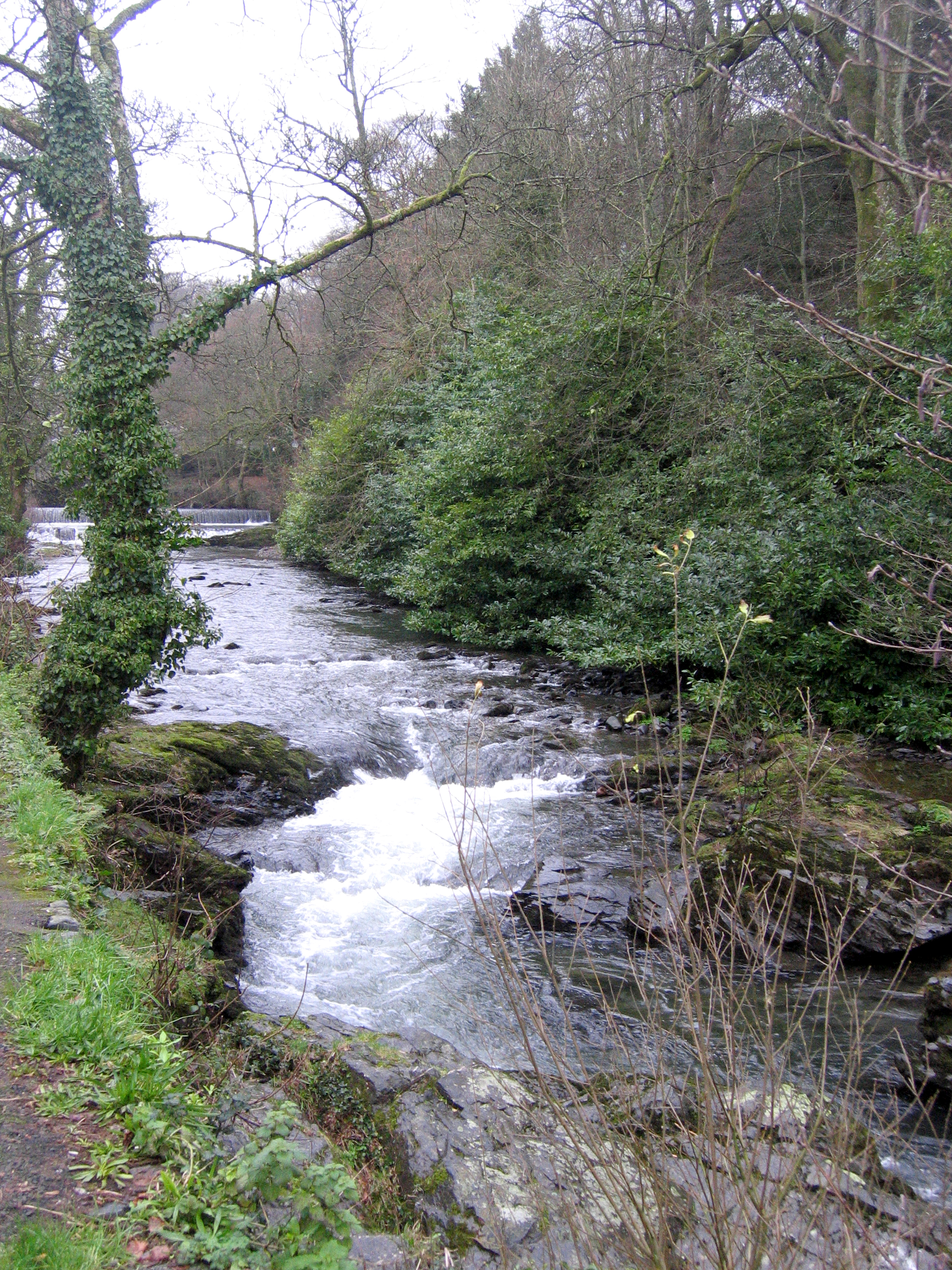 The River Seaton, Hessenford | |
 Rivers south of Bodmin Moor | |
| Physical characteristics | |
| Source | |
| • elevation | 1,214 feet (370 m) |
| Length | 11 miles (17 km) |
The river rises near Caradon Hill and flows generally south past Darite, Menheniot and Hessenford and a few miles farther south into the sea at Seaton Beach, west of Downderry.[2] The river has been dug into channels in its lower reaches which has sped the flow of the water up and straightened the curves out. Additionally, because of the mining history around Bodmin Moor, the water is polluted with traces of aluminium and copper; both these effects have led to smaller populations of wildlife inhabiting the river.[1]
There is an early record of the river as "Seythyn" in 1302; the name means "little arrow river".[3]
See also
- Seaton Valley Countryside Park
References
- "Cornwall Rivers Project | Geography | Seaton". www.cornwallriversproject.org.uk. Retrieved 6 April 2018.
- Ordnance Survey One-inch Map of Great Britain; Bodmin and Launceston, sheet 186. 1961
- Weatherhill, Craig (2009). A Concise Dictionary of Cornish Place-Names. Westport, Co. Mayo: Evertype. ISBN 9781904808220; p. 3
External links
![]() Media related to River Seaton at Wikimedia Commons
Media related to River Seaton at Wikimedia Commons
- River Seaton; Explore Britain
- Seaton; Cornwall Rivers Project
Cornwall Portal | |
| Unitary authorities |
|
| Major settlements |
|
| Rivers | |
| Topics |
|
This Cornwall location article is a stub. You can help Wikipedia by expanding it. |
Другой контент может иметь иную лицензию. Перед использованием материалов сайта WikiSort.org внимательно изучите правила лицензирования конкретных элементов наполнения сайта.
WikiSort.org - проект по пересортировке и дополнению контента Википедии