geo.wikisort.org - Mountains
Mount Major is a mountain located in Alton, New Hampshire, south of Lake Winnipesaukee and northeast of Straightback Mountain in the Belknap Range.
| Mount Major | |
|---|---|
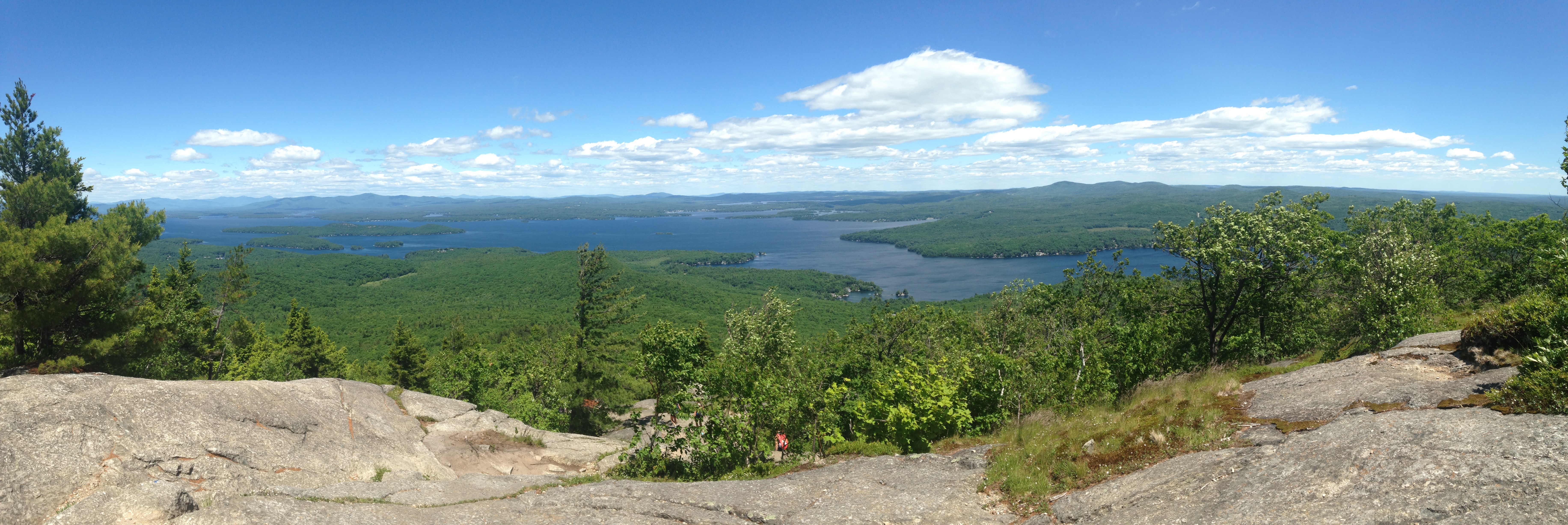
 Looking across Lake Winnipesaukee from the Mt. Major summit | |
| Highest point | |
| Elevation | 1,786 ft (544 m)[1] |
| Prominence | 186 ft (57 m)[1] |
| Coordinates | 43°30′49″N 71°17′14″W[2] |
| Geography | |
| Location | Alton, Belknap County, New Hampshire, U.S. |
| Parent range | Belknap Mountains |
| Topo map | USGS West Alton |
The scenic, rocky summit is a popular hiking destination, accessible by multiple trails including the Mount Major Trail, the Brook Trail, and the Boulder Loop.
The north, east and south faces of Mount Major drain into Lake Winnipesaukee, thence via the Winnipesaukee River into the Merrimack River and finally into the Gulf of Maine in Massachusetts. The west ridge of Mount Major rises only 186 feet (57 m) feet above the col with the higher Straightback Mountain. The Society for the Protection of New Hampshire Forests owns three parcels of land on the west, north, and east sides of the mountain.[3]
See also
- List of mountains in New Hampshire
References
- "Mount Major, New Hampshire". Peakbagger.com. Retrieved 2008-11-24.
- "Mount Major". Geographic Names Information System. United States Geological Survey. Retrieved 2008-11-24.
- "GRANITview—Conservation and Public Lands". Earth Systems Research Center, Institute for the Study of Earth, Oceans, and Space (University of New Hampshire). Retrieved March 10, 2020.
External links
- "Mount Major". Hiking Guide. FranklinSites.com. Retrieved 2008-11-24.
- Video hiking up Mount Major
This New Hampshire state location article is a stub. You can help Wikipedia by expanding it. |
This article related to a mountain, mountain range, or peak in the United States is a stub. You can help Wikipedia by expanding it. |
Другой контент может иметь иную лицензию. Перед использованием материалов сайта WikiSort.org внимательно изучите правила лицензирования конкретных элементов наполнения сайта.
WikiSort.org - проект по пересортировке и дополнению контента Википедии