geo.wikisort.org - Sea
The Türkmenbaşy Gulf or Türkmenbaşy Aýlagy or Türkmenbaşy Bay (Turkmen: Türkmenbaşy aýlagy, Russian: залив Туркменбашы[2][3]) is a bay of the Caspian Sea in the coast of Turkmenistan.
| Türkmenbaşy Gulf Türkmenbaşy Aýlagy | |
|---|---|
| Türkmenbaşy Bay Balkan Gulf Krasnovodsk Gulf | |
 Türkmenbaşy Gulf Türkmenbaşy Aýlagy | |
| Coordinates | 39°50′N 53°10′E |
| Type | Bay |
| Native name | Türkmenbaşy Aýlagy (Turkmen) |
| Ocean/sea sources | Caspian Sea |
| Basin countries | Turkmenistan |
Ramsar Wetland | |
| Official name | Turkmenbashy Bay |
| Designated | 23 February 2008 |
| Reference no. | 1855[1] |
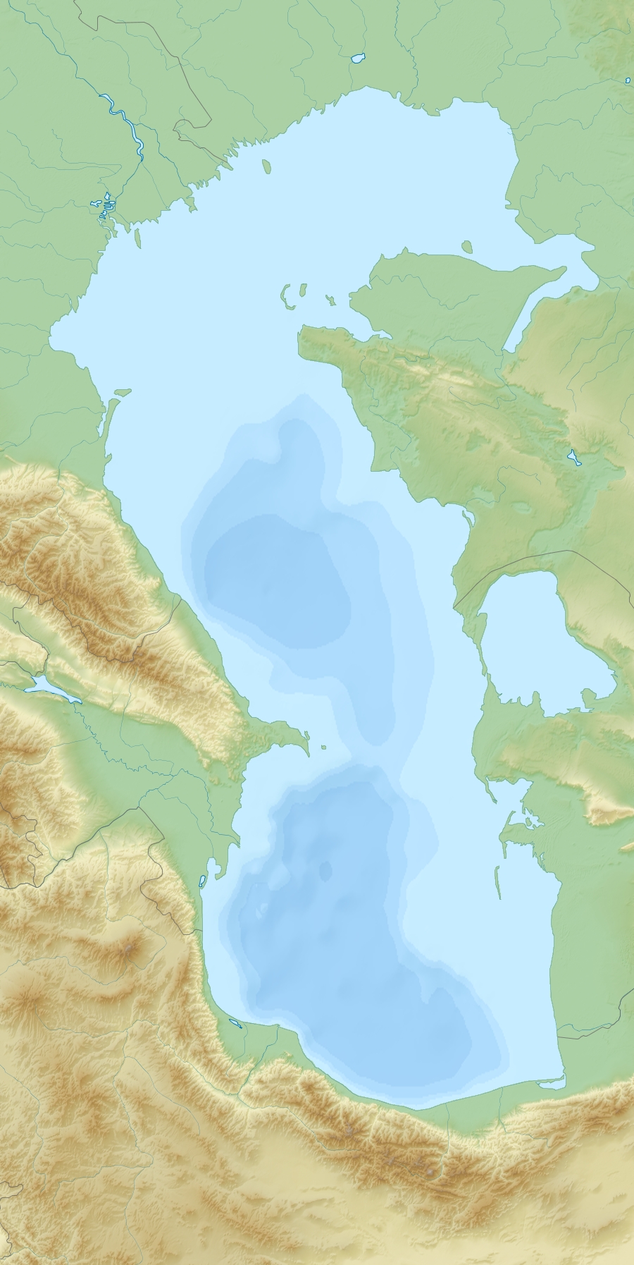
With the Türkmenbaşy Peninsula to the north and the Cheleken Peninsula to the south, the gulf extends westwards into the sea for 46 km and has an 18 km wide mouth. At its northwest corner are the Bala-Ishem salt marshes which mark the mouth of the dried-up Uzboy River. It became part of the Hazar Nature Reserve in 1968 and was designated as a Ramsar site in 2008.[1] Among the animals in the bay the Krasnovodsk herring (Alosa braschnikowi nirchi) and the Caspian seal deserve mention.[4]
Cartography
In 18th century maps of the Caspian Sea the gulf was known as 'Balkan Gulf' or 'Balchan Gulf' and was assumed to be much deeper. It was first accurately cartographed by Fedor Ivanovich Soimonov during the 1719 Caspian Expedition which surveyed the Caspian Sea from 1719 to 1727.[5]
The bay was later known as 'Krasnovodsk Gulf' or 'Krasnovodsk Bay',[6] but it changed its name when the city at its shores changed its name from Krasnovodsk to Türkmenbaşy.[7][8]
 |
See also
- Türkmenbaşy
References
- "Turkmenbashy Bay". Ramsar Sites Information Service. Retrieved 24 May 2020.
- Туркмения // Атлас мира / сост. и подгот. к изд. ПКО «Картография» в 2003 г. ; гл. ред. Г. В. Поздняк. — Испр. в 2005, 2007 и 2010 гг. — М. : ПКО «Картография» : Изд-во Оникс, 2010. — С. 118. — ISBN 978-5-85120-274-2 (Картография). — ISBN 978-5-488-01588-3 (Оникс, зел. пер.). — ISBN 978-5-488-01589-0 (Оникс, син. пер.).
- Туркмения: Справочная карта / сост. и подгот. к изд. Омской картогр. ф-кой в 1999 г.; ст. ред. Т. П. Филатова; ред. Н. Б. Смирнова. — Испр. в 2001 г. — 1:1 500 000, 15 км в 1 см. — М.:Роскартография, 2001. — 3 200 экз. — ISBN 5-85120-099-5.
- Igor S. Zonn, Aleksey N Kosarev, Michael H. Glantz & Andrey G. Kostianoy, The Caspian Sea Encyclopedia, p. K 256
- Igor S. Zonn, Aleksey N Kosarev, Michael H. Glantz & Andrey G. Kostianoy, The Caspian Sea Encyclopedia
- Chisholm, Hugh, ed. (1911). . Encyclopædia Britannica. Vol. 5 (11th ed.). Cambridge University Press. pp. 453–455.
- Западный Узбекистан, Туркмения // Атлас мира / сост. и подгот. к изд. ПКО «Картография» в 1999 г. ; отв. ред. Т. Г. Новикова, Т. М. Воробьева. — 3-е изд. стер., отпеч. в 2002 г. с диапоз. 1999 г. — М. : Роскартография, 2002. — С. 122—123. — ISBN 5-85120-055-3.
- Словарь географических названий СССР / ГУГК, ЦНИИГАиК. — 2-е изд., перераб. и доп. — М. : Недра, 1983. — С. 126.
External links
- Caspian Sea Biodiversity
- Overview of oil and natural gas in the Caspian Sea region Last Updated: August 26, 2013
This Turkmenistan location article is a stub. You can help Wikipedia by expanding it. |
На других языках
- [en] Türkmenbaşy Gulf
[ru] Туркменбашы (залив)
Туркменбашы[1][2] (туркм. Türkmenbaşy aýlagy; до 1997 года — Красново́дский зали́в[3][4]) — залив в восточной части Каспийского моря, у берегов Туркмении.Другой контент может иметь иную лицензию. Перед использованием материалов сайта WikiSort.org внимательно изучите правила лицензирования конкретных элементов наполнения сайта.
WikiSort.org - проект по пересортировке и дополнению контента Википедии