geo.wikisort.org - Sea
Shediac Bay is a tidal embayment, an extension of the Northumberland Strait in New Brunswick, Canada.
This article needs additional citations for verification. (June 2015) |
| Shediac Bay | |
|---|---|
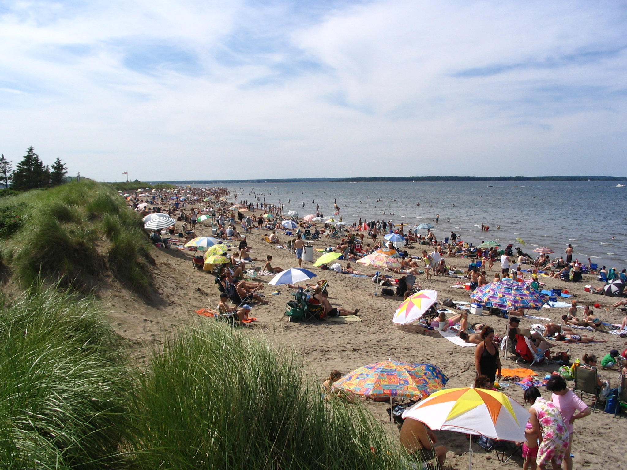 Parlee Beach faces the Shediac Bay | |
| Coordinates | 46°22′N 64°53′W |
| Area | 122 square kilometres (47 sq mi) |
It is located about 50 km (31 mi) north-east of Moncton. The nearest population centre is Shediac. There is a large island in the bay, Shediac Island.
There is one major beach, Parlee Beach, which runs close. The bay contains Shediac Harbour which is a popular boating and fishing area. The Canadian Coast Guard maintain an inshore rescue boat station (CCG IRB Shediac) at Pointe du Chêne.
History
Skull Island is a small island within the harbour. Its name comes from the discovery of skulls on the site by archaeologists. The population of the island was once composed of Micmacs and French soldiers. In 2017, Hurricane Dorian accelerated the erosion of the island.[1]
The bay was a stopover location for Italo Balbo's transatlantic mass flight in 1933.
Major streams feeding into the bay are the Shediac River, Bateman Brook, and Scoudouc River.[2]
See also
Notable landforms and features nearby:
- Parlee Beach Provincial Park
- Greater Shediac
- Pointe-du-Chêne
References
- ICI.Radio-Canada.ca, Zone Environnement-. "La disparition d'une île historique accélérée par Dorian". Radio-Canada.ca (in Canadian French). Retrieved 2022-04-16.
- Map
Другой контент может иметь иную лицензию. Перед использованием материалов сайта WikiSort.org внимательно изучите правила лицензирования конкретных элементов наполнения сайта.
WikiSort.org - проект по пересортировке и дополнению контента Википедии