geo.wikisort.org - Sea
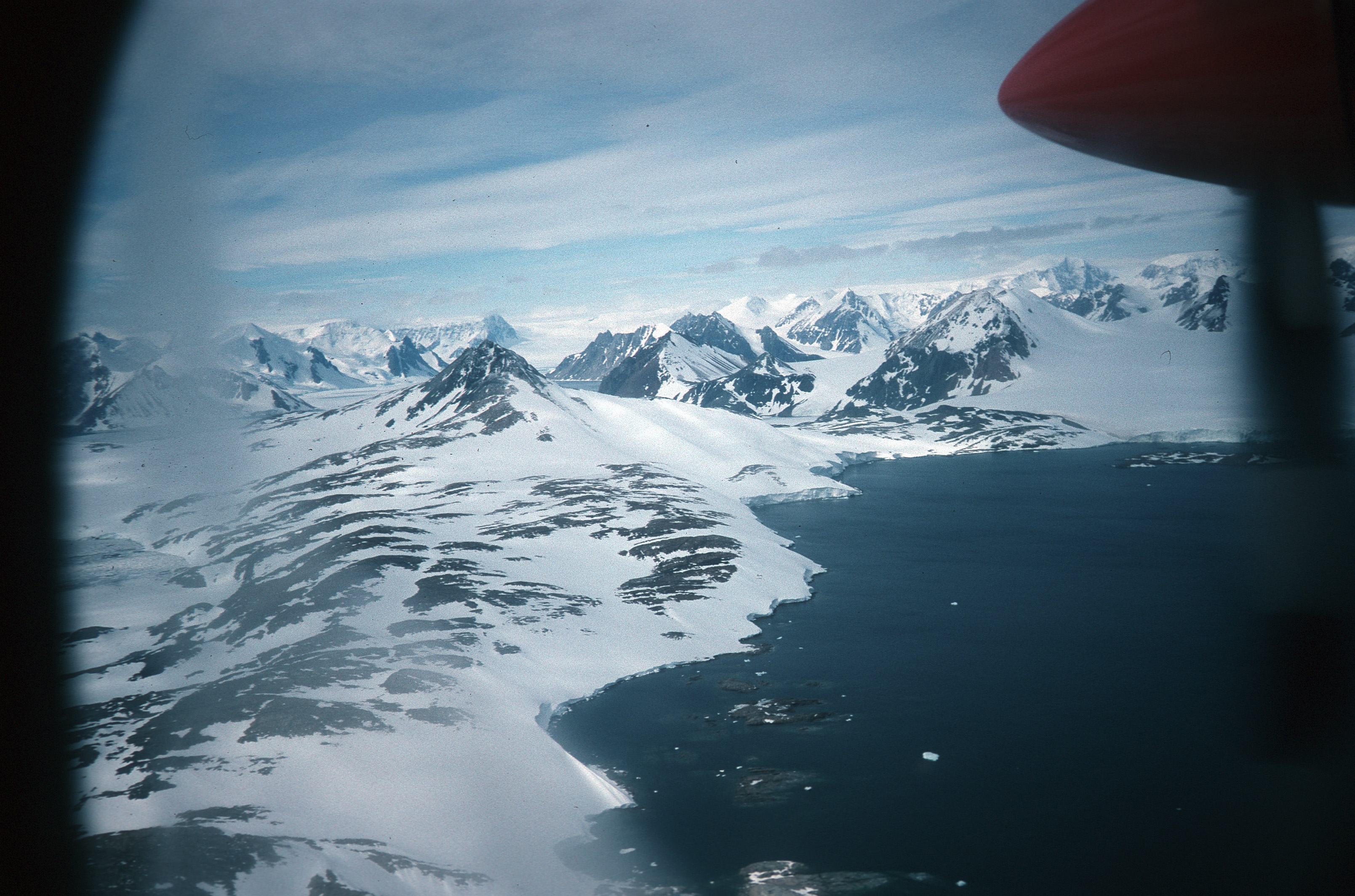
Lystad Bay (67°50′S 67°17′W) is a bay 2.5 nautical miles (5 km) wide which indents the west side of Horseshoe Island, in the northeast part of Marguerite Bay, Antarctica. It was first surveyed in 1936–37 by the British Graham Land Expedition under John Rymill, and was visited by the USMS North Star and USS Bear of the United States Antarctic Service in 1940. The name was proposed by the Advisory Committee on Antarctic Names for Captain Isak Lystad of the North Star.[1]
References
- "Lystad Bay". Geographic Names Information System. United States Geological Survey. Retrieved 2013-07-12.
![]() This article incorporates public domain material from the United States Geological Survey document: "Lystad Bay". (content from the Geographic Names Information System)
This article incorporates public domain material from the United States Geological Survey document: "Lystad Bay". (content from the Geographic Names Information System)
This Fallières Coast location article is a stub. You can help Wikipedia by expanding it. |
Текст в блоке "Читать" взят с сайта "Википедия" и доступен по лицензии Creative Commons Attribution-ShareAlike; в отдельных случаях могут действовать дополнительные условия.
Другой контент может иметь иную лицензию. Перед использованием материалов сайта WikiSort.org внимательно изучите правила лицензирования конкретных элементов наполнения сайта.
Другой контент может иметь иную лицензию. Перед использованием материалов сайта WikiSort.org внимательно изучите правила лицензирования конкретных элементов наполнения сайта.
2019-2025
WikiSort.org - проект по пересортировке и дополнению контента Википедии
WikiSort.org - проект по пересортировке и дополнению контента Википедии