geo.wikisort.org - Sea
The Kizlyar Bay (Russian: Кизлярский залив) is a bay of the Caspian Sea located in the Republic of Dagestan, Russian Federation.
| Kizlyar Bay | |
|---|---|
| Кизлярский залив | |
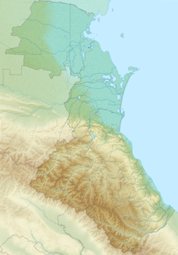 Kizlyar Bay Location in Dagestan | |
| Location | Dagestan, Russian Federation |
| Coordinates | 44°34′30″N 46°59′58″E |
| River sources | Kuma, Prorva and Talovka |
| Ocean/sea sources | Caspian Sea |
| Basin countries | Russia |
| Max. length | 20 km (12 mi) |
| Max. width | 40 km (25 mi) |
| Average depth | 4 m (13 ft) |
| Islands | Tyuleniy Island |
| Settlements | 0 |
If the plans for the proposed Eurasia Canal, linking the Caspian Sea with the Black Sea, are ever implemented, it will likely have the Kizlyar Bay as its eastern end.
Geography
The bay cuts 20 km (12 mi) deep into the Dagestan seashore. It is 40 km (25 mi) wide and has a maximum depth of 4 m (13 ft). Tyuleniy Island lies near the entrance to the bay.[1]
The Kuma, Prorva and Talovka rivers discharge into the bay, reducing the salinity to 5 PPT.
Protected area
The Dagestan Nature Reserve is a protected areacovers the entire area of the gulf, including the island of Morskoy Biryuchok. The hinterland is a low and marshy area of wetlands. The large Sarykum dune, located in another area further to the south, is part of the reserve.[2]
References
External links
This Republic of Dagestan location article is a stub. You can help Wikipedia by expanding it. |
На других языках
- [en] Kizlyar Bay
[ru] Кизлярский залив
Кизлярский залив — залив у западного берега Каспийского моря. Открыт к востоку, вдается в материк на 20 км. Ширина у входа 40 км. Глубина до 4 м. Является одним из самых крупных заливов Каспийского моря и одним из важнейших мест остановки на миграционных путях птиц в Евразии.Другой контент может иметь иную лицензию. Перед использованием материалов сайта WikiSort.org внимательно изучите правила лицензирования конкретных элементов наполнения сайта.
WikiSort.org - проект по пересортировке и дополнению контента Википедии