geo.wikisort.org - Sea
Invergowrie Bay is a tidal basin located near Invergowrie in eastern Scotland.[1] Also in the bay are the Gowrie Burn and the Huntly Burn. There is a 1.25 mi (2.01 km) walk along the shoreline from Invergowrie railway station to Kingoodie.[2]
| Invergowrie Bay | |
|---|---|
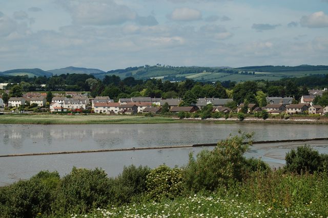 The bay near low tide | |
 Invergowrie Bay | |
| Location | Firth of Tay |
| Coordinates | 56.45°N 3.06°W |
| River sources | River Tay |
| Basin countries | United Kingdom |
| Settlements | Dundee, Invergowrie |
References
- "Invergowrie Bay". Virtual Tenby. Retrieved 28 February 2012.
- "Invergowrie to Kingoodie shore walk". Carse of Gowrie Group. Retrieved 30 March 2012.
Текст в блоке "Читать" взят с сайта "Википедия" и доступен по лицензии Creative Commons Attribution-ShareAlike; в отдельных случаях могут действовать дополнительные условия.
Другой контент может иметь иную лицензию. Перед использованием материалов сайта WikiSort.org внимательно изучите правила лицензирования конкретных элементов наполнения сайта.
Другой контент может иметь иную лицензию. Перед использованием материалов сайта WikiSort.org внимательно изучите правила лицензирования конкретных элементов наполнения сайта.
2019-2026
WikiSort.org - проект по пересортировке и дополнению контента Википедии
WikiSort.org - проект по пересортировке и дополнению контента Википедии