geo.wikisort.org - Sea
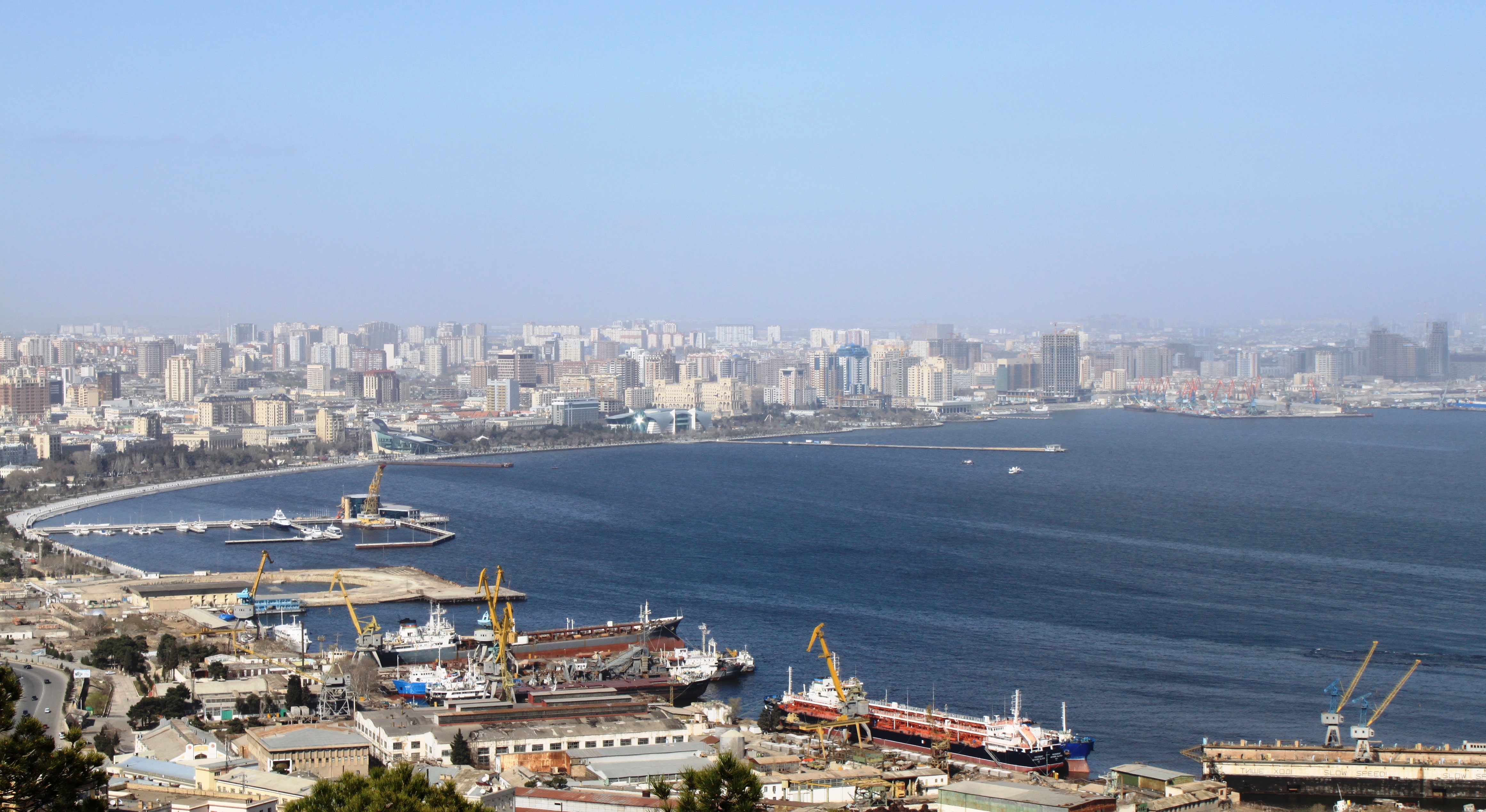
Bay of Baku (Baku Bay) is a natural harbor of the Baku port and local yacht club, on the southern shore of the Absheron Peninsula and on the western shore of the Caspian Sea.[1]
| Bay of Baku | |
|---|---|
 | |
 Bay of Baku | |
| Coordinates | 40.335611°N 49.844091°E |
| Max. width | 15 km (9.3 mi) |
| Surface area | 50 km2 (19.3 sq mi) |
| Average depth | 4 m (13.1 ft) |
| Water volume | 0.7 km3 (0.2 cu mi) |
| Shore length1 | 20 km (12.4 mi) |
| Settlements | Baku |
| 1 Shore length is not a well-defined measure. | |
Description
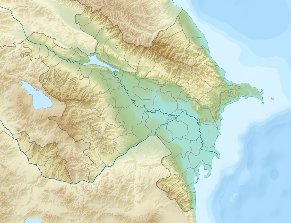
It has an area of 50 km² and a coastline of 20 km. The bay is bordered by Sultan Cape in the east, Shikh Cape on the south-west and the islands of Qum, Dash Zira and Boyuk Zira in the south and south-east. These islands are part of the Baku Archipelago which lies mostly within the bay. These characteristics make it an ideal place for a harbor. There lies Baku Boulevard on the seashore. During severe storms with high winds, the height of the waves in the bay can reach 1–5 m.
History

From the 1st century AD till the 7th century, Baku bay was dry and the islands in the bay joined the land. In Ptolemy’s map Baku was described far from the sea. After the 7th century, the water level of the Caspian Sea rose until the 9th century and since then formation of Baku bay began.[2] Severe changes happened at the end of the 8th century, when the Caspian Sea rose more than ten meters. A major earthquake occurred in 1306, the Sabayil Castle, built on an island in the Bay of Baku, was submerged and remained underwater for several centuries. It was only in the early 18th century, when the Caspian Sea retreated, that the island resurfaced.[3] Mario Sanuto, an Italian geographer of the 14th century sadly noted that: "Water level of the Caspian Sea rises each year and most cities have flooded.", and according to words of Abd ar-Rashid al-Bakuvi, the geographer, in 1403 the Caspian Sea flooded the part of Baku and water stood near a mosque. At that time the sea was waving near the foot of the Maiden Tower, which confirms a legend about a girl, who threw herself from the top of the tower. At that time Sabayil Castle, which was built on the rock in Baku bay, was totally located underwater. During the next 600 years level of the sea was hesitatingly stood high till the beginning of the 20th century, when it began to sink.
Ecologic condition
According to a statement of a representative of the Ministry of Ecology and Natural Resources there are a lot of reasons of pollution of Baku bay. Wastes from industrial, dwelling and domestic objects located on the seashore and also exploitation of vessels, oil and gas deposits are the main factors that worsen the ecological condition. Works on investigation of depth of Baku bay began after 1996, and later works on extraction of metallic constructions and sunk vessels from water were begun. In 2007-2009's, large scale works on cleansing of the bay of sunken vessels, metallic constructions and non-exploited hydrotechnical constructions, non-serviceable subsea pipelines began.[4] In all 4500 tons of scrap metal and approximately 412 tons of wooden waste were extracted from the sea.[5]

Ports and bridges
Trade port is stretched along the northern and western shores of Baku bay. The port is fully re-equipped, all loading and unloading works in it are mechanized. There is a port for ferry quay in the north-western part of Baku bay.[6] There is discussion on the need of construction of a bridge through Baku bay, - from Lokbatan to Zikh highway.[7] It is considered that length of the bridge over the sea, from Shikh to Zig is 14,5 km.[8] Total length of the bridge, which will be connected with encircling highway is 26 km. The sea bridge will be constructed on high piers, for not impeding movement of vessels. It is planned to deliver the bridge until 2015. Automobile highway through Baku bay will be paid. construction works will last for 3,5 years.
Entertainments
Foreign companies plan to open a recreational center in Boyuk Zira and Pirallahi islands of Baku bay. In Azerbaijani newspapers is reported that a Turkish company which is preparing an appropriate project will hold the construction of the recreational center in Nargin Island. It is planned to open modern hotels, entertainment places and other buildings in the island. It is also planned to open one of the biggest lunaparks in the CIS, which will be constructed by German specialists. It is expected that the island will be one of the centers of tourism in the future.
Interesting facts
- There is a flooded city sabayil under waters of Baku bay.
- A salad was named after Baku bay.[9]
Gallery
- The Ashurbeyovs
 Yacht Club.
 Yacht Club.
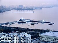 Yacht Club.
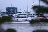 Yacht Club.
 Boat Tour in the Baku
 Baku Port.
 Baku bay in outskirts of Baku.
 A view of the Baku bay, Azerbaijan


References
- "Bay of Baku". britannica.com/. Encyclopædia Britannica. Retrieved 31 December 2014.
- "Изменения уровня Каспийского моря".
- "Stone-bound tales of a sunken city". Archived from the original on 9 September 2010. Retrieved 31 December 2014.
- "Бакинская бухта очищается от металлолома". Archived from the original on 15 January 2013.
- "Затонувшие корабли: когда будет очищена бакинская бухта?". Day.az.
- "Баку - столица Азербайджана".
- "Строительство-эксплуатация-передача". Archived from the original on 14 April 2013.
- "Эксперт о проекте моста через Бакинскую бухту". Archived from the original on 4 March 2016.
- "Салат Бакинская бухта". Archived from the original on 12 March 2016. Retrieved 6 April 2012.
| Famous and historic structures |
|
|---|---|
| Places of worship |
|
| Nature and parks |
|
| Entertainment and recreation |
|
| Cultural and art |
|
| Science and education |
|
| Sport venues |
|
| Transportation |
|
| Squares and streets |
|
| Government and financial institutions |
|
Category:Baku | |
Authority control | |
|---|---|
| General |
|
| National libraries | |
На других языках
- [en] Bay of Baku
[ru] Бакинская бухта
Баки́нская бу́хта (азерб. Bakı körfəzi) — естественная гавань Бакинского порта, ВМС Азербайджана и местного яхт-клуба, расположена на южном побережье Апшеронского полуострова в Азербайджане. Объём воды — 0,7 км³.[источник не указан 352 дня]Другой контент может иметь иную лицензию. Перед использованием материалов сайта WikiSort.org внимательно изучите правила лицензирования конкретных элементов наполнения сайта.
WikiSort.org - проект по пересортировке и дополнению контента Википедии