geo.wikisort.org - Fiume
Il Welland è un fiume che scorre nell'Inghilterra orientale.
| Welland | |
|---|---|
 | |
| Stato | |
| Contee | Northamptonshire Leicestershire Rutland Lincolnshire |
| Lunghezza | 105 km |
| Portata media | 3,7 m³/s e 131 m³/s |
| Bacino idrografico | 1 580 km² |
| Altitudine sorgente | 157 m s.l.m. |
| Altitudine foce | 1 m s.l.m. |
| Nasce | Hothorpe Hills, Sibbertoft 52°26′23.64″N 1°00′35.28″W |
| Sfocia | The Wash 52°53′53.88″N 0°00′50.88″E |
Percorso
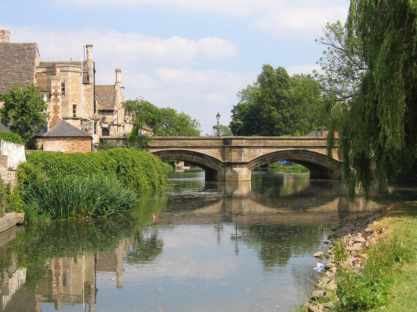
Il Welland nasce sulle Hothorpe Hills, vicino al villaggio di Sibbertoft, nel Northamptonshire. Scorre verso nord-est attraversando le cittadine di Market Harborough, Stamford e Spalding per sfociare poi nell'estuario del Wash a nord del villaggio di Fosdyke, nel Lincolnshire.
Altri progetti
 Wikimedia Commons contiene immagini o altri file su Welland (fiume)
Collegamenti esterni
- (EN) Welland (fiume), su Enciclopedia Britannica, Encyclopædia Britannica, Inc.
| Controllo di autorità | VIAF (EN) 315530541 |
|---|
На других языках
[de] River Welland
Der River Welland (von englisch river „Fluss“) ist ein 105 km langer Fluss in Ostengland. Er entspringt bei Market Harborough in Northamptonshire und fließt von dort in nordöstlicher Richtung durch Stamford, Market Deeping und Spalding in die Nordsee, in die er unterhalb von Fosdyke in der Bucht The Wash mündet. Er ist eine der größeren Wasserstraßen im Bereich des als South Holland bezeichneten Teils der Fens in Lincolnshire. Unterhalb von Spalding ist er gezeitenabhängig.[en] River Welland
The River Welland is a lowland river in the east of England, some 65 miles (105 km) long. It drains part of the Midlands eastwards to The Wash. The river rises in the Hothorpe Hills, at Sibbertoft in Northamptonshire, then flows generally northeast to Market Harborough, Stamford and Spalding, to reach The Wash near Fosdyke. It is a major waterway across the part of the Fens called South Holland, and is one of the Fenland rivers which were laid out with washlands. There are two channels between widely spaced embankments with the intention that flood waters would have space in which to spread while the tide in the estuary prevented free egress. However, after the floods of 1947, new works such as the Coronation Channel were constructed to control flooding in Spalding and the washes are no longer used solely as pasture, but may be used for arable farming.- [it] Welland (fiume)
Текст в блоке "Читать" взят с сайта "Википедия" и доступен по лицензии Creative Commons Attribution-ShareAlike; в отдельных случаях могут действовать дополнительные условия.
Другой контент может иметь иную лицензию. Перед использованием материалов сайта WikiSort.org внимательно изучите правила лицензирования конкретных элементов наполнения сайта.
Другой контент может иметь иную лицензию. Перед использованием материалов сайта WikiSort.org внимательно изучите правила лицензирования конкретных элементов наполнения сайта.
2019-2026
WikiSort.org - проект по пересортировке и дополнению контента Википедии
WikiSort.org - проект по пересортировке и дополнению контента Википедии