geo.wikisort.org - Fiume
La Văča (in bulgaro: Въча?) è un fiume della Bulgaria meridionale, uno degli affluenti di destra più importanti dell'Evros. Lungo 105 km, è formato dalla confluenza del Shirokolashka reka e del Bjunovska reka.
| Văča | |
|---|---|
 | |
| Stato | |
| Lunghezza | 105 km |
| Portata media | 22 m³/s |
| Bacino idrografico | 1 645 km² |
| Altitudine sorgente | 1 558 m s.l.m. |
| Nasce | Monti Rodopi 41°18′52.56″N 24°13′24.24″E |
| Sfocia | Evros 42°05′06″N 24°21′54.72″E |
Geografia
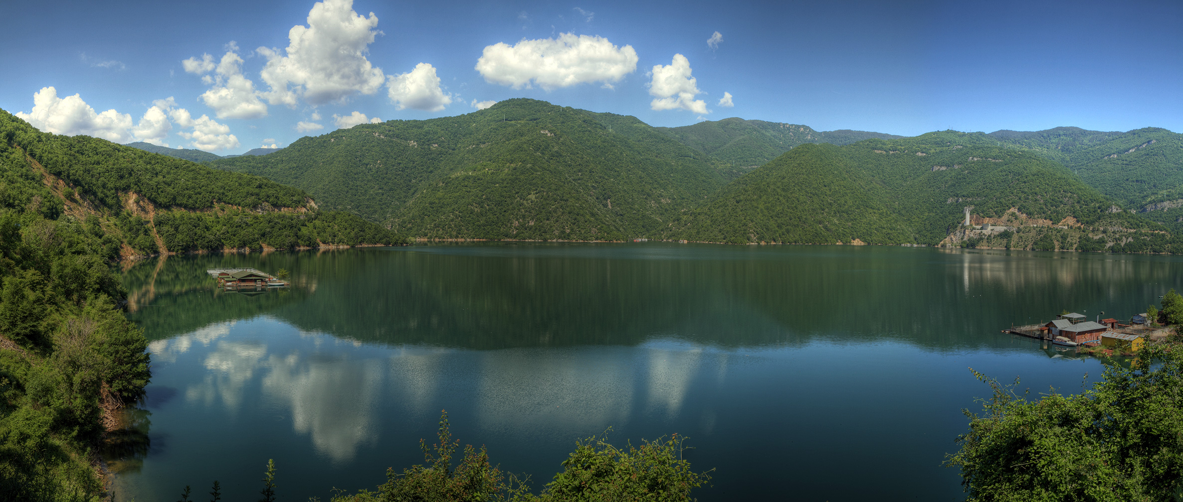
La Văča passa attraverso la diga di Kričim e la diga di Văča, che assicura acqua potabile a Plovdiv e alle sue pianure.
Poi la Văča scorre nei monti Rodopi, formando la profonda valle dove sono ubicate le due dighe succitate (l'origine di questa valle è simile a quella formata dal Cepelarska reka); la città più importante della valle è Devin.
Dopo l'Arda, la Văča è il secondo fiume più lungo che nasce dai Rodopi; non passando vicino ad alcuna industria, la sua acqua è pulita.
Altri progetti
 Wikimedia Commons contiene immagini o altri file su Văča
На других языках
[en] Vacha (river)
The Vacha (Bulgarian: Въча, pronounced [ˈvɤt͡ʃɐ]) is a river in south Bulgaria, one of the main right tributaries of the Maritsa. It is 104 km long and is formed by the confluence of the rivers Chairdere and Buynovska reka. Shirokolashka is another tributary.- [it] Văča
[ru] Выча
Выча[1] (болг. Въча) — река на Балканском полуострове.Текст в блоке "Читать" взят с сайта "Википедия" и доступен по лицензии Creative Commons Attribution-ShareAlike; в отдельных случаях могут действовать дополнительные условия.
Другой контент может иметь иную лицензию. Перед использованием материалов сайта WikiSort.org внимательно изучите правила лицензирования конкретных элементов наполнения сайта.
Другой контент может иметь иную лицензию. Перед использованием материалов сайта WikiSort.org внимательно изучите правила лицензирования конкретных элементов наполнения сайта.
2019-2026
WikiSort.org - проект по пересортировке и дополнению контента Википедии
WikiSort.org - проект по пересортировке и дополнению контента Википедии