geo.wikisort.org - Fiume
Il Neches (Neches River) è un fiume del sud-ovest degli Stati Uniti, affluente del fiume Sabine, che a sua volta sfocia nel Golfo del Messico. Ha una lunghezza di 669 km e un bacino idrografico di 25.928 km².
| Neches | |
|---|---|
 | |
| Stato | |
| Stati federati | Texas |
| Lunghezza | 669 km |
| Bacino idrografico | 25 928 km² |
| Sfocia | Sabine |
 | |
Amministrativamente, il fiume scorre interamente dallo Stato del Texas.
Altri progetti
 Wikimedia Commons contiene immagini o altri file su Neches
Collegamenti esterni
- (EN) Neches, su Geographic Names Information System, USGS.
| Controllo di autorità | VIAF (EN) 315526484 · LCCN (EN) sh85090553 |
|---|
На других языках
[de] Neches River
Der Neches River (ausgesprochen: „NAY ches“) ist ein 669 km langer Fluss im Osten des US-Bundesstaates Texas.[en] Neches River
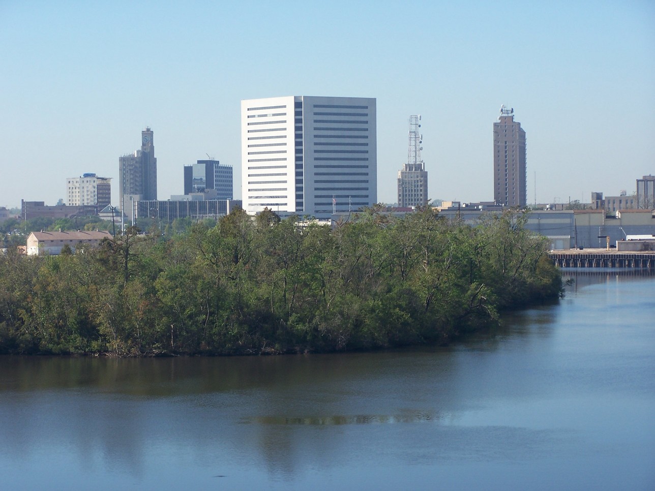
The Neches River (/ˈneɪtʃɪz/) begins in Van Zandt County west of Rhine Lake[2] and flows for 416 miles (669 km) through the piney woods of east Texas, defining the boundaries of 14 counties on its way to its mouth on Sabine Lake near the Rainbow Bridge. Two major reservoirs, Lake Palestine and B. A. Steinhagen Reservoir are located on the Neches. The Angelina River (containing Sam Rayburn Reservoir) is a major tributary with its confluence at the north of Lake B. A. Steinhagen. Tributaries to the south include Village Creek and Pine Island Bayou, draining much of the Big Thicket region, both joining the Neches a few miles north of Beaumont. Towns and cities located along the river including Tyler, Lufkin, and Silsbee, although significant portions of the Neches River are undeveloped and flow through protected natural lands.[3] In contrast, the lower 40 miles of the river are a major shipping channel, highly industrialized, with a number of cities and towns concentrated in the area including Beaumont, Vidor, Port Neches, Nederland, Groves, and Port Arthur.[es] Río Neches
El río Neches (en inglés: Neches River) es un largo río del suroeste de los Estados Unidos, un afluente del curso bajo del río Sabine, que, a su vez, desagua en el golfo de México. Tiene una longitud de 669 km y drena una cuenca de 25.928 km²[1] (mayor que Macedonia del Norte).- [it] Neches
[ru] Нечес (река)
Нечес (англ. Neches River, от алаб. Nìichi[1]) — река протяжённостью в 669 км находится на востоке Техаса и впадает в озеро Сабин. На реке расположены два водоёма, озеро Палестин и резервуар Би-Эй-Штайнхаген. Также на реке расположен ряд городов, в том числе Тайлер, Бомонт, Вайдор и Порт-Артур.Текст в блоке "Читать" взят с сайта "Википедия" и доступен по лицензии Creative Commons Attribution-ShareAlike; в отдельных случаях могут действовать дополнительные условия.
Другой контент может иметь иную лицензию. Перед использованием материалов сайта WikiSort.org внимательно изучите правила лицензирования конкретных элементов наполнения сайта.
Другой контент может иметь иную лицензию. Перед использованием материалов сайта WikiSort.org внимательно изучите правила лицензирования конкретных элементов наполнения сайта.
2019-2026
WikiSort.org - проект по пересортировке и дополнению контента Википедии
WikiSort.org - проект по пересортировке и дополнению контента Википедии