geo.wikisort.org - Fiume
Il Gur (in russo: Гур?) è un fiume dell'Estremo Oriente russo, affluente di destra dell'Amur. Scorre nei rajon Komsomol'skij e Amurskij del Territorio di Chabarovsk. Fino al 1973 si chiamava Chungari (Хунгари).[2]
| Gur | |
|---|---|
 | |
| Stato | |
| Circondari federali | Estremo Oriente |
| Soggetti federali | |
| Rajon | Komsomol'skij, Amurskij |
| Lunghezza | 349 km[1] |
| Portata media | 170 m³/s[2] |
| Bacino idrografico | 11 800 km²[1] |
| Altitudine sorgente | 960 m s.l.m.[2] |
| Nasce | monti Sichotė-Alin' 49°37′29″N 139°16′30″E |
| Sfocia | fiume Amur 50°04′32″N 136°54′00″E |
 | |
Descrizione
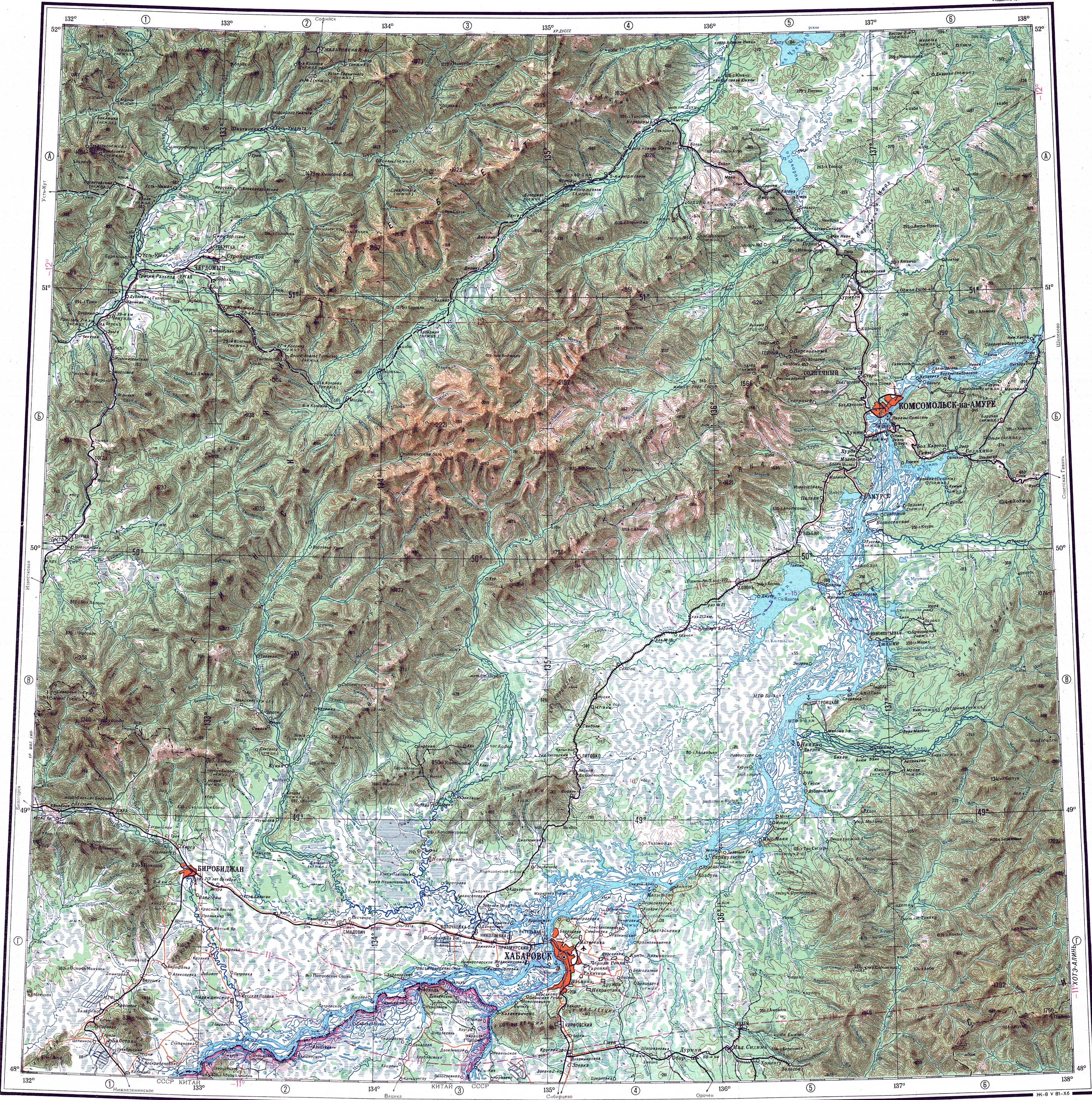
Il fiume ha origine dalle pendici occidentali dei monti Sichotė-Alin' e scorre in direzione prevalentemente occidentale. La lunghezza del fiume è di 349 km, l'area del bacino è di 11 800 km². La maggior parte del bacino fluviale si trova nella parte nord-occidentale della catena montuosa. Nel corso inferiore del fiume, il fiume esce dalla zona montana e fino alla foce scorre per 100 km all'interno della pianura dell'Amur centrale, che è in gran parte paludosa. Sfocia in un canale laterale dell'Amur presso la località di Ust'-Gur, 4 km a sud del villaggio di Voznesenskoye.[2]

Lungo il corso del fiume ci sono i villaggi di Kenaj, Uktur, Snežnyj e l'insediamento di Gurskoe. I principali affluenti sono: Uktur (86 km di lunghezza) (da destra), Džaur (88 km), Choso (74 km), Čermal (87 km) (da sinistra). Lungo il fiume, c'è un tratto della linea della Ferrovia dell'Estremo Oriente (Дальневосточная железная дорога).[2]
Fauna
Il salmone dell'Atlantico, salmone keta e salmone rosa entrano nel fiume per la deposizione delle uova. In estate, il corso inferiore del Gur si popola di coregoni, Rutilus rutilus lacustris, scardole, carpe e pesci gatto.[2]
Note
Altri progetti
 Wikimedia Commons contiene immagini o altri file su Gur
Collegamenti esterni
- Mappa M-53 (JPG), su maps.vlasenko.net. URL consultato il 15 febbraio 2021.
На других языках
[de] Gur (Amur)
Der Gur (russisch Гур) ist ein rechter Nebenfluss des Amur in der Region Chabarowsk im Fernen Osten Russlands.[en] Gur (river)
The Gur (Russian: Гур) is a river in Khabarovsk Krai, Russia. It is the 9th longest tributary of the Amur, with a length of 349 kilometres (217 mi)[1] and a drainage basin area of 11,800 square kilometres (4,600 sq mi).[2][1] The river was known as "Khungari" (Хунгари) until the 1972 Renaming of geographical sites in the Russian Far East.[3] The town of Gurskoe, as well as the villages of Kenai, Uktur and Snezhny are located by the river. Gold mining is being developed in the river basin.[1]- [it] Gur (fiume)
[ru] Гур (приток Амура)
Гур (до 1973 года — Хунгари)[2] — река в Хабаровском крае России, правый приток Амура.Другой контент может иметь иную лицензию. Перед использованием материалов сайта WikiSort.org внимательно изучите правила лицензирования конкретных элементов наполнения сайта.
WikiSort.org - проект по пересортировке и дополнению контента Википедии