geo.wikisort.org - Fiume
Il Baryš (in russo: Барыш?) è un fiume della Russia europea centrale (oblast' di Ul'janovsk), affluente di destra della Sura (bacino idrografico del Volga).
| Baryš - Барыш | |
|---|---|
 | |
| Stato | |
| Soggetti federali | |
| Lunghezza | 247 km |
| Bacino idrografico | 5 800 km² |
| Nasce | Alture del Volga 53°24′11″N 46°49′07″E |
| Sfocia | fiume Sura 54°35′39″N 46°48′01″E |
 | |
Il fiume scorre lungo le alture del Volga in direzione generalmente settentrionale o nord-occidentale. Nell'altro corso tocca l'omonima città di Baryš. Sfocia nel fiume Sura a 320 km dalla foce. Ha una lunghezza di 247 km, l'area del suo bacino è di 5 800 km².[1] Gela da novembre ad aprile.
Note
- (RU) Река Барыш, su textual.ru. URL consultato il 22 novembre 2021.
Collegamenti esterni
- (RU) Grande enciclopedia sovietica, su bse.sci-lib.com.
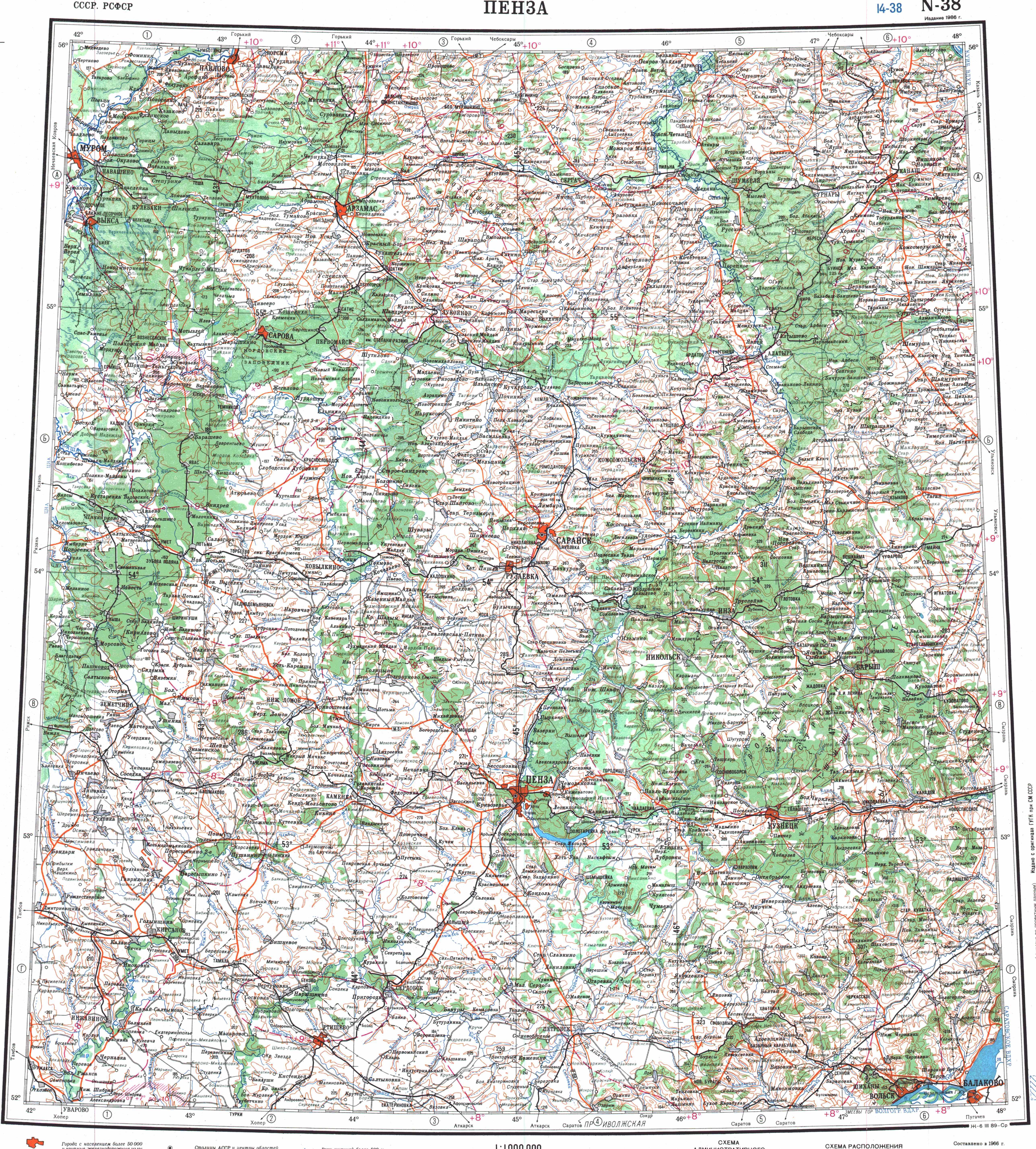
- Mappa: N-38 (JPG), su maps.vlasenko.net. URL consultato il 18 novembre 2021.
На других языках
[de] Barysch (Sura)
Der Barysch (russisch Бары́ш) ist ein rechter Nebenfluss der Sura in der russischen Oblast Uljanowsk.[en] Barysh (river)
The Barysh (Russian: Бары́ш) is a river in Ulyanovsk Oblast, Russia. It is a right tributary of the Sura (in Volga's drainage basin). It is 247 kilometres (153 mi) long, and has a drainage basin of 5,800 square kilometres (2,200 sq mi).[1] The river flows over the northern parts of the Volga Upland. It is frozen over from November to April. The town of Barysh is situated by the river.- [it] Baryš (fiume)
[ru] Барыш (река)
Бары́ш — река в Ульяновской области России, правый приток Суры (бассейн Волги).Текст в блоке "Читать" взят с сайта "Википедия" и доступен по лицензии Creative Commons Attribution-ShareAlike; в отдельных случаях могут действовать дополнительные условия.
Другой контент может иметь иную лицензию. Перед использованием материалов сайта WikiSort.org внимательно изучите правила лицензирования конкретных элементов наполнения сайта.
Другой контент может иметь иную лицензию. Перед использованием материалов сайта WikiSort.org внимательно изучите правила лицензирования конкретных элементов наполнения сайта.
2019-2026
WikiSort.org - проект по пересортировке и дополнению контента Википедии
WikiSort.org - проект по пересортировке и дополнению контента Википедии