geo.wikisort.org - River
The Yellow Medicine River is a tributary of the Minnesota River, 107 miles (173 km) long, in southwestern Minnesota in the United States. Via the Minnesota River, it is part of the watershed of the Mississippi River, draining an area of 665 square miles (1,722 km²) in an agricultural region.
| Yellow Medicine River | |
|---|---|
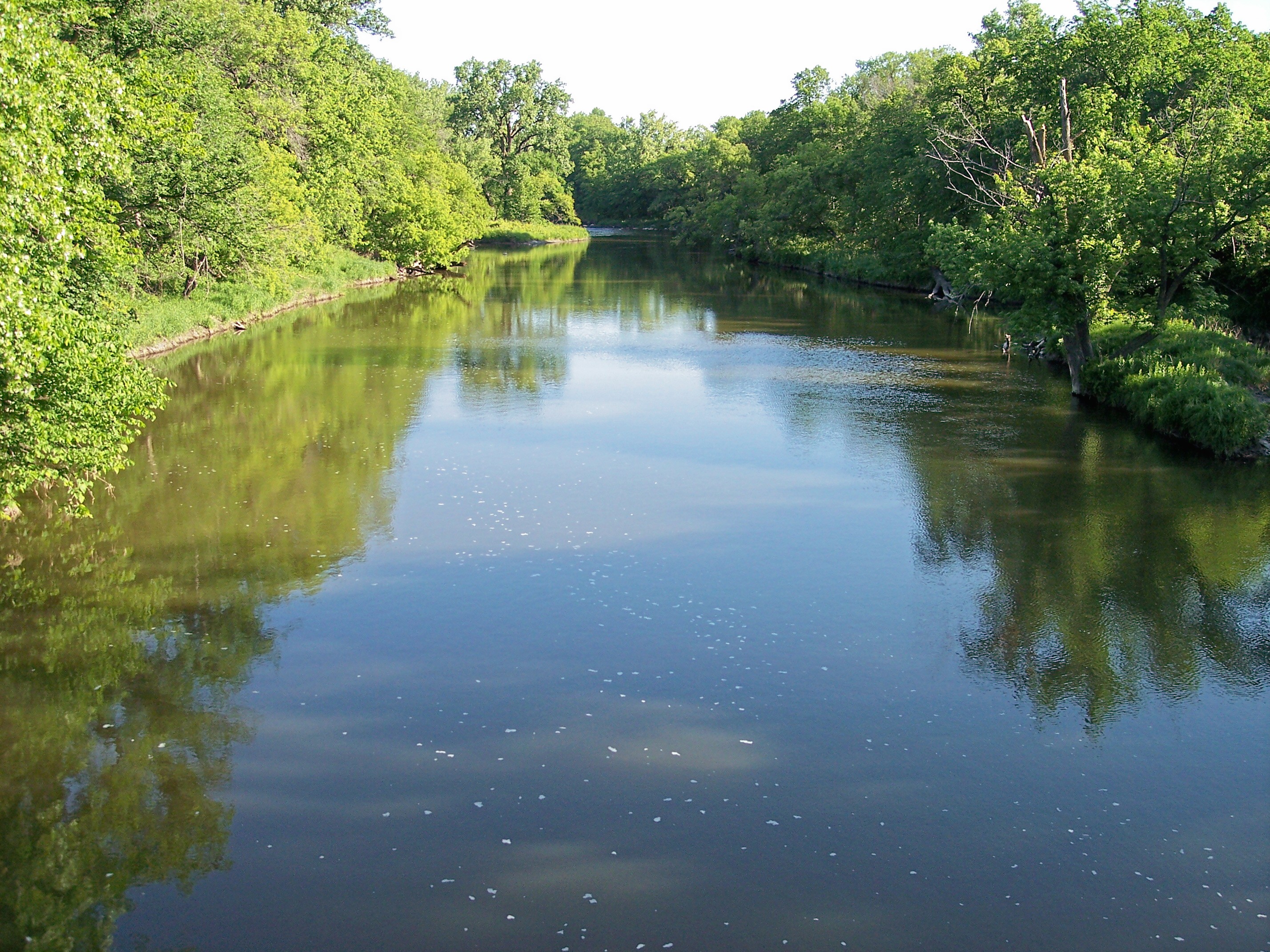 The Yellow Medicine River in Minnesota Falls Township in 2007 | |
 | |
| Location | |
| Country | United States |
| State | Minnesota |
| Physical characteristics | |
| Source | Lake Shaokatan |
| • location | Shaokatan Township, Lincoln County |
| • coordinates | 44°24′41″N 96°21′05″W[1] |
| • elevation | 1,776 ft (541 m)[2] |
| Mouth | Minnesota River |
• location | Upper Sioux Agency State Park, Yellow Medicine County |
• coordinates | 44°44′21″N 95°25′43″W[1] |
• elevation | 869 ft (265 m)[2] |
| Length | 107.2 mi (172.5 km)[3] |
| Basin size | 665 sq mi (1,720 km2)[4] |
| Discharge | |
| • location | near Granite Falls[5] |
| • average | 142 cu ft/s (4.0 m3/s)[5] |
| • minimum | 0 cu ft/s (0 m3/s) |
| • maximum | 17,200 cu ft/s (490 m3/s) |
| Basin features | |
| Tributaries | |
| • left | North Branch Yellow Medicine River, Spring Creek |
| • right | South Branch Yellow Medicine River |

The Yellow Medicine River issues from Lake Shaokatan in Shaokatan Township in western Lincoln County, approximately six miles (10 km) southwest of Ivanhoe, on the Coteau des Prairies, a morainic plateau dividing the Mississippi and Missouri River watersheds. It flows initially northeastwardly as an intermittent stream, past Ivanhoe. The stream flows off the Coteau in northeastern Lincoln County, dropping 250 feet (75 m) in five miles (8 km), and turns east-northeastwardly, following a generally treeless course on till plains through northern Lyon County and eastern Yellow Medicine County, past Hanley Falls. It flows into the Minnesota River in Upper Sioux Agency State Park in Sioux Agency Township, approximately eight miles (13 km) southeast of Granite Falls, after dropping 85 feet (30 m) in its final ten miles (15 km) in the Minnesota River valley.[4][6][7]
The Yellow Medicine River's largest tributaries are the North Branch Yellow Medicine River[8] and the South Branch Yellow Medicine River,[9] both of which flow for most of their lengths on the Coteau. The North Branch, 41 miles (66 km) long, flows northeastwardly through northern Lincoln County, briefly entering Yellow Medicine County and passing through Porter. The South Branch, 62 miles (99 km) long, flows northeastwardly through Lincoln County into northwestern Lyon County, past Minneota. Other tributaries of the Yellow Medicine include Spring Creek, 46 miles (74 km) long, which flows eastwardly through Yellow Medicine County; and Mud Creek, 31 miles (50 km) long, which flows eastwardly through western Yellow Medicine County into northwestern Lyon County.[3][6]
The Minnesota Pollution Control Agency statistically combines the watershed of the Yellow Medicine River with that of Hawk Creek on the opposite bank of the Minnesota River, as well as small watersheds of nearby Minnesota River tributaries. According to the agency, 81% of the land in the Yellow Medicine-Hawk Creek watersheds is used for agriculture, with corn and soybeans being the predominant crops.[7] In May of 2008 19 year-old Brandon Swanson went missing from Porter, Minnesota. Believing that he was near the town of Lynd. It was and still is highly theorized that Brandon may have slipped and fallen into the Yellow medicine river. However, nothing was found when the river was searched for over 30 days.
Flow rate
At the United States Geological Survey's stream gauge near Granite Falls, 6 miles (10 km) upstream from the river's mouth, the annual mean flow of the river between 1931 and 2005 was 142 cubic feet per second (4 m³/s). The highest recorded flow during the period was 17,200 ft³/s (487 m³/s) on April 10, 1969. Readings of zero were recorded on numerous days during several years.[5]
See also
- List of rivers in Minnesota
References
- "Geographic Names Information System entry for Yellow Medicine River (Feature ID #654416)". Geographic Names Information System. Retrieved 2007-06-04.
- Google Earth elevation for GNIS coordinates. Retrieved on 2007-06-04.
- "Hawk Creek-Yellow Medicine River Major Watershed". Minnesota River Basin Data Center. Minnesota State University, Mankato. 2000-06-06. pp. Streams within the Hawk Creek-Yellow Medicine River Major Watershed. Retrieved 2007-06-04.
- Waters, Thomas F. (2006). "The Southwest: Rivers of the Coteau des Prairies". The Streams and Rivers of Minnesota. Minneapolis: University of Minnesota Press. pp. 288–303. ISBN 0-8166-0960-8.
- Mitton, G. B.; K. G. Guttormson; G. W. Stratton; E. S. Wakeman. "Water Resources Data in Minnesota, Water Year 2005 Annual Report". United States Geological Survey. pp. Yellow Medicine River near Granite Falls, MN. Retrieved 2007-06-04.
- Minnesota Atlas & Gazetteer. Yarmouth, Me.: DeLorme. 1994. pp. 28–29. ISBN 0-89933-222-6.
- "Watersheds of the Minnesota River Basin". Minnesota Pollution Control Agency. 2005-12-01. pp. Minnesota River Basin: Hawk Creek-Yellow Medicine Watershed. Retrieved 2007-06-04.
- "Geographic Names Information System entry for North Branch Yellow Medicine River (Feature ID #648621)". Geographic Names Information System. Retrieved 2007-06-04.
- "Geographic Names Information System entry for South Branch Yellow Medicine River (Feature ID #652281)". Geographic Names Information System. Retrieved 2007-06-04.
Authority control | |
|---|---|
| General |
|
| National libraries | |
На других языках
[de] Yellow Medicine River
Der Yellow Medicine River ist ein 173 km langer Zufluss des Minnesota Rivers im Südwesten von Minnesota in den Vereinigten Staaten.[1] Über den Minnesota River ist er ein Teil des Einzugsgebiets des Mississippi Rivers und entwässert ein Gebiet von 1722 km² in einer landwirtschaftlich geprägten Region. Der Name ist eine Übersetzung eines Ausdruckes aus der Dakota-Sprache für den Fluss, "pajutazee", womit die gelbliche Wurzel der Mondsamengewächse gemeint ist, die als Kletterpflanzen entlang des Flusses wachsen.[2]- [en] Yellow Medicine River
Другой контент может иметь иную лицензию. Перед использованием материалов сайта WikiSort.org внимательно изучите правила лицензирования конкретных элементов наполнения сайта.
WikiSort.org - проект по пересортировке и дополнению контента Википедии