geo.wikisort.org - River
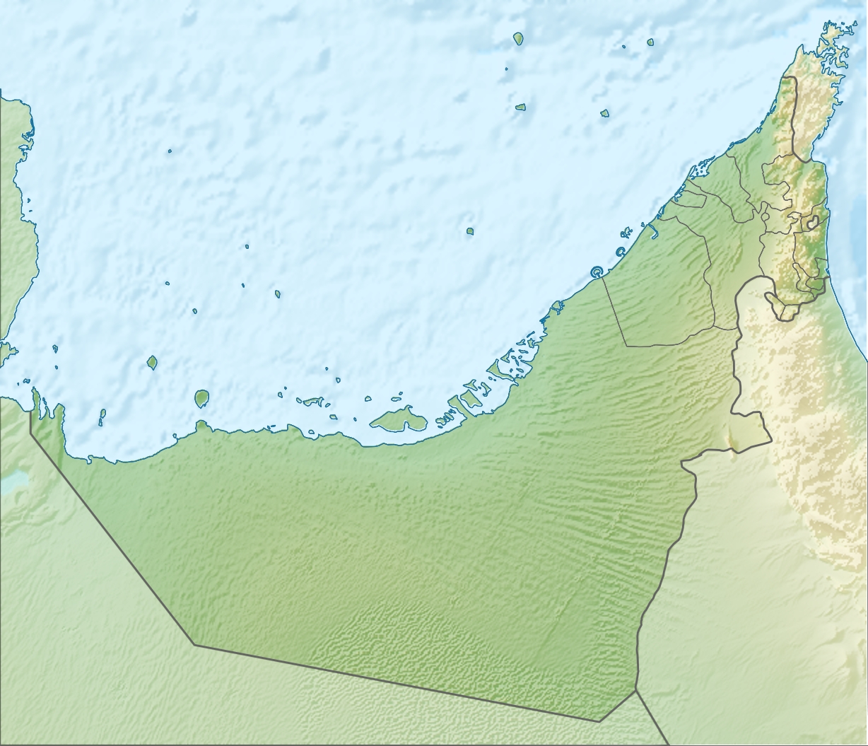
Wadi Sal is a seasonal watercourse, or wadi, in the Hajar Mountains of Ras Al Khaimah, in the United Arab Emirates (UAE).
| Wadi Sal | |
|---|---|
 | |
 | |
| Physical characteristics | |
| Mouth | |
• coordinates | 25°46′51.7″N 56°03′52.6″E |
The wadi runs east to west, running down from the mountain village of Sal to join with the Wadi Bih at Burairat. It is a fertile agricultural area, long associated with the Habus tribe of Ras Al Khaimah. The wadi is accessed today from the Jebel Jais road.[1]
It is a popular hiking and offroading destination.[2] The steep climb out of the wadi leads up to the Habus village of Sal.[3]
See also
References
- "Fancy a ride into the wadis?". gulfnews.com. Retrieved 2020-11-21.
- Publishing, Explorer. "Route to Sal". www.askexplorer.com. Retrieved 2020-11-21.
- Lancaster, William, 1938- (2011). Honour is in contentment : life before oil in Ras al-Khaimah (UAE) and some neighbouring regions. Lancaster, Fidelity. Berlin: De Gruyter. p. 107. ISBN 978-3-11-022340-8. OCLC 763160662.
{{cite book}}: CS1 maint: multiple names: authors list (link)
Текст в блоке "Читать" взят с сайта "Википедия" и доступен по лицензии Creative Commons Attribution-ShareAlike; в отдельных случаях могут действовать дополнительные условия.
Другой контент может иметь иную лицензию. Перед использованием материалов сайта WikiSort.org внимательно изучите правила лицензирования конкретных элементов наполнения сайта.
Другой контент может иметь иную лицензию. Перед использованием материалов сайта WikiSort.org внимательно изучите правила лицензирования конкретных элементов наполнения сайта.
2019-2026
WikiSort.org - проект по пересортировке и дополнению контента Википедии
WikiSort.org - проект по пересортировке и дополнению контента Википедии