geo.wikisort.org - River
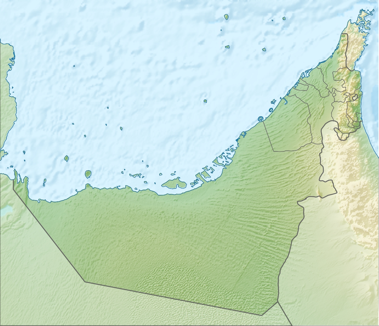
Wadi Fara is a seasonal watercourse, or wadi, in Ras Al Khaimah, United Arab Emirates. It runs from the village of Ghayl to the confluence of the Wadi Asimah and Wadi Sidr.
| Wadi Fara | |
|---|---|
 | |
 | |
| Physical characteristics | |
| Mouth | |
• coordinates | 25°24′26.5″N 56°03′53.7″E |
A wide and fertile wadi, its rich wildlife includes a novel species of diving beetle, Hydroglyphus sinuspersicus, which was first discovered and documented by a joint Czech/Austrian team working in the Wadi Fara in 2009.[1]
The wadi is traditionally settled by members of the Mazari tribe and has a number of historic watchtowers, old villages and farms. A survey of the area carried out in 1955 found 25 households and some 1,200 date palms in the wadi.[2]
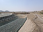 The Al Daoudi dam in the Wadi Fara
 The confluence of the Wadi Fara with Wadi Asimah (right) and Wadi Sidr (left)
 The Wadi Fara emerging at Ghayl, Ras Al Khaimah


See also
References
- Hájek, Jirí; Wewalka, Günther (2009). "New and little known species of Hydroglyphus (Coleoptera: Dytiscidae) from Arabia and adjacent areas" (PDF). Acta Entomologica Musei Nationalis Pragae. 49 (1): 93–102.
- Lancaster, William; Lancaster, Fidelity (2011). Honour is in Contentment: Life before oil in Ras al-Khaimah (UAE) and some neighbouring regions. Studien zur Geschichte und Kultur des islamischen Orients. Vol. 25. De Gruyter. p. 532. ISBN 978-3-11-022340-8. OCLC 763160662.
Текст в блоке "Читать" взят с сайта "Википедия" и доступен по лицензии Creative Commons Attribution-ShareAlike; в отдельных случаях могут действовать дополнительные условия.
Другой контент может иметь иную лицензию. Перед использованием материалов сайта WikiSort.org внимательно изучите правила лицензирования конкретных элементов наполнения сайта.
Другой контент может иметь иную лицензию. Перед использованием материалов сайта WikiSort.org внимательно изучите правила лицензирования конкретных элементов наполнения сайта.
2019-2026
WikiSort.org - проект по пересортировке и дополнению контента Википедии
WikiSort.org - проект по пересортировке и дополнению контента Википедии