geo.wikisort.org - River
The Tsauchab is an ephemeral river in the Hardap Region of central Namibia. Its source is in the southern Naukluft Mountains, from where it flows westwards through the Namib-Naukluft National Park into Sossusvlei, an endorheic basin. The lower river has in the past had a slightly different courses and also formed two other basins, the Deadvlei and the Hiddenvlei.
| Tsauchab River | |
|---|---|
 The lower 45 kilometers of the Tsauchab River, taken from ISS | |
| Physical characteristics | |
| Source | Naukluft Mountains |
| • location | Hardap Region, Namibia |
| Mouth | Sossusvlei |
• location | Namib |
• coordinates | 24°44′S 15°22′E |
| Length | c.150 km (93 mi) |
| Basin size | 4,000 km2 (1,500 sq mi) |
| Basin features | |
| Tributaries | |
| • left | Zebra River |
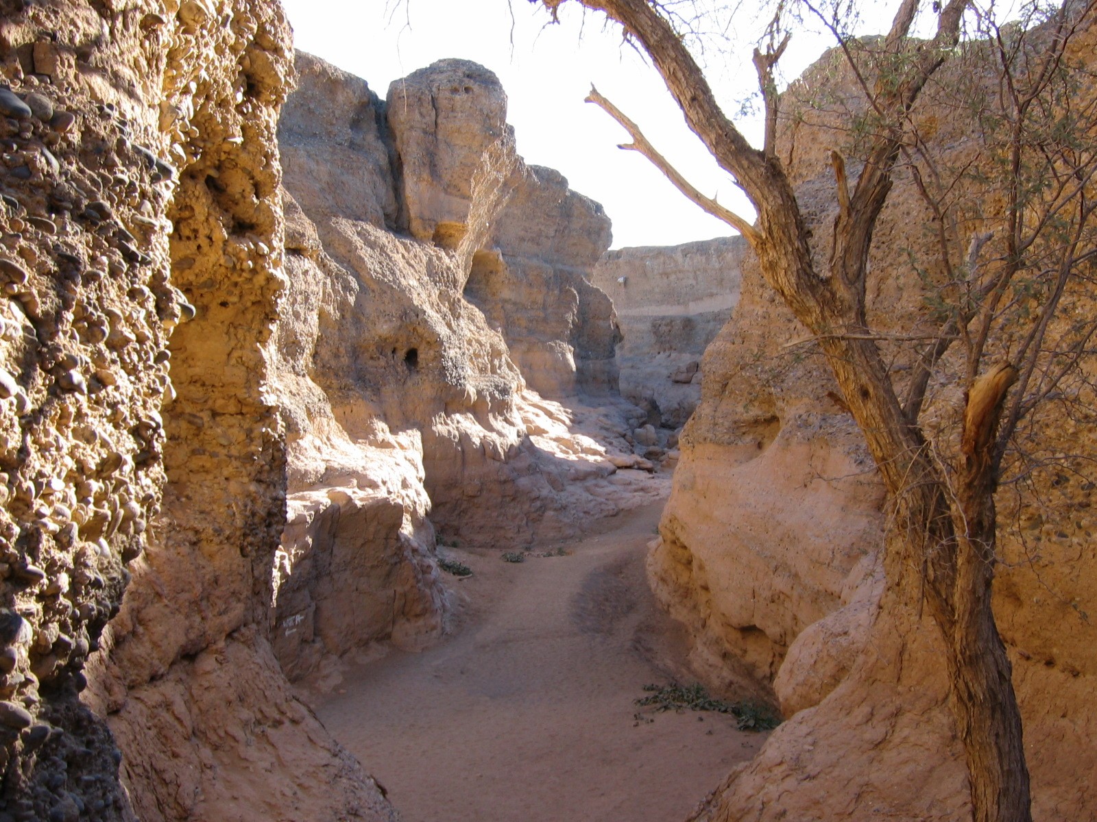

The Tsauchab is approximately 150 km (93 mi) long, its catchment area (including its tributary, the Zebra River) is estimated to be between 4,000[1] and 4,431 km2 (1,711 sq mi).[2] Since it is in the Namib Desert, the Tsauchab carries water only during the rare times when rain falls in the Naukluft Mountains and runs off, since it cannot seep into the soil fast enough (see flash flood). During these rains, the Tsauchab becomes a rapid-running, strong river within a matter of hours. As a result of the occasional rains, it has over the past two million years carved the Sesriem Canyon, a 1 km (0.62 mi) long and up to 30 m (98 ft) deep canyon in sedimentary rock. Past the canyon, the Tsauchab flattens and grows broader, and is surrounded by a riparian forest as it slopes towards the Sossusvlei salt pan. In the Sossusvlei area, the riparian forest consists of both the living trees including Maerua crassifolia and the remaining skeletons of dead trees.[3]
Sossusvlei, Sesriem Canyon and the high sand dunes between the two are some of Namibia's major tourist attractions.
External links
References
- Jacobson, Peter J.; Jacobson, Kathryn M.; Seely, Mary K. (1995). Ephemeral rivers and their catchments: Sustaining people and development in western Namibia (PDF 8.7MB). Windhoek: Desert Research Foundation of Namibia. pp. 132–133. ISBN 9991670947.
- Strohbach, B.J. (2008). "Mapping the Major Catchments of Namibia" (PDF 1.0MB). Agricola. 2008: 63–73. ISSN 1015-2334. OCLC 940637734.
- "The photographs of the Tsauchab river which were made at the following geo coordinates: 24°38'42.6"S 15°39'06.9"E". Independent Travellers. independent-travellers.com. Retrieved January 9, 2018.
На других языках
[de] Tsauchab
Der Tsauchab, ein ephemerer Fluss im Westen Namibias, hat seinen Ursprung an der Südseite der Naukluftberge. Von dort verläuft er nach Westen, wo er nach 80 Kilometern durch den Sesriem-Canyon fließt und schließlich nach insgesamt 150 Kilometern im Sossusvlei im Sandmeer der Namib versickert, ohne heutzutage oberirdisch den Atlantik (in ca. 52 km Luftlinie Entfernung gelegen) zu erreichen.- [en] Tsauchab
[it] Tsauchab
Lo Tsauchab è un fiume della Namibia, situato nel deserto del Namib, presso la parte meridionale della catena dei Monti Naukluft. È asciutto quasi tutto l'anno; il suo corso, lungo circa 100 km, si riempie d'acqua solo in occasione di piogge particolarmente intense, e in queste occasioni può trasformarsi in poche ore in un corso d'acqua estremamente potente e rapido.Другой контент может иметь иную лицензию. Перед использованием материалов сайта WikiSort.org внимательно изучите правила лицензирования конкретных элементов наполнения сайта.
WikiSort.org - проект по пересортировке и дополнению контента Википедии