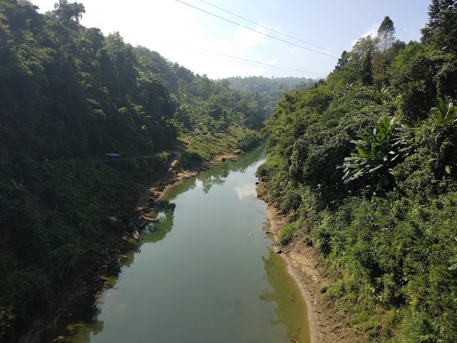
geo.wikisort.org - River
The Tlawng is a river of Mizoram, northeastern India.[1] Its tributaries include the Tut, Teirei and the Ngashih. The city of Aizawl lies in the Tlawng valley.
| Tlawng River | |
|---|---|
 | |
| Location | |
| Country | India |
| State | Mizoram, Assam |
| Cities | Aizawl, Lunglei |
| Physical characteristics | |
| Source | |
| • elevation | 1,398 m (4,587 ft) |
| Mouth | |
• location | Zopui Hill |
| Length | 185.5 km (115.3 mi) |
| Basin features | |
| Tributaries | |
| • left | Tut |
| • right | Teirei |
In 2012, a dam (Tlawng Dam) was proposed for the river.
History
In 1890, when the British came to Mizoram, Tlawng river was the main means of transportation from Silchar. Sairang on the river banks of Tlawng is the nearest town from Aizawl which is about 14 kilometers. The journey of about 140 Kilometers from Sairang to Silchar used to take about 15–30 days depending upon the season and water level on a flat water boat.[2]
Geography
The Tlawng River is one of the longest rivers in Mizoram, measuring 234 km in length (Distance) or 185.50 km net displacement (a straight line) (as of 23.9.2015) Between Zobawk village near Lunglei Town to Bairabi (Mizoram Border) It originates in Zopui Hill (Near Zobawk) some 8 kilometres (5 mi) east of Lunglei at an elevation of 1,395 metres (4,577 ft). After the confluence with Tut and Teirei River it eventually enters Cachar District. It is navigable by small boat up to Sairang.[3]

References
- Pachuau, Rintluanga (1 January 2009). Mizoram: A Study in Comprehensive Geography. Northern Book Centre. p. 35. ISBN 978-81-7211-264-6. Retrieved 8 August 2012.
- Pachuau, Joy. The Camera as a Witness. Cambridge. pp. 149–150. ISBN 9781107073395.
- Pachuau, Rintluanga (2009). Mizoram: A Study in Comprehensive Geography. Northern Book Center. pp. Page 38.
Другой контент может иметь иную лицензию. Перед использованием материалов сайта WikiSort.org внимательно изучите правила лицензирования конкретных элементов наполнения сайта.
WikiSort.org - проект по пересортировке и дополнению контента Википедии