geo.wikisort.org - River
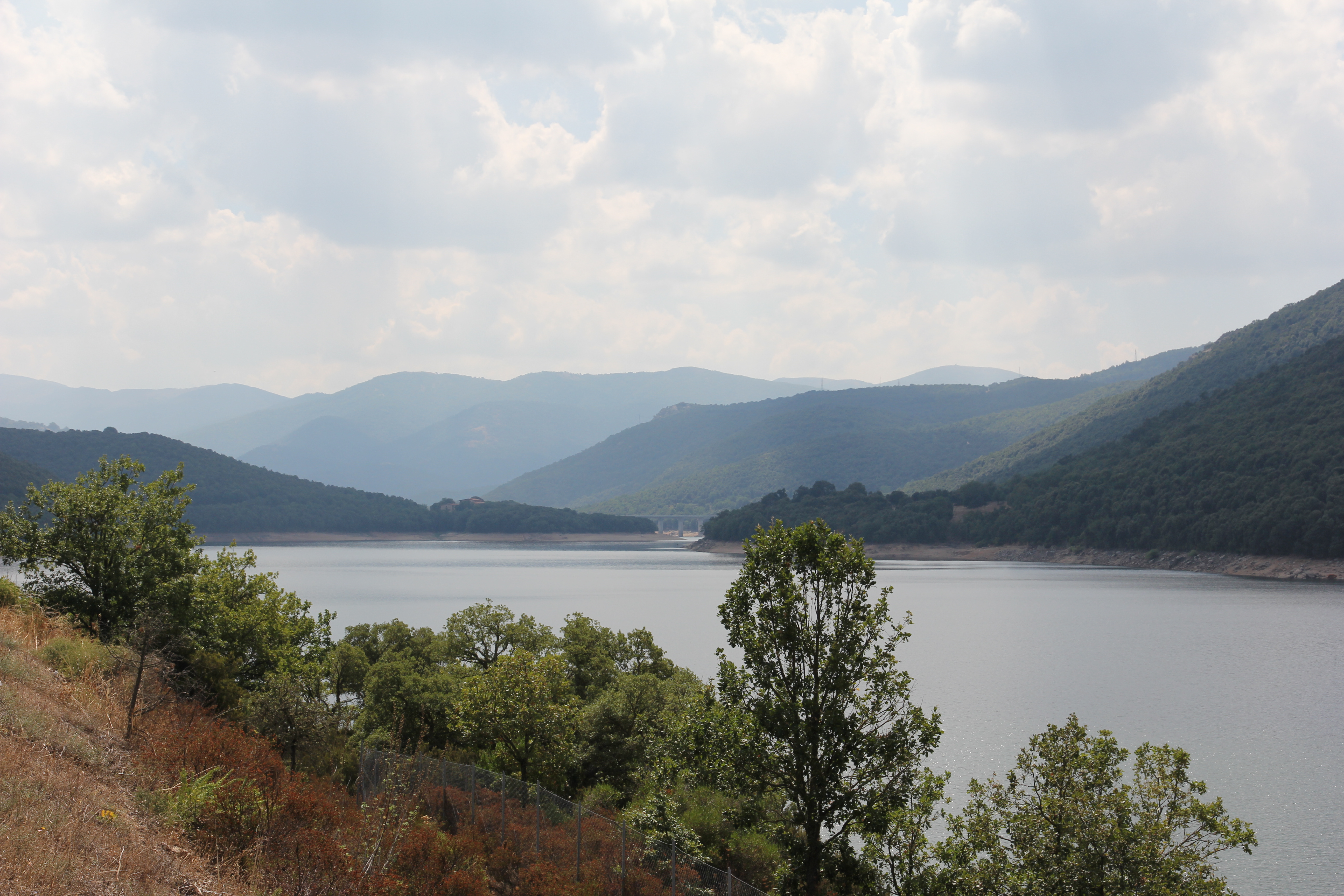
The Tirso (Sardinian: Tirsu, Latin Thyrsus) is a 152-kilometre (94 mi) river, the most important of the island of Sardinia (Italy). It rises from the plateau of Buddusò, on the slopes of the Punta Pianedda at an elevation of 985 metres (3,232 ft) and crosses the island from east to west, passing through Lake Omodeo and entering the sea in the Gulf of Oristano.
| Authority control |
|
|---|
| Tirso Tirsu | |
|---|---|
 | |
| Location | |
| Country | Italy |
| Physical characteristics | |
| Source | |
| • location | Punta Pianedda (Buddusò) plateau |
| • elevation | 985 m (3,232 ft) |
| Mouth | Mediterranean Sea |
• location | Gulf of Oristano |
• coordinates | 39.885°N 8.54056°E |
• elevation | 0 m (0 ft) |
| Length | 152 km (94 mi) |
| Basin size | 3,375 km2 (1,303 sq mi) |
| Discharge | |
| • average | 4.28 m3/s (151 cu ft/s) |
This Sardinia location article is a stub. You can help Wikipedia by expanding it. |
На других языках
[de] Tirso
Der Tirso ist der längste Fluss Sardiniens.- [en] Tirso (river)
[es] Río Tirso
El Tirso es el río más importante de Cerdeña por longitud y superficie de la cuenca. Nace en el altiplano de Buddusò, en la pendiente de Punta Pianedda, sobre 985 msnm. Atraviesa la isla de este a oeste, desembocando en el Golfo de Oristán tras recorrer 152 km. En su curso se encuentra con las provincias de Sácer, Nuoro y Oristán.[it] Tirso (fiume)
Il Tirso (Tirsu in sardo) è il fiume più importante della Sardegna per lunghezza e ampiezza di bacino idrografico.[ru] Тирсо
Тирсо (итал. Tirso) — река в Италии, на острове Сардиния.Текст в блоке "Читать" взят с сайта "Википедия" и доступен по лицензии Creative Commons Attribution-ShareAlike; в отдельных случаях могут действовать дополнительные условия.
Другой контент может иметь иную лицензию. Перед использованием материалов сайта WikiSort.org внимательно изучите правила лицензирования конкретных элементов наполнения сайта.
Другой контент может иметь иную лицензию. Перед использованием материалов сайта WikiSort.org внимательно изучите правила лицензирования конкретных элементов наполнения сайта.
2019-2026
WikiSort.org - проект по пересортировке и дополнению контента Википедии
WikiSort.org - проект по пересортировке и дополнению контента Википедии