geo.wikisort.org - River
Tipalt Burn is a burn which lies to the east of Greenhead, Northumberland. The burn passes several historical sites such as Thirlwall Castle and discharges into the River South Tyne near the village of Haltwhistle.[1] The burn is about 10 miles (16 km) in length and is located close to the north end of the Pennine Way.
| Tipalt Burn | |
|---|---|
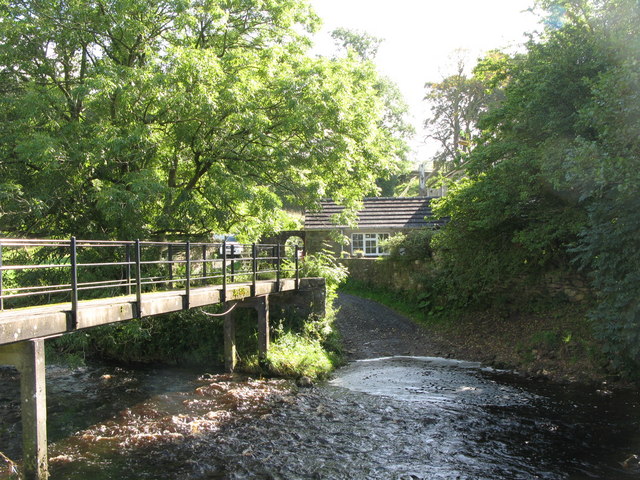 Ford over the Tipalt Burn | |
 Location within Northumberland | |
| Location | |
| Country | United Kingdom |
| County | Northumberland |
| Physical characteristics | |
| Source | |
| • coordinates | 55.046634°N 2.440370°W |
| Mouth | |
• coordinates | 54.9623611°N 2.4723889°W |
| Discharge | |
| • location | Haltwhistle |
See also
References
External links
 Media related to Tipalt Burn at Wikimedia Commons
На других языках
[de] Tipal Burn
Der Tipal Burn (auch Tipalt Burn genannt) ist ein Wasserlauf in Northumberland, England. Er entsteht aus dem Zusammenfluss von Buckbog Sike, Sweet Sike und einem unbenannten Zufluss. Er fließt zunächst in westlicher Richtung. Nördlich des Thirlwall Castle wendet er sich in südlicher Richtung und durchquert den Hadrianswall. Er wendet sich dann in südöstlicher Richtung und mündet am westlichen Rand von Haltwhistle in den South Tyne.- [en] Tipalt Burn
Текст в блоке "Читать" взят с сайта "Википедия" и доступен по лицензии Creative Commons Attribution-ShareAlike; в отдельных случаях могут действовать дополнительные условия.
Другой контент может иметь иную лицензию. Перед использованием материалов сайта WikiSort.org внимательно изучите правила лицензирования конкретных элементов наполнения сайта.
Другой контент может иметь иную лицензию. Перед использованием материалов сайта WikiSort.org внимательно изучите правила лицензирования конкретных элементов наполнения сайта.
2019-2026
WikiSort.org - проект по пересортировке и дополнению контента Википедии
WikiSort.org - проект по пересортировке и дополнению контента Википедии