geo.wikisort.org - River
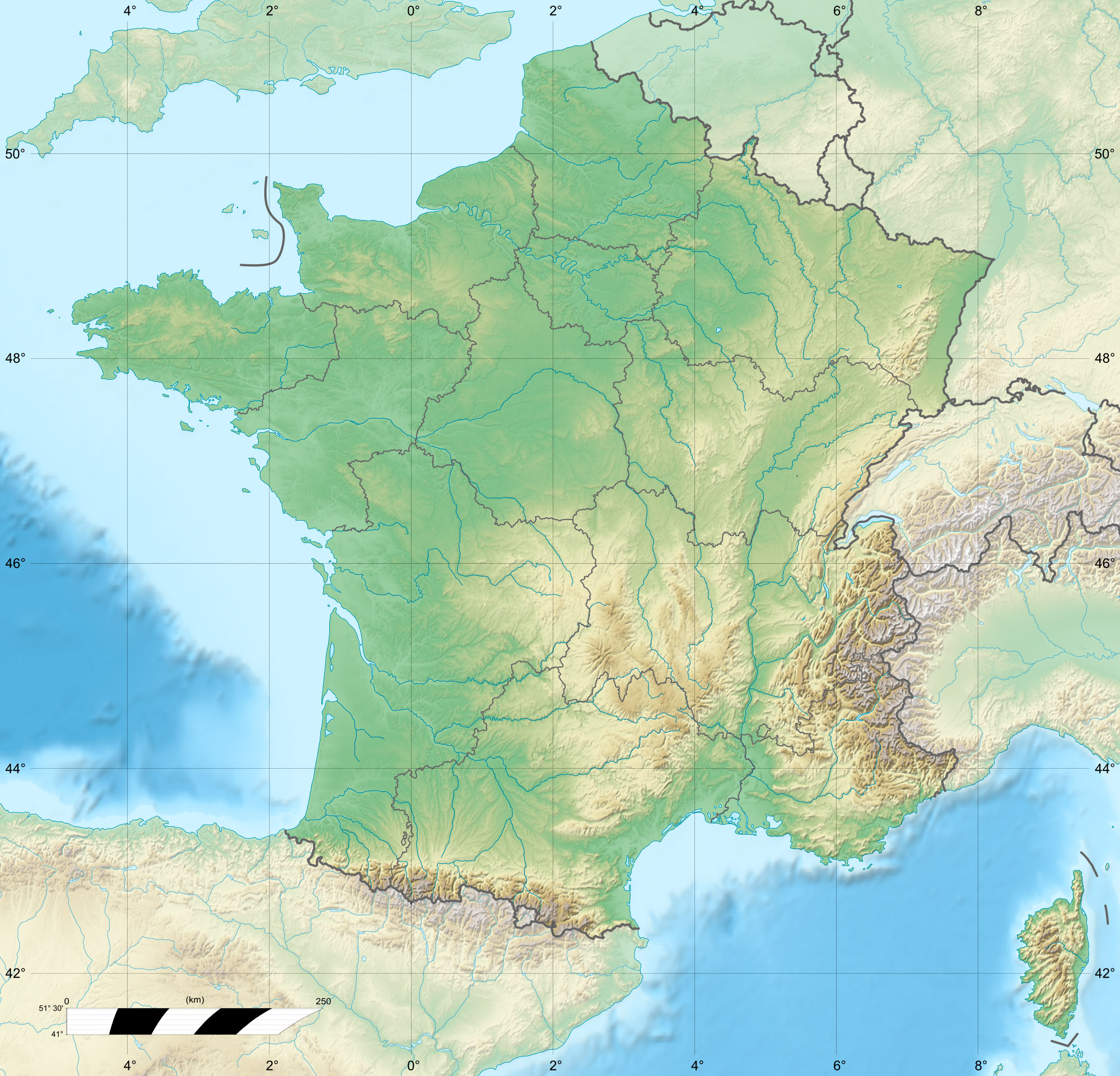
The Thur is a river in the Haut-Rhin department, Alsace, France, left tributary of the river Ill. It rises in the Vosges Mountains, and flows through the towns Thann and Cernay. It flows into the Ill (a tributary of the Rhine) near Ensisheim, north of Mulhouse. It is 53 km (33 mi) long.[1]
| Thur | |
|---|---|
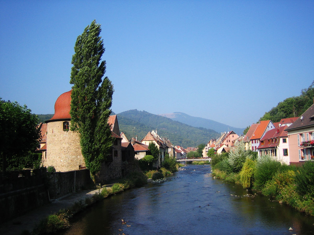 The Thur in Thann | |
   | |
| Location | |
| Country | France |
| Department | Haut-Rhin |
| Physical characteristics | |
| Source | |
| • location | Vosges mountains |
| • elevation | ±950 m (3,120 ft) |
| Mouth | |
• location | river Ill |
• coordinates | 47°52′32″N 7°20′34″E |
| Length | 53 km (33 mi) |
| Basin size | 262 km2 (101 sq mi) |
| Discharge | |
| • average | 5.5 m3/s (190 cu ft/s) |
| Basin features | |
| Progression | Ill→ Rhine→ North Sea |
References
Authority control | |
|---|---|
| General |
|
| Other |
|

 | This Haut-Rhin geographical article is a stub. You can help Wikipedia by expanding it. |
На других языках
[de] Thur (Ill)
Die Thur ist ein gut 53 km langer linker Nebenfluss der Ill im Elsass (Region Grand Est).- [en] Thur (France)
[it] Thur (Francia)
La Thur è un fiume francese che scorre nel dipartimento dell’Alto Reno nella regione del Grande Est e che sfocia nell’Ill.Текст в блоке "Читать" взят с сайта "Википедия" и доступен по лицензии Creative Commons Attribution-ShareAlike; в отдельных случаях могут действовать дополнительные условия.
Другой контент может иметь иную лицензию. Перед использованием материалов сайта WikiSort.org внимательно изучите правила лицензирования конкретных элементов наполнения сайта.
Другой контент может иметь иную лицензию. Перед использованием материалов сайта WikiSort.org внимательно изучите правила лицензирования конкретных элементов наполнения сайта.
2019-2026
WikiSort.org - проект по пересортировке и дополнению контента Википедии
WikiSort.org - проект по пересортировке и дополнению контента Википедии