geo.wikisort.org - River
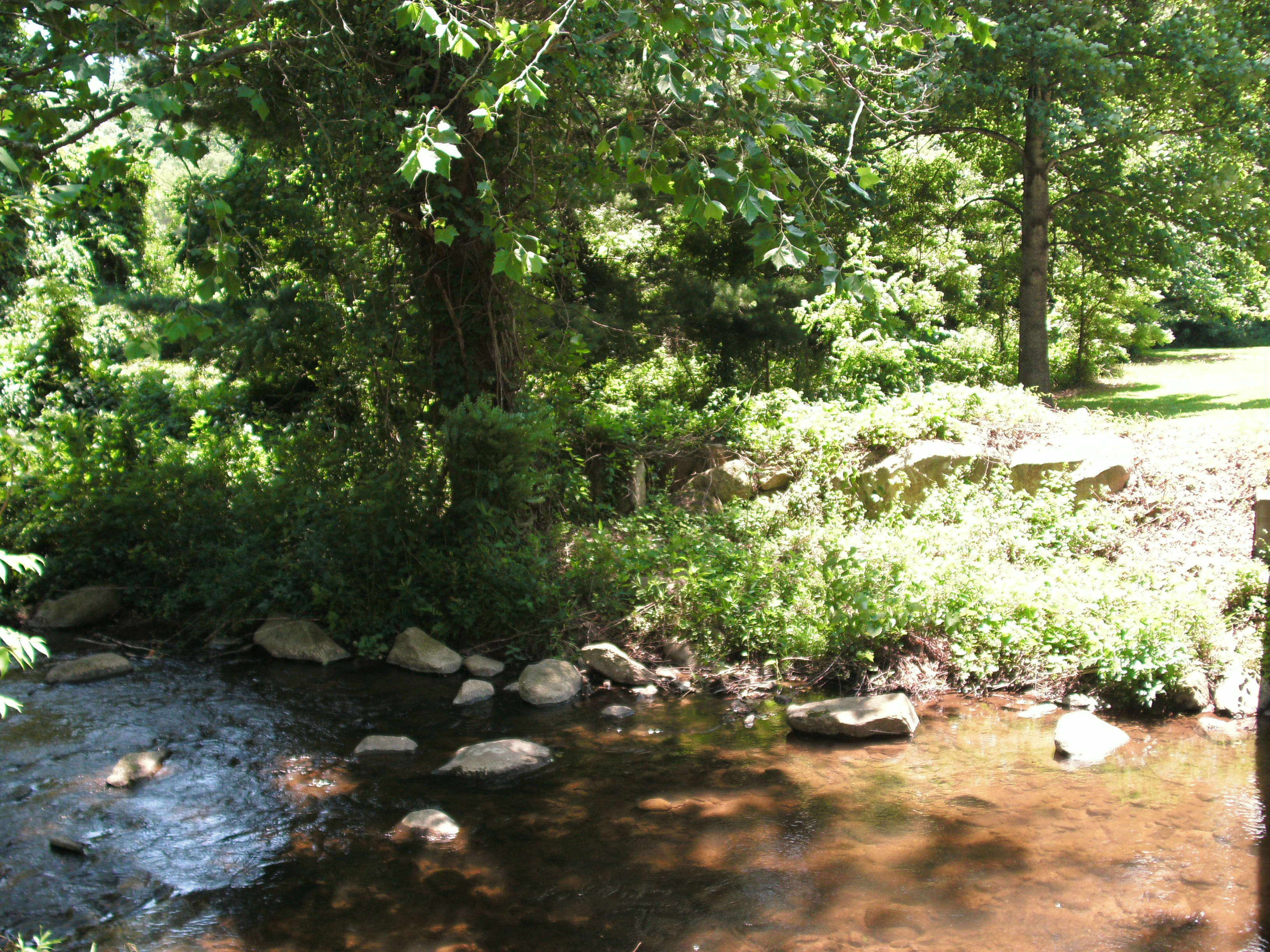
The Thornton River is a 27.9-mile-long (44.9 km)[1] river in the U.S. state of Virginia. It rises at Thornton Gap in Shenandoah National Park and flows east through Rappahannock County, running parallel to U.S. Route 211 until it reaches the town of Sperryville. Continuing east into Culpeper County, the Thornton River joins the Hazel River, a tributary of the Rappahannock River, and thus part of the Chesapeake Bay watershed.

Fletcher's Mill was a historic mill on the river, at 38.64722°N 78.20641°W at Fletcher Mill, Virginia.[2][3]
See also
- List of rivers in Virginia
References
- U.S. Geological Survey. National Hydrography Dataset high-resolution flowline data. The National Map, accessed April 1, 2011
- Fletchers Mill in Sperryville in an early 1980s photo and pic of Fletcher's Mill, circa 1870, Fletchers Mill, VA (photographed in 2018)
- Editor, American Miller (November 1, 1919). "A Trip Among Some Old Mills in Virginia". American Miller. p. 1034.
{{cite news}}:|author=has generic name (help) Chicago, IL, est. 1873. Available in a google book.
This Rappahannock County, Virginia state location article is a stub. You can help Wikipedia by expanding it. |
На других языках
[de] Thornton River (Virginia)
Der Thornton River ist ein 45 Kilometer langer linker Nebenfluss des Hazel Rivers im US-Bundesstaat Virginia.- [en] Thornton River
Текст в блоке "Читать" взят с сайта "Википедия" и доступен по лицензии Creative Commons Attribution-ShareAlike; в отдельных случаях могут действовать дополнительные условия.
Другой контент может иметь иную лицензию. Перед использованием материалов сайта WikiSort.org внимательно изучите правила лицензирования конкретных элементов наполнения сайта.
Другой контент может иметь иную лицензию. Перед использованием материалов сайта WikiSort.org внимательно изучите правила лицензирования конкретных элементов наполнения сайта.
2019-2026
WikiSort.org - проект по пересортировке и дополнению контента Википедии
WikiSort.org - проект по пересортировке и дополнению контента Википедии