geo.wikisort.org - River
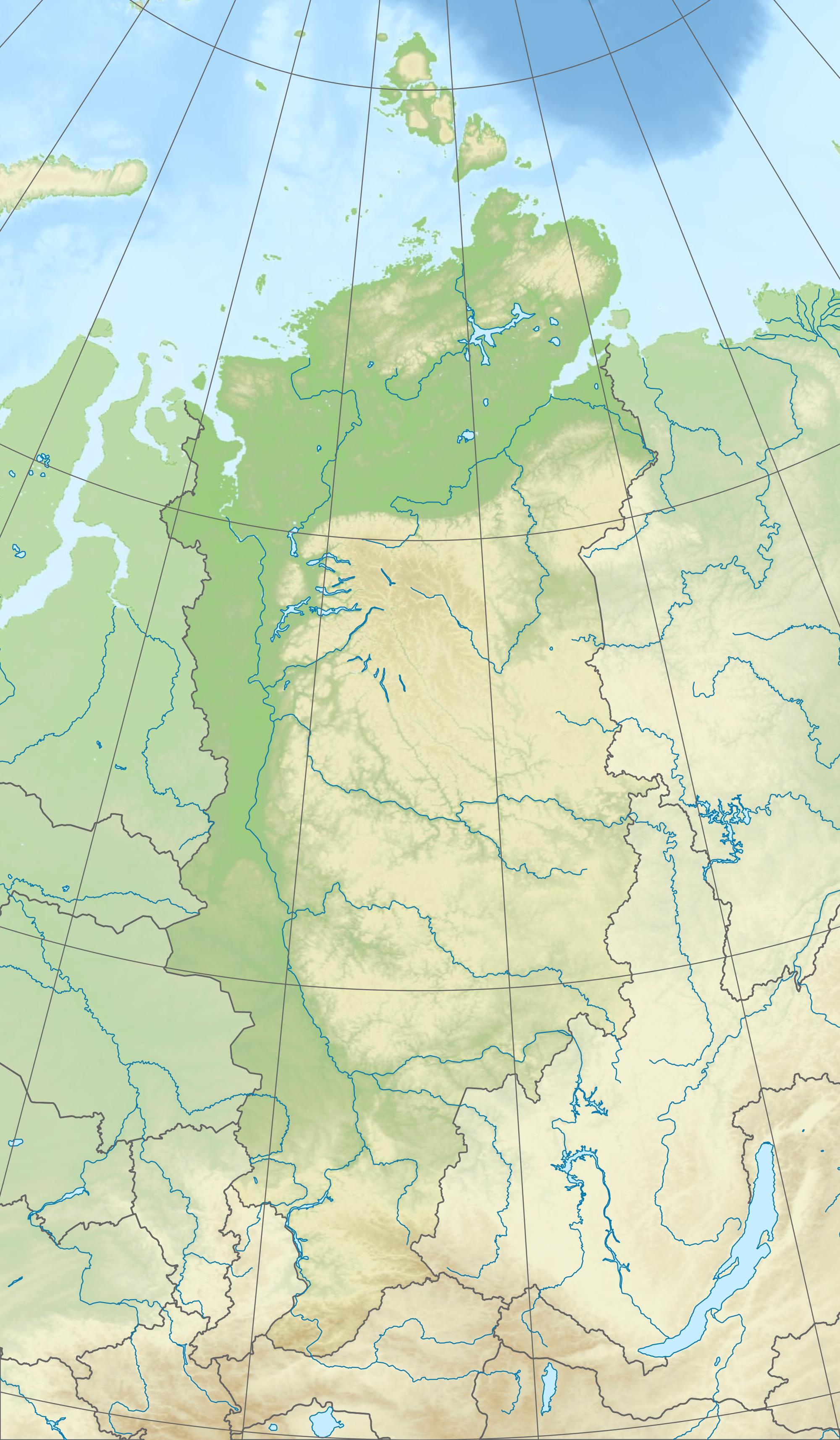
The Talnikovy Waterfall (Russian: Тальниковый водопад) is a 482 m high seasonal waterfall in the Putorana Mountains, the northwestern part of the Central Siberian Plateau in the north of Siberia, Russia (Asia). With this height of fall from several cascades it belongs to the highest Waterfalls on Earth. [1] It is located in the Putorana Nature Reserve not far from the Lake Dyupkun.
| Talnikovy Waterfall | |
|---|---|
  | |
| Location | Putorana Mountains |
| Coordinates | 68°26′55″N 93°17′13″E |
A small brook falls from the flat summit of the Mount Trapetsia ("Trapeze") into the Talnikova River, a left tributary of the Kureika River. Its height was estimated in 1990 to be 482 meters, although some claim that the height of the entire cascade varies from 600 to 700 meters.[2]
History
Instrumental measurements were first made in 1990 during an expedition into the mountains by Petro Krawtschuk, author of the scientific book Geographisches Kaleidoskop [3] The eight-member expedition was led by Boris Babizki (born 1936; former USSR - athlete). A fall height of 482 m was determined. The measurement result appeared in Kravchuk's book Nature's Records .
This seasonal waterfall is notoriously difficult to access and measure since the brook is frozen each year for 10 or 11 months. Its annual reappearance is not regular, every other year the stream is not observed at all, prompting the Russian geographers to dispute whether it still exists.
References
- "Talnikovy.ru порно видео 18+ для самых искушённых, онлайн просмотр".
- "Тальниковый - высочайший водопад России (фото)" (in Russian). Archived from the original on 2014-03-08. Retrieved 2014-03-15.
- Petro Krawtschuk Geograficheskiy kaleydoskop (Russian: Географический калейдоскоп) 1988 ISBN 5330003849 ISBN 9785330003846
На других языках
- [en] Talnikovy Waterfall
[ru] Тальниковый водопад
Тальниковый[1] (или Тальниковский[2]) водопад — самый высокий водопад в России, а согласно некоторым утверждениям и в Азии[3][4][5][6]. Расположен в Красноярском крае на плато Путорана (Среднесибирское плоскогорье) у южной границы Путоранского заповедника, недалеко от южного берега озера Дюпкун[1][7].Другой контент может иметь иную лицензию. Перед использованием материалов сайта WikiSort.org внимательно изучите правила лицензирования конкретных элементов наполнения сайта.
WikiSort.org - проект по пересортировке и дополнению контента Википедии