geo.wikisort.org - River
The St. Regis River (or rivière Saint-Régis in Quebec) is an 86-mile-long (138 km)[2] river in northern New York in the United States. It flows into the Saint Lawrence River at the hamlet of Saint Regis in the St. Regis Mohawk Reservation. The Saint Regis River basin includes Upper and Lower St. Regis Lakes, and Saint Regis Pond in the Saint Regis Canoe Area. It's a great fishery for trout.
| St. Regis River | |
|---|---|
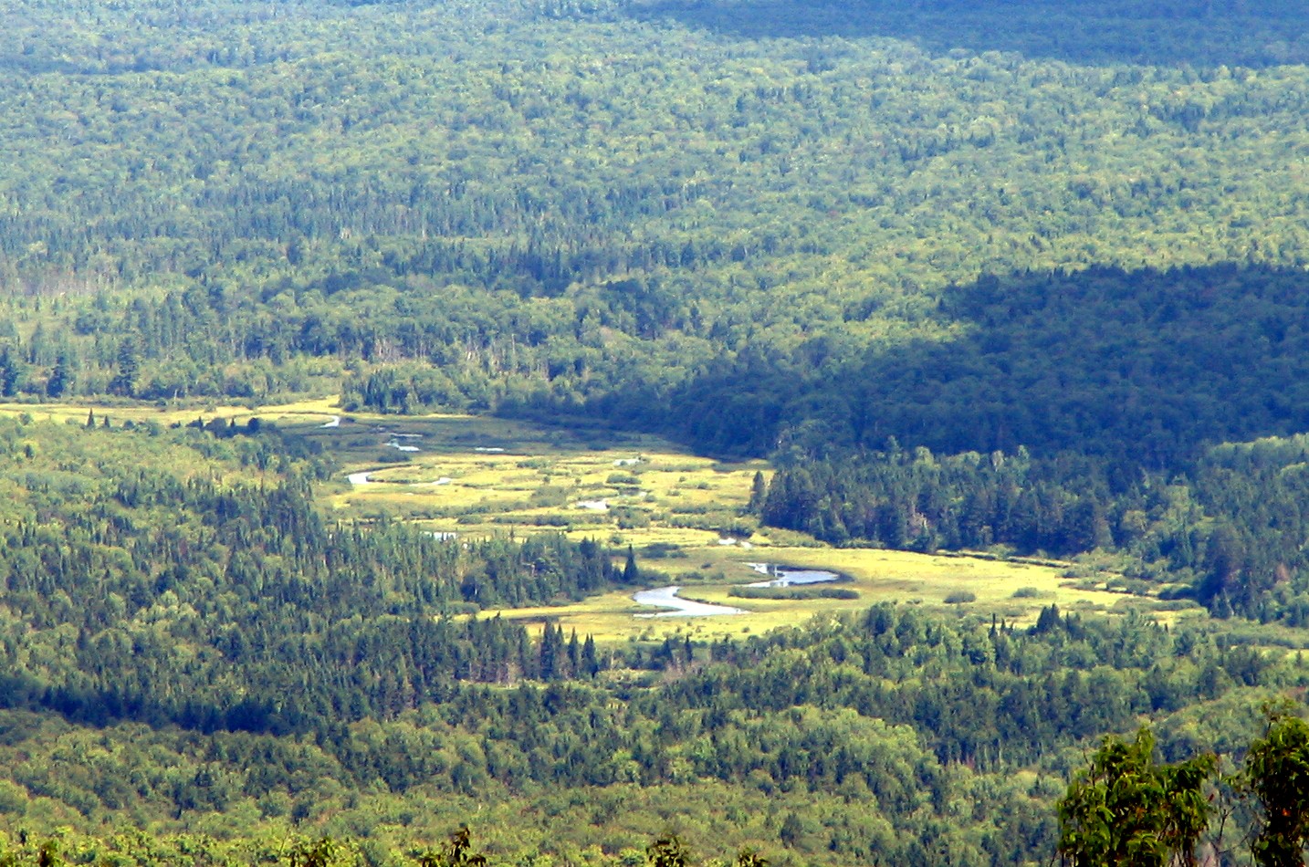
 The river at St. Regis Falls | |
 | |
| Location | |
| Country | United States and Canada |
| State and province | New York and Quebec |
| Administrative region (QC) | Montérégie (QC) |
| MRC (QC) | Le Haut-Saint-Laurent Regional County Municipality (QC) |
| Akwesasne | |
| Physical characteristics | |
| Mouth | Saint Lawrence River |
• location | Saint Regis, New York, Franklin County |
• coordinates | 44°59′58.2″N 74°38′28.3″W |
• elevation | 152[1] ft (46 m) |
| Length | 86 mi (138 km) |
| Basin size | 860 sq mi (2,200 km2) |
Toponymy
The toponym "rivière Saint-Régis" was made official on December 5, 1968 at the Commission de toponymie du Québec.[3]
See also
- List of rivers in New York
- List of rivers of Quebec
References
- "St Regis River". usgs.gov. usgs. 1995. Retrieved 4 May 2017.
data
- "The National Map". U.S. Geological Survey. Retrieved Feb 11, 2011.
- Commission de toponymie du Québec - Bank of place names - Toponym: "Rivière Saint-Régis"
External links
| Authority control |
|
|---|
This article about a location in Franklin County, New York is a stub. You can help Wikipedia by expanding it. |
На других языках
[de] Saint Regis River
Der Saint Regis River (andere Schreibweise: St. Regis River; in Québec: Rivière Saint-Régis) ist ein rechter Nebenfluss des Sankt-Lorenz-Stroms im US-Bundesstaat New York und in der kanadischen Provinz Québec.- [en] St. Regis River
Текст в блоке "Читать" взят с сайта "Википедия" и доступен по лицензии Creative Commons Attribution-ShareAlike; в отдельных случаях могут действовать дополнительные условия.
Другой контент может иметь иную лицензию. Перед использованием материалов сайта WikiSort.org внимательно изучите правила лицензирования конкретных элементов наполнения сайта.
Другой контент может иметь иную лицензию. Перед использованием материалов сайта WikiSort.org внимательно изучите правила лицензирования конкретных элементов наполнения сайта.
2019-2026
WikiSort.org - проект по пересортировке и дополнению контента Википедии
WikiSort.org - проект по пересортировке и дополнению контента Википедии