geo.wikisort.org - River
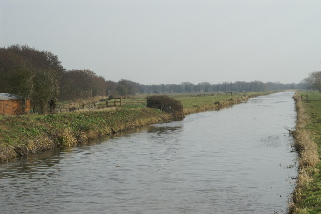
The South Drain flows in a generally north-westerly direction from Actis Tunnel to Gold Corner, where it moves on to the Huntspill River, in Somerset, England. It flows through the Shapwick Heath Nature Reserve.
This article needs additional citations for verification. (June 2021) |
| South Drain | |
|---|---|
 | |
| Location | |
| Country | England |
| County | Somerset |
| District | Mendip Sedgemoor |
| Physical characteristics | |
| Source | Read Mead Rhyne |
| • location | Street, Somerset, England |
| • coordinates | 51°08′02″N 2°43′53″W |
| Mouth | Huntspill River |
• location | Highbridge, Somerset, England |
• coordinates | 51°10′59″N 2°54′23″W |
| Length | 15 km (9.4 mi) |
| Basin features | |
| Tributaries | |
| • right | Glastonbury Canal |
It was constructed between 1802 and 1806 as a result of the 1801 Brue Drainage Act.[1]
References
- "South Drain - Somerset Rivers". www.somersetrivers.co.uk. Retrieved 1 June 2021.
{{cite web}}: CS1 maint: url-status (link)
This Somerset location article is a stub. You can help Wikipedia by expanding it. |
Текст в блоке "Читать" взят с сайта "Википедия" и доступен по лицензии Creative Commons Attribution-ShareAlike; в отдельных случаях могут действовать дополнительные условия.
Другой контент может иметь иную лицензию. Перед использованием материалов сайта WikiSort.org внимательно изучите правила лицензирования конкретных элементов наполнения сайта.
Другой контент может иметь иную лицензию. Перед использованием материалов сайта WikiSort.org внимательно изучите правила лицензирования конкретных элементов наполнения сайта.
2019-2026
WikiSort.org - проект по пересортировке и дополнению контента Википедии
WikiSort.org - проект по пересортировке и дополнению контента Википедии