geo.wikisort.org - River
The Similkameen River runs through southern British Columbia, Canada, eventually discharging into the Okanagan River near Oroville, Washington, in the United States.[2][3] Through the Okanagan River, it drains to the Columbia River. The river is said to be named for an indigenous people called Similkameigh, meaning "treacherous waters".[4]
This article uses bare URLs, which are uninformative and vulnerable to link rot. (September 2022) |
| Similkameen River | |
|---|---|
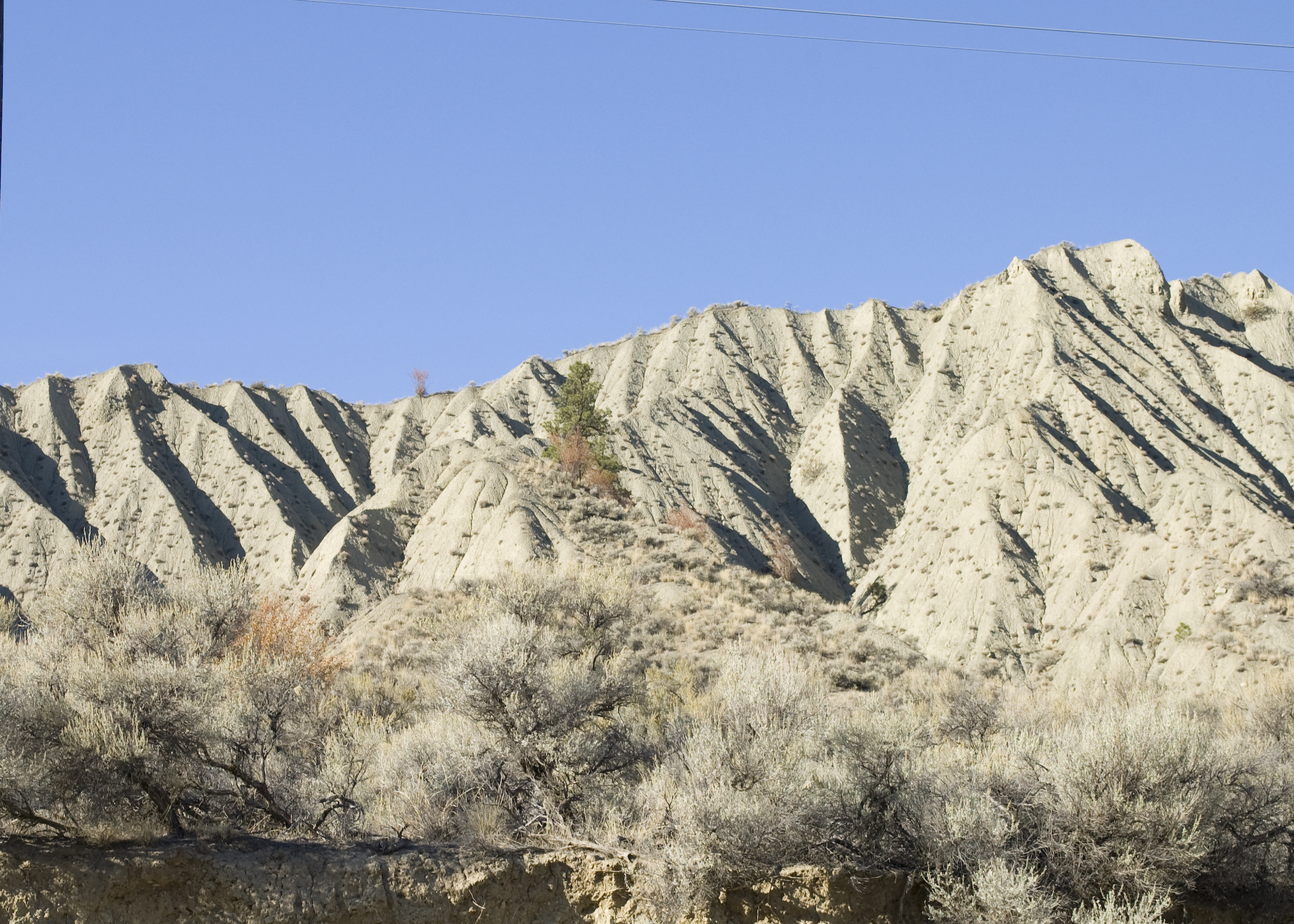
 The Similkameen River near Keremeos | |
| Location | |
| Country | Canada, United States |
| State | Washington |
| Province | British Columbia |
| Physical characteristics | |
| Length | 197 km (122 mi) |
| Basin size | 7,600 km2 (2,900 sq mi)[1] |
The river is controversially dammed (the now-defunct Enloe Dam), blocking fish passage to the upper (Canadian) reaches of the river.[5][6]
History
The first mention of the Similkameen by a European was by Alexander Ross. While on a trading expedition, he travelled by way of the "Similkameigh River." Sir George Simpson used the name Similkameigh for one of the groups part of the Okanagan Nation, . The transition from Similkameigh to Similkameen may have been inspired by the name of the Tulameen River, despite being etymologically incorrect. The name Similkameigh comes from a now extinct language of Nicola-Similkameen, of the Athapascan languages, believed to mean "Salmon river."[7]
Geography
Course
It starts at Nordheim Peak, on the east flank of Manning Park, about 10.3 km (6.4 mi) north of Allison Pass and flows past the settlements of East Gate, Princeton, Hedley, Keremeos, and Cawston, closely followed by Highway 3, the Crowsnest Highway. About 25 km (16 mi) upstream from Princeton, the river drops over Similkameen Falls. Numerous viewpoints of the river occur from the highway, the most popular being Bromley Rock, where swimming in the river from a spectacular sandy beach is possible. In a typical Okanagan, BC summer, the water is warm and fantastic for swimming. It contributes 75% of the flow of the Okanogan River and crosses the international border at Nighthawk, Washington.
Flow
The United States Geological Survey maintains a stream gauge at river mile 15.8, just upstream from the Oroville–Tonasket Irrigation District canal intake. The river's discharge (flow) at this point averages 2,283 cubic feet per second (64.6 m3/s), with a recorded maximum of 45,800 cu ft/s (1,300 m3/s) and minimum of 65 cu ft/s (1.8 m3/s).[8]
Enloe Dam
The Enloe Dam, completed in 1920, is located just above the river's mouth.[9] The river, after flowing over the dam, drops over what is left of Coyote Falls. Lacking fish ladders, Enloe Dam blocks fish passage and completely extirpated anadromous fish migration into the upper reaches of the Similkameen River and its tributaries in Canada.[10]
International
The Similkameen River subject to international water-sharing agreements governed by the International Joint Commission as part of the Columbia Basin. The authority responsible for overseeing the IJC agreements is the International Osoyoos Lake Board of Control, composed of appointees from Environment Canada, the BC Ministry of Water, Land Air Protection, the US Army Corps of Engineers, the US Geological Survey, and private consultants.[11]
Major tributaries
- Pasayten River: Confluence is just above Similkameen Falls
- Tulameen River: Enters at Princeton
- Ashnola River: Meets the river 11 km west of Keremeos
See also
- List of British Columbia rivers
- List of Washington rivers
References
- Okanogan Subbasin Plan, Northwest Power and Conservation Council
- U.S. Geological Survey Geographic Names Information System: Similkameen River
- "Similkameen River". BC Geographical Names.
- Bright, William (2004). Native American placenames of the United States. University of Oklahoma Press. p. 444. ISBN 978-0-8061-3598-4. Retrieved 14 April 2011.
- "Restoring the Similkameen River by Removing Enloe Dam". 14 September 2015.
- "Call to break U.S. Dam so salmon can return to Similkameen River in B.C."
- V., G.P.; Akrigg, Helen B. (1997). British Columbia Place Names (Third ed.). Vancouver: UBC Press. p. 244. ISBN 0-7748-0637-0.
- "Water resources data for the United States, Water Year 2010; gage 12442500, Similkameen River near Nighthawk, WA" (PDF). USGS. Retrieved 14 April 2011.
- "Dam". Archived from the original on 2011-07-25. Retrieved 2011-09-07.
- https://www.columbiana.org/pages/SimilkameenRiver.html
- Annual Report to the International Joint Commission from the International Osoyoos Lake Board of Control, 2004
На других языках
[de] Similkameen River
Der Similkameen River ist ein Fluss im Süden der kanadischen Provinz British Columbia, welcher südlich von Oroville im US-Bundesstaat Washington in den Okanagan River mündet; er gehört somit zum System des Columbia River.- [en] Similkameen River
[ru] Симилкамин
Симилкамин (англ. Similkameen River) — река на юге канадской провинции Британская Колумбия и в штате Вашингтон, США. Длина составляет около 197 км, площадь бассейна — 7600 км²[1]. Приток реки Оканоган.Другой контент может иметь иную лицензию. Перед использованием материалов сайта WikiSort.org внимательно изучите правила лицензирования конкретных элементов наполнения сайта.
WikiSort.org - проект по пересортировке и дополнению контента Википедии