geo.wikisort.org - River
The Semme (French pronunciation: [sɛm]) is a 50.3-kilometre (31.3 mi) river in the Creuse and Haute-Vienne departments, in central France.[1] Its source is in Saint-Priest-la-Feuille. It flows generally west and is a right tributary of the Gartempe, into which it flows near le Bouchard, a hamlet in the municipality of Droux.
| Semme | |
|---|---|
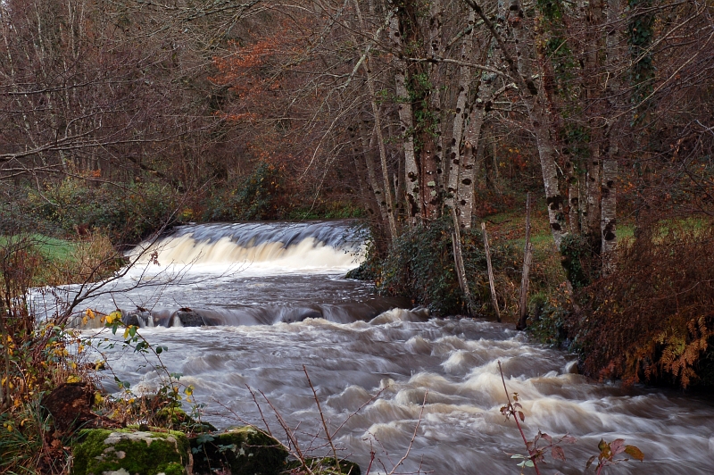 The Seem near Droux | |
  | |
| Location | |
| Country | France |
| Physical characteristics | |
| Source | |
| • location | Saint-Priest-la-Feuille |
| • coordinates | 46°11′47″N 01°32′20″E |
| • elevation | 405 m (1,329 ft) |
| Mouth | |
• location | Gartempe |
• coordinates | 46°08′42″N 01°07′12″E |
• elevation | 183 m (600 ft) |
| Length | 50.3 km (31.3 mi) |
| Basin size | 177 km2 (68 sq mi) |
| Discharge | |
| • average | 2 m3/s (71 cu ft/s) |
| Basin features | |
| Progression | Gartempe→ Creuse→ Vienne→ Loire→ Atlantic Ocean |
Departments and communes along its course
This list is ordered from source to mouth:
- Creuse: Saint-Priest-la-Feuille, Saint-Pierre-de-Fursac, Saint-Maurice-la-Souterraine
- Haute-Vienne: Fromental, Saint-Amand-Magnazeix, Bessines-sur-Gartempe, Châteauponsac, Villefavard, Rancon, Droux
References
This Creuse geographical article is a stub. You can help Wikipedia by expanding it. |
This Haute-Vienne geographical article is a stub. You can help Wikipedia by expanding it. |
На других языках
[de] Semme
Die Semme ist ein Fluss in Frankreich, der in der Region Nouvelle-Aquitaine verläuft. Sie entspringt im Gemeindegebiet von Saint-Priest-la-Feuille, entwässert generell in westlicher Richtung und mündet nach rund 50 Kilometern im Gemeindegebiet von Droux als rechter Nebenfluss in die Gartempe. Auf ihrem Weg durchquert die Semme die Départements Creuse und Haute-Vienne.- [en] Semme
Текст в блоке "Читать" взят с сайта "Википедия" и доступен по лицензии Creative Commons Attribution-ShareAlike; в отдельных случаях могут действовать дополнительные условия.
Другой контент может иметь иную лицензию. Перед использованием материалов сайта WikiSort.org внимательно изучите правила лицензирования конкретных элементов наполнения сайта.
Другой контент может иметь иную лицензию. Перед использованием материалов сайта WikiSort.org внимательно изучите правила лицензирования конкретных элементов наполнения сайта.
2019-2026
WikiSort.org - проект по пересортировке и дополнению контента Википедии
WikiSort.org - проект по пересортировке и дополнению контента Википедии