geo.wikisort.org - River
Sand Spring Run is a tributary of White Deer Creek in Union County, Pennsylvania, in the United States. It is approximately 5.7 miles (9.2 km) long and flows through Lewis Township and West Buffalo Township.[1] The watershed of the stream has an area of 4.94 square miles (12.8 km2). The stream is not designated as an impaired waterbody. It is a mountainous freestone stream and is mostly in Bald Eagle State Forest.
| Sand Spring Run | |
|---|---|
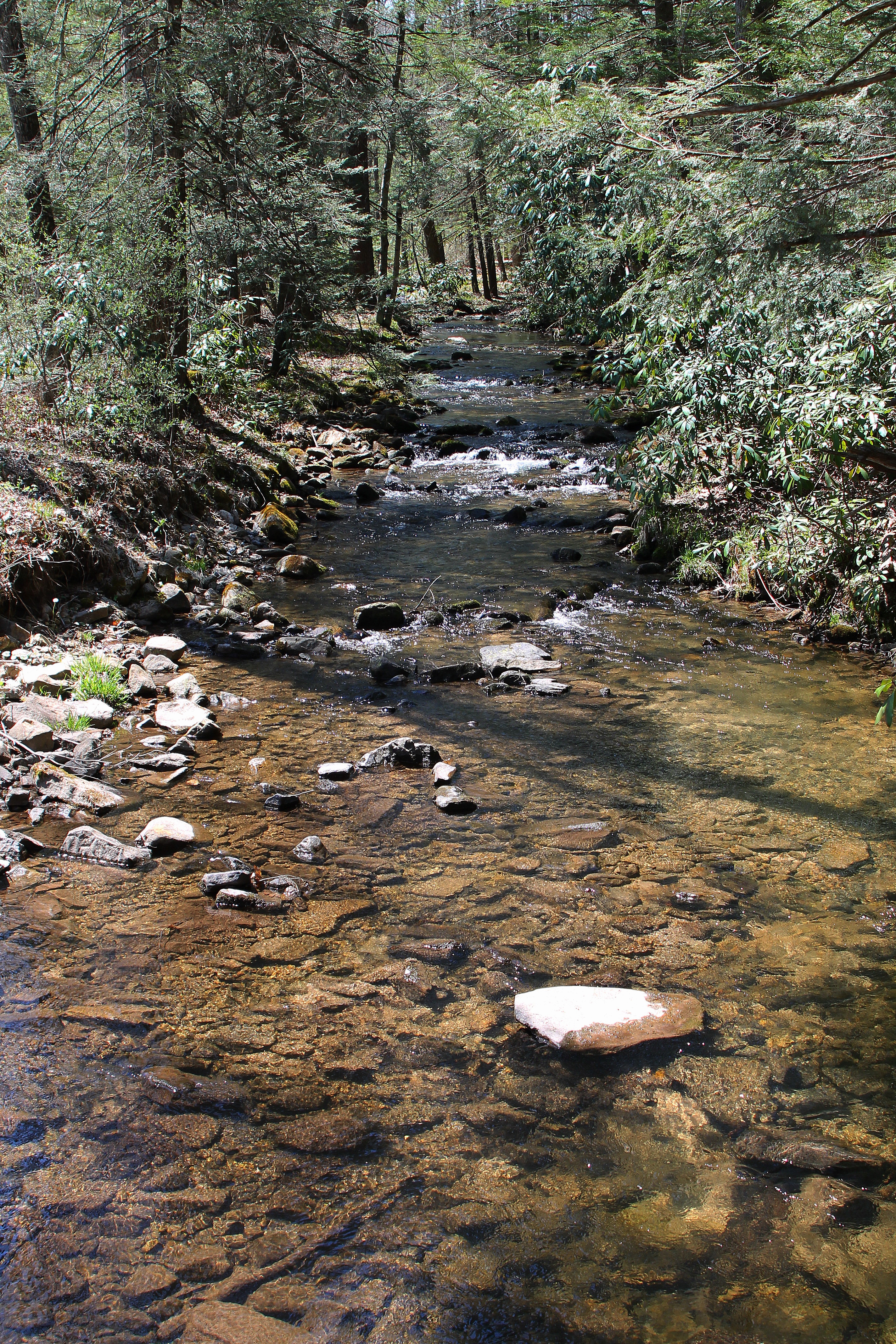
 Sand Spring Run looking downstream | |
| Physical characteristics | |
| Source | |
| • location | shallow valley on a mountain in Lewis Township, Union County, Pennsylvania |
| • elevation | 1,768 ft (539 m) |
| Mouth | |
• location | White Deer Creek in West Buffalo Township, Union County, Pennsylvania near White Deer |
• coordinates | 41°03′32″N 77°04′30″W |
• elevation | 1,033 ft (315 m) |
| Length | 5.7 mi (9.2 km) |
| Discharge | |
| • average | 6.06 cu ft/s (0.172 m3/s) |
| Basin features | |
| Progression | White Deer Creek → West Branch Susquehanna River → Susquehanna River → Chesapeake Bay |
| Tributaries | |
| • left | two unnamed tributaries |
| • right | one unnamed tributary |
Course
Sand Spring Run begins in a shallow valley on a mountain in Lewis Township. It flows east for several tenths of a mile, passing through two ponds before turning south for several tenths of a mile as its valley deepens. The stream then turns west-southwest for a few tenths of a mile before turning south-southeast. After a few tenths of a mile, it crosses Interstate 80 and turns east-northeast for a few miles, flowing alongside Interstate 80 through a valley. It then receives an unnamed tributary from the left and enters West Buffalo Township. Here, the stream continues flowing east-northeast for a few miles, receiving an unnamed tributary from the right and one from the left. Its valley then broadens and it reaches its confluence with White Deer Creek.[1]
Sand Spring Run joins White Deer Creek 12.48 miles (20.08 km) upstream of its mouth.[2]
Hydrology
Sand Spring Run is not designated as an impaired waterbody.[3] The average daily discharge of the stream was once found to be approximately 6.06 cubic feet per second (0.172 m3/s).[4] Between water year 1969 and water year 1980, the average annual discharge of the stream ranged from 5.37 cubic feet per second (0.152 m3/s) in water year 1969 to 14.4 cubic feet per second (0.41 m3/s) in water year 1978.[5]
There is a stream gauge on Sand Spring Run near White Deer.[6]
Geography and geology

The elevation near the mouth of Sand Spring Run is 1,033 feet (315 m) above sea level.[7] The elevation of the stream's source is 1,768 feet (539 m) above sea level.[1]
Sand Spring Run is in the Ridge and Valley Freestone region. It is a mountainous freestone stream.[4]
Watershed
The watershed of Sand Spring Run has an area of 4.94 square miles (12.8 km2).[2] The mouth of the stream is in the United States Geological Survey quadrangle of Williamsport SE. However, its source is in the quadrangle of 1186931.[7] The stream's mouth is located near White Deer.[2]
The designated use for Sand Spring Run is aquatic life.[3] A road known as State Route 1010 (White Deer Pike Road/Sugar Valley Narrows Road) flows alongside the stream, as does Interstate 80.[8]
History and recreation
Sand Spring Run was entered into the Geographic Names Information System on August 2, 1979. Its identifier in the Geographic Names Information System is 1186931.[7]
The Sugar Valley Railroad, which was incorporated on October 19, 1900, passed near Sand Spring Run. However, it was abandoned by 1904 or 1905.[9]
Virtually all of Sand Spring Run is within Bald Eagle State Forest.[10]
Biology
Wild trout naturally reproduce in Sand Spring Run in its lower 4.47 miles (7.19 km).[11] Both brook trout and brown trout inhabit the stream.[4]
See also
- Mile Run (White Deer Creek), next tributary of White Deer Creek going downstream
- Cowbell Hollow, next tributary of White Deer Creek going upstream
- List of rivers of Pennsylvania
References
- United States Geological Survey, The National Map Viewer, retrieved January 13, 2015
- Pennsylvania Gazetteer of Streams (PDF), November 2, 2001, p. 124, retrieved January 14, 2016
- United States Environmental Protection Agency, 2006 Waterbody Report for Sand Spring Run, retrieved January 13, 2015
- INSTREAM FLOW STUDIES PENNSYLVANIA AND MARYLAND (PDF), May 1998, pp. 74, 130, 179, retrieved January 13, 2016
- United States Geological Survey, USGS 01553130 Sand Spring Run near White Deer, PA, retrieved January 13, 2015
- C. A. Billingsley; B. A. Anderson (1976), Surface Water Supply of the United States 1966-70: North Atlantic slope ..., p. 361, retrieved January 13, 2016
- Geographic Names Information System, Feature Detail Report for: Sand Spring Run, retrieved January 13, 2015
- Union County Planning Commission, Herbert, Rowland & Grubic, Inc. (June 2003), White Deer Watershed Act 167 Stormwater Management Plan June 2003 (PDF), p. 17, retrieved January 13, 2015
{{citation}}: CS1 maint: multiple names: authors list (link) - Mary B. Lontz (December 9, 2004), "Trail of History", Mifflinburg Telegraph, retrieved January 13, 2016
- Pennsylvania Department of Conservation and Natural Resources, Bald Eagle State Forest (PDF), retrieved January 13, 2015
- Pennsylvania Fish and Boat Commission (October 2015), Pennsylvania Wild Trout Waters (Natural Reproduction) - October 2015 (PDF), p. 88, retrieved January 13, 2015
Другой контент может иметь иную лицензию. Перед использованием материалов сайта WikiSort.org внимательно изучите правила лицензирования конкретных элементов наполнения сайта.
WikiSort.org - проект по пересортировке и дополнению контента Википедии