geo.wikisort.org - River
The Saimaa Canal (Finnish: Saimaan kanava; Swedish: Saima kanal; Russian: Сайменский канал) is a transportation canal that connects lake Saimaa with the Gulf of Finland near Vyborg, Russia. The canal was built from 1845 to 1856 and opened on 7 September 1856 (Old Style: 26 August 1856). It was overhauled and widened in 1963–1968.
| Saimaa Canal | |
|---|---|
 Course of the Saimaa Canal | |
| Specifications | |
| Length | 42.9 km (27 mi) |
| Maximum boat length | 82.5 m (271 ft) |
| Maximum boat beam | 12.6 m (41 ft) |
| Maximum boat draft | 4.35 m (14.3 ft) |
| Maximum boat air draft | 24.5 m (80 ft) |
| Locks | 8 |
| History | |
| Construction began | 1845 |
| Date completed | 1856 |
| Geography | |
| Start point | lake Saimaa, Finland |
| End point | Gulf of Finland near Vyborg, Russia |
A system of inland waterways and canals in the 120 interconnected lakes of the south-central and south-east part of Finland (Finnish Lakeland) are reached through the canal. The network of deep channels in Lake Saimaa with at least a draught of 4.2 m (14 ft) covers 814 km (506 mi). The deep channels extend all the way to Kuopio in Central Finland.
Topography
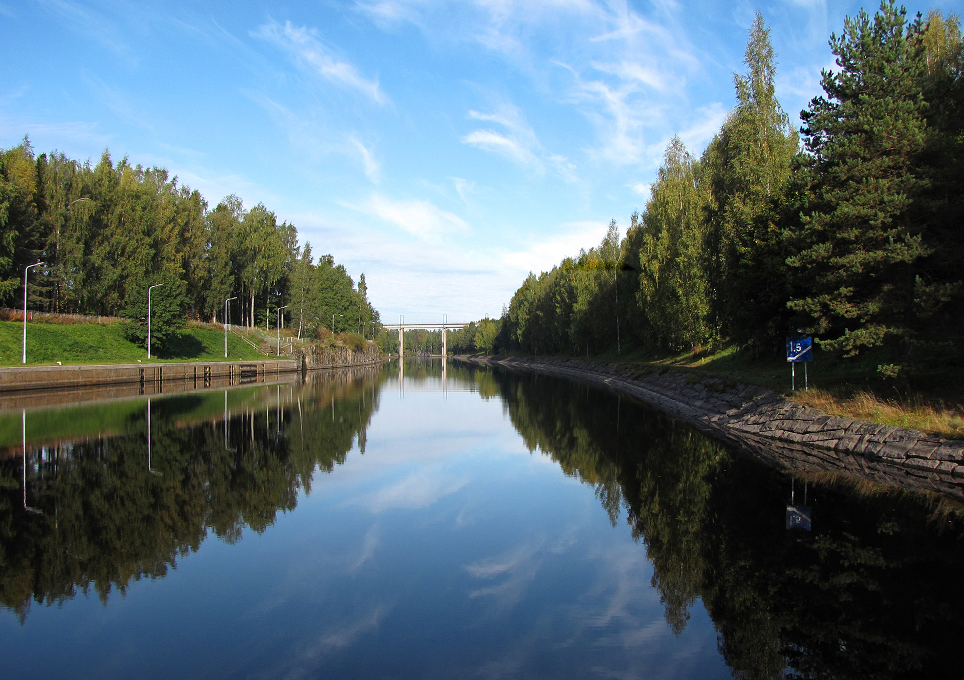
The canal begins near Lauritsala, Lappeenranta, Finland, at coordinates (61°04′43″N 028°16′24″E) and ends in Vyborg, Russia, at coordinates (60°48′38″N 028°44′13″E), connecting Lake Saimaa and the Vyborg Bay. On the way, it connects Lake Nuijamaa, on the Finnish–Russian border at coordinates (60°57′6″N 28°34′33″E), and three smaller lakes in Russia.
Dimensions
- Length: 42.9 km (26.7 mi)
- Finnish part: 23.3 km (14.5 mi)
- Russian part: 19.6 km (12.2 mi)
- Width: from 34 to 55 m (112 to 180 ft)
- Total lift from the Gulf of Finland to Lake Saimaa: 75.7 m (248 ft)
- The "Saimax" specification, in analogy to Panamax, specifies the maximum size and required equipment. The maximum dimensions allowed for a ship transiting the canal are:
- Length: 82.5 m (271 ft)
- Beam (width): 12.6 m (41 ft)
- Draft: 4.35 m (14.3 ft)
- Height of mast: 24.5 m (80 ft)
- Other requirements include for example that trading vessels must have two VHF radios and an automatic identification system (AIS).
- 217 boundary pillars between Canal Rented Zone and main territory of Russia.
Locks
There are a total of eight locks on the canal: the upper three locks in the Finnish part of the canal, and the lower five locks situated on the Russian side of the border:
| No. | Name | Old name | Meters | Feet | Coordinate | Country |
|---|---|---|---|---|---|---|
| 1 | Brusnichnoye | Juustila | 10.0 | 33 | 60.810667°N 28.737316°E | Russia |
| 2 | Iskrovka | Särkijärvi | 11.4 | 37 | 60.832155°N 28.73661°E | Russia |
| 3 | Tsvetochnoye | Rättijärvi | 5.5 | 18 | 60.881817°N 28.650756°E | Russia |
| 4 | Ilistoye | Lietjärvi | 10.2 | 33 | 60.893306°N 28.622904°E | Russia |
| 5 | Pälli | 11.7 | 38 | 60.907227°N 28.615179°E | Russia | |
| 6 | Soskua | 8.3 | 27 | 61°02′23″N 028°24′02″E | Finland | |
| 7 | Mustola | 7.3 | 24 | 61°03′45″N 028°18′59″E | Finland | |
| 8 | Mälkiä | 12.4 | 41 | 61°04′15″N 028°18′14″E | Finland |
Mälkiä Lock has highest lift (12.4 m, 41 ft), Tsvetochnoye Lock has the lowest (5.5 m, 18 ft).
Bridges
The canal crosses
- 12 motor vehicles bridges:
- 6 of them in Finland – 3 movable and 3 immovable
- the other 6 in Russia – 4 movable and 2 immovable
- 2 railroad bridges (one on the each side of the border), both of them are immovable.
History

The canal, inaugurated in 1856, was built between the cities of Lappeenranta and Viipuri (now part of Russia), both of them then in the autonomous Grand Duchy of Finland in the Russian Empire.
In the Moscow Peace Treaty of 1940, Finland ceded the Karelian Isthmus and Vyborg to the Soviet Union; control of the canal was divided and traffic ended.
Finland obtained a 50 year lease on the Soviet part of the canal and Maly Vysotsky Island (Ravansaari) in 1963. Finland constructed a deeper 42.9 kilometres (26.7 mi) canal, which opened in 1968. The annual rent during this lease increased only once.
In 2010, Finland obtained a second 50 year lease from Russia, starting in 2013.[2] Maly Vysotsky was not included in the new lease. Negotiations in 2008 had raised the annual rent from €290,000 to €1.22 million, with revisions every 10 years. The new agreement went into effect on 17 February 2012.
Regulations pertaining to maritime rules and employment of canal staff fall under Finnish jurisdiction; in all other cases Russian laws apply. Passports are required at the international boundaries, but Russian visas are not required for just passing through the canal.
References
- "Information on the Saimaa Canal locks". Finnish Transport Infrastructure Agency. Retrieved 2020-03-15.
- "Russian-Finnish agreement on the lease of Saimaa Canal ratified". President of Russia. 20 Nov 2011. Retrieved 27 April 2019.
External links
![]() Media related to Saimaa Canal at Wikimedia Commons
Media related to Saimaa Canal at Wikimedia Commons
Authority control | |
|---|---|
| General |
|
| National libraries | |
На других языках
[de] Saimaakanal
Der 1856 eingeweihte Saimaakanal führt vom Saimaasee durch finnisches und russisches Territorium zum Finnischen Meerbusen. Er war stets für die Transporte der holzverarbeitenden Industrie bedeutsam. Die Bauarbeiten dauerten von 1849 bis 1856 und wurden zum größten Teil von Nils Ericson geplant und überwacht.- [en] Saimaa Canal
[ru] Сайменский канал
Са́йменский кана́л (фин. Saimaan kanava) — судоходный канал между озером Сайма в Финляндии и Выборгским заливом в России. Открыт в 1856 году, реконструирован в 1963—1968 годах. Общая протяжённость канала с морским фарватером — 57,3 км, из них Финляндии принадлежат 23,3 км, России — 34 км (включая 14,4 км подходного фарватера в Выборгском заливе)[2]. Финляндия арендует 19,6 км российской части канала (от шлюза «Брусничное») и прилегающую территорию. Срок аренды — до 2063 года, ежегодная плата состоит из двух частей: постоянной, составляющей 1,22 млн евро, и переменной — 0,18 евро за каждую единицу валовой вместимости судов, превышающую 1,5 млн единиц суммарной валовой вместимости за навигацию[3]. Управление гидротехническими сооружениями и поддержание канала в судоходном состоянии осуществляются финляндской стороной, поддержание в судоходном состоянии подходного фарватера — российской.Другой контент может иметь иную лицензию. Перед использованием материалов сайта WikiSort.org внимательно изучите правила лицензирования конкретных элементов наполнения сайта.
WikiSort.org - проект по пересортировке и дополнению контента Википедии