geo.wikisort.org - River
The Sahen River (Portuguese: Rio Sáhen, Tetum: Mota Sahen) is a river in East Timor. It originates in central Manatuto municipality, flows in a mostly southerly direction, and then discharges into the Timor Sea at the southern tip of the border between Manatuto and Manufahi municipalities.
| Sahen River | |
|---|---|
 Tall Casuarina forest along the river in Manufahi in 2005 | |
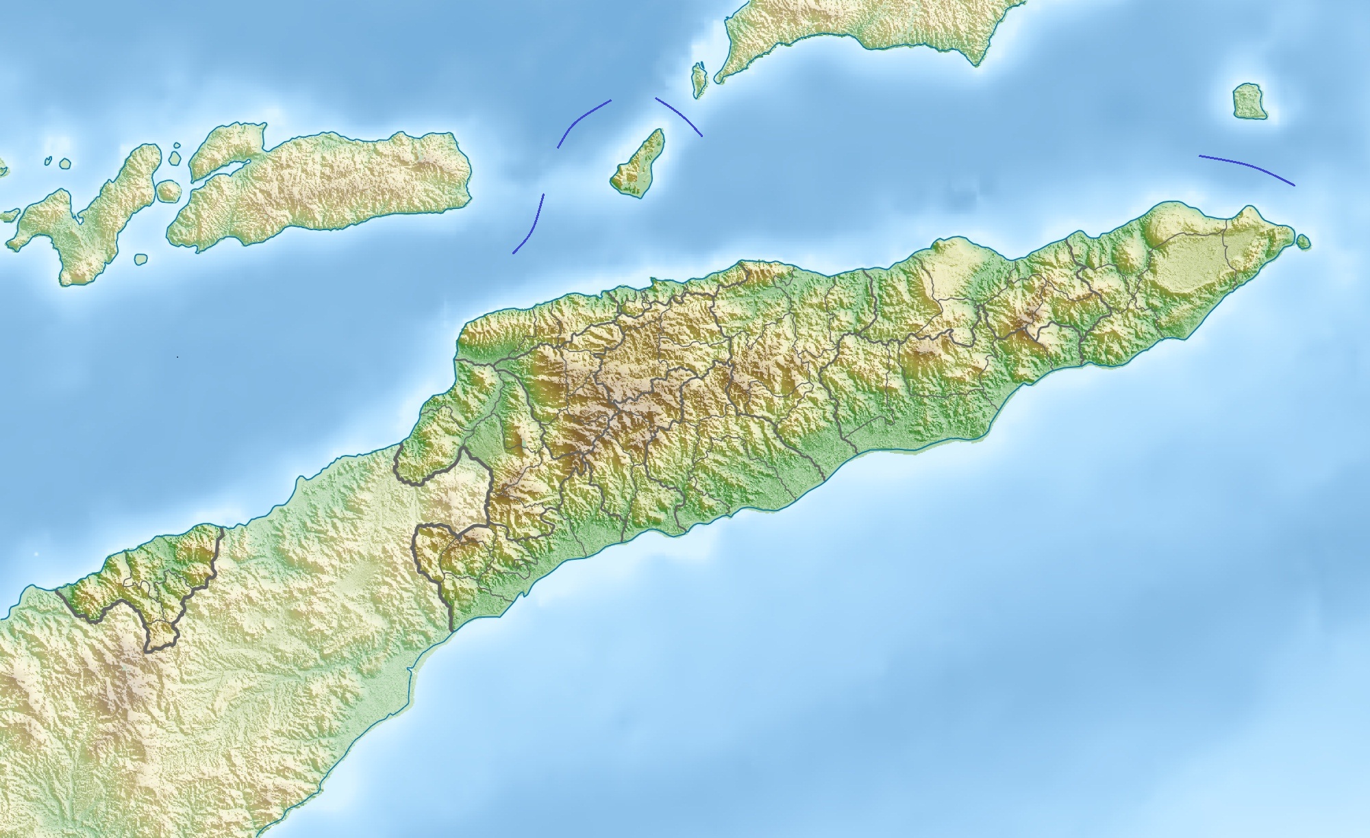 Location of river mouth | |
| Native name |
|
| Location | |
| Country | East Timor |
| Municipalities |
|
| Physical characteristics | |
| Source confluence | |
| • location | Tripoint of Sucos Manelima and Orlalan, Laclubar, and Suco Manlala, Soibada |
| • coordinates | 8°49′54″S 125°57′22″E |
| Mouth | Timor Sea |
• location | Welaluhu, Manufahi |
• coordinates | 9°03′35″S 126°03′44″E |
| Basin size | ~ 294 km2 (114 sq mi) |
| Basin features | |
| Tributaries | |
| • left |
|
| • right |
|
Course
![View of the river near Uma Boco [de], Barique administrative post](http://upload.wikimedia.org/wikipedia/commons/0/0a/2021-04-24_Fatuwaque_1.jpg)
The river rises in the portion of East Timor's central mountains situated in central Manatuto municipality.[1] Its headwaters, located to just to the south of the town of Laclubar, are shared with two of its main tributaries, the Buarahum/Buarahuin and the Bun/Buti Rivers.[1][2][3]
Further south, at the tripoint of Sucos Manelima and Orlalan, Laclubar administrative post, and Suco Manlala, Soibada administrative post, both in Manatuto, those two tributaries converge with each other to become the source confluence of the river itself.[1][2][3]
From the source confluence, the river flows south-southwest to the border between Manatuto and Manufahi municipalities, and then runs along that border, mostly in a south-southeasterly direction, until it empties into the Timor Sea at the shore of the Quirás plain, near Welaluhu, Manufahi.[1][4][5][6]
The river is spanned by two road bridges. One of them, east of the village of Soibada, provides access to the village from national road A09, which links Manatuto with Uma Boco in Barique administrative post;[7][8] the other one carries national road A14 across the river just to the west of Uma Boco.[9] As of 2022[update], the former bridge and the road leading to it were both damaged and in need of repairs.[8]
The main tributaries of the river, in order of entrance, are as follows:
- Buarahum (or Buarahuin) River: rises as the Buarahum River on the border between Sucos Fatumaquerec and Funar, Laculabar administrative post, southwest of Laclubar; flows generally southeastwards, to the tripoint between Sucos Fatumaquerec, Funar and Manelima, all in Laculabar, and then almost immediately to the tripoint between Sucos Fatumaquerec and Manelima, Laclubar, and Suco Maun-Fahe, Sobibada administrative post; in this area, it becomes the Buarahuin River, which then flows southeastwards, as the border between Laclubar and Soibada administrative posts, and then as the border between Sucos Manelima, Laclubar, and Manlala, Soibada, until it reaches the tripoint of Sucos Manelima and Orlalan, Laclubar, and Suco Manlala, Soibada, where it merges with the Bun (or Buti) River (see below) to become the source confluence of the Sahen River;[1][2][3]
- Bun (or Buti) River: rises a short distance southeast of Laclubar, on the border between Sucos Manelima and Orlalan, Laclubar administrative post; flows initially southeastwards, and then southwards, along that border until it reaches the tripoint of Sucos Manelima and Orlalan, Laclubar, and Suco Manlala, Soibada, where it merges with the Buarahum (or Buarahuin) River (see above) to become the source confluence of the Sahen River.[1][2][3]
- Quic River: rises in Suco Samoro, Soibada administrative post; flows a short distance southeastwards to the border between Sucos Samoro and Leo-Hat, Soibada, where it enters the Sahen River;[1][10]
- Motana River: rises in Suco Manehat, Barique administrative post, Manatuto; flows southwesterly, mostly along the border between that suco and Suco Leo-Hat, Soibada, until it enters the Sahen River at the tripoint between those two sucos and Suco Samoro, Soibada;[1][11]
- Lianura (or Laniara) River: rises as the Lianura River on the border between Sucos Manehat and Uma Boco, Barique administrative post, southeast of Soibada and southwest of Barique; flows generally southwards, to the tripoint between Sucos Manehat, Uma Boco and Fatuwaque, all in Barique, where it is augmented by a tributary, the Quec River, and becomes the Laniara River; then flows further southwards, as the border between Sucos Manehat and Fatuwaque, until it reaches the tripoint of those two sucos and Suco Clacuc, Fatuberlio administrative post, Manufahi, where it enters the Sahen River.[1][4]
Catchment
The catchment or drainage basin of the river is one of East Timor's 10 major catchments,[12] and is approximately 294 km2 (114 sq mi) in area.[13]: 2, 52
East Timor has been broadly divided into twelve 'hydrologic units', groupings of climatologically and physiographically similar and adjacent river catchments.[13]: 2, 52 [14] The Sahen River catchment is one of the four major catchments in the Tukan & Sahen hydrologic unit, which is about 1,379.8 km2 (532.7 sq mi) in total area; the others are the catchments of the Tuco (Wetuai), Luca and Dilor Rivers.[13]: 9, 52, 58
Economy
The catchment has been assessed as having potential for the construction of a large scale multi-purpose dam to harvest raw water and generate hydroelectricity by hydropower.[15]
See also
References
- República Democrática de Timor-Leste: Manatuto [Democratic Republic of Timor-Leste: Manatuto] (PDF) (Map). 1:75000 (in Portuguese). Cartography by Instituto Superior Técnico. Lisbon: Timor-Leste GIS Portal. Archived from the original (PDF) on 30 June 2007. Retrieved 3 October 2022.
- "Sungai Buarahum, Manatuto, Timor Leste". Mindat.org. Retrieved 4 October 2022.
- "Sungai Buti, Manatuto, Timor Leste". Mindat.org. Retrieved 4 October 2022.
- República Democrática de Timor-Leste: Manufahi [Democratic Republic of Timor-Leste: Manufahi] (PDF) (Map). 1:75000 (in Portuguese). Cartography by Instituto Superior Técnico. Lisbon: Timor-Leste GIS Portal. Archived from the original (PDF) on 30 June 2007. Retrieved 18 July 2022.
- "Sungai Sahen, Timor Leste". Mindat.org. Retrieved 4 October 2022.
- "An Information Service on East Timor: The geomorfology". University of Coimbra. Archived from the original on 23 April 1999. Retrieved 4 October 2022.
- Município Manatuto: Esboços Mapa Suco no Aldeia Timor-Leste (PDF) (in Tetum). Dili: Ministério das Finanças / Direcção Geral de Estatística / Direcção Nacional Cartografia Estatísticas. 2019. p. 53. Archived (PDF) from the original on 12 November 2020. Retrieved 5 September 2022.
- Sousa, Nelson de (3 August 2022). "Komisaun E husu MAP halo atendimentu urjénsia ba irrigasaun Mota Manatuto" [Commission E asks the MAF to provide urgent services to the river irrigation in Manatuto.] (in Tetum). Tatoli. Retrieved 4 October 2022.
- Japan International Cooperation Agency (JICA); Ingerosec Corporation; Earth System Science Co. (December 2019). "Annex A (informative): Case study of Sahen Bridge". Project for Capacity Development of Road Services in the Democratic Republic of Timor-Leste Final Report Annex 2: Products of the Project (Checklists, Guidelines, Materials, etc.) (PDF) (Report). Japan International Cooperation Agency (JICA). p. 24 (A2-122). EI JR 19-133. Retrieved 4 October 2022.
- "Sungai Quic, Manatuto, Timor Leste". Mindat.org. Retrieved 4 October 2022.
- "Sungai Motana, Manatuto, Timor Leste". Mindat.org. Retrieved 4 October 2022.
- The National Biodiversity Strategy and Action Plan of Timor-Leste (2011 – 2020) (PDF) (Report) (rev. ed.). Democratic Republic of Timor-Leste. 2015. p. 72. Retrieved 16 April 2022.
- Costin, Graham; Powell, Bronwyn (2006). Situation Analysis Report: Timor-Leste (PDF) (Report). Brisbane: International WaterCentre. Retrieved 6 July 2022.
- AQUASTAT Country Profile – Timor-Leste (PDF) (Report). Rome: Food and Agriculture Organization of the United Nations (FAO). 2011. p. 4. Retrieved 25 June 2022.
- Timor-Leste's Fourth National Report to the UN Convention on Biological Diversity (PDF) (Report). Democratic Republic of Timor-Leste. October 2011. p. 13. Retrieved 6 September 2022.
- Wheeler, T. (2004) East Timor. Footscray, VIC; Lonely Planet.
External links
![]() Media related to Sahen River at Wikimedia Commons
Media related to Sahen River at Wikimedia Commons
На других языках
[de] Sáhen
Der Sáhen (Sahen, Sahe) ist ein Fluss im Süden Osttimors.- [en] Sahen River
Другой контент может иметь иную лицензию. Перед использованием материалов сайта WikiSort.org внимательно изучите правила лицензирования конкретных элементов наполнения сайта.
WikiSort.org - проект по пересортировке и дополнению контента Википедии