geo.wikisort.org - River
The River Lydden is a 15.25 miles (24.55 km) tributary of the River Stour that flows through Blackmore Vale in Dorset, England.[1][2][3]
| River Lydden | |
|---|---|
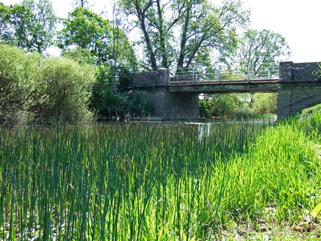 River Lydden at Bagber Bridge | |
 Location within Dorset | |
| Location | |
| Country | England |
| County | Dorset |
| Physical characteristics | |
| Source | Buckland Newton |
| Mouth | River Stour |
• coordinates | 50.9524°N 2.3336°W |
| Length | 24.55 km (15.25 mi) |
Its headwaters rise at the foot of the scarp slope of the Dorset Downs near Buckland Newton.[1] These headwaters streams coalesce south of Pulham, from where the river flows north-east to it confluence with the Wonston Brook.[2] Continuing in a northerly direction it passes King’s Stag, to Twoford bridge where it is crossed by the A357 between Lydlinch and Bagber, beyond which it meets its main tributary the Caundle Brook. The lower Lydden then flows beneath the listed Bagber Bridge where it is crossed by a minor road, to join the Stour near King’s Mill south west of Marnhull.[3]
See also
References
- "Lydden (Upper)". Catchment Data Explorer. Environment Agency. Retrieved 16 March 2018.
- "Lyden (Middle)". Catchment Data Explorer. Environment Agency. Retrieved 16 March 2018.
- "Lydden (Lower)". Catchment Data Explorer. Environment Agency. Retrieved 16 March 2018.
Текст в блоке "Читать" взят с сайта "Википедия" и доступен по лицензии Creative Commons Attribution-ShareAlike; в отдельных случаях могут действовать дополнительные условия.
Другой контент может иметь иную лицензию. Перед использованием материалов сайта WikiSort.org внимательно изучите правила лицензирования конкретных элементов наполнения сайта.
Другой контент может иметь иную лицензию. Перед использованием материалов сайта WikiSort.org внимательно изучите правила лицензирования конкретных элементов наполнения сайта.
2019-2026
WikiSort.org - проект по пересортировке и дополнению контента Википедии
WikiSort.org - проект по пересортировке и дополнению контента Википедии