geo.wikisort.org - River
The River Greta is a river in County Durham, England. It is a tributary of the River Tees and flows through the northern part of the old North Riding of Yorkshire. The name "Greta" derives from the Old Norse "Griótá", meaning "stony stream".[1]
The river rises in the Pennines and drains Spittal Ings, Roper Castle (or Round Table) and Beldoo Moss to the east of Moudy Mea, before running east through Stainmore Forest. It is joined at West Charity Farm by Sleightholme Beck, its main tributary, which runs north-east from its source between Bog Moss and Sleightholme Moor where it is formed by the confluence of Dry Gill and Frumming Beck. From there, the river travels through Bowes, where, close to the site of the Roman fort of Lavatris it is crossed by the Pennine Way.
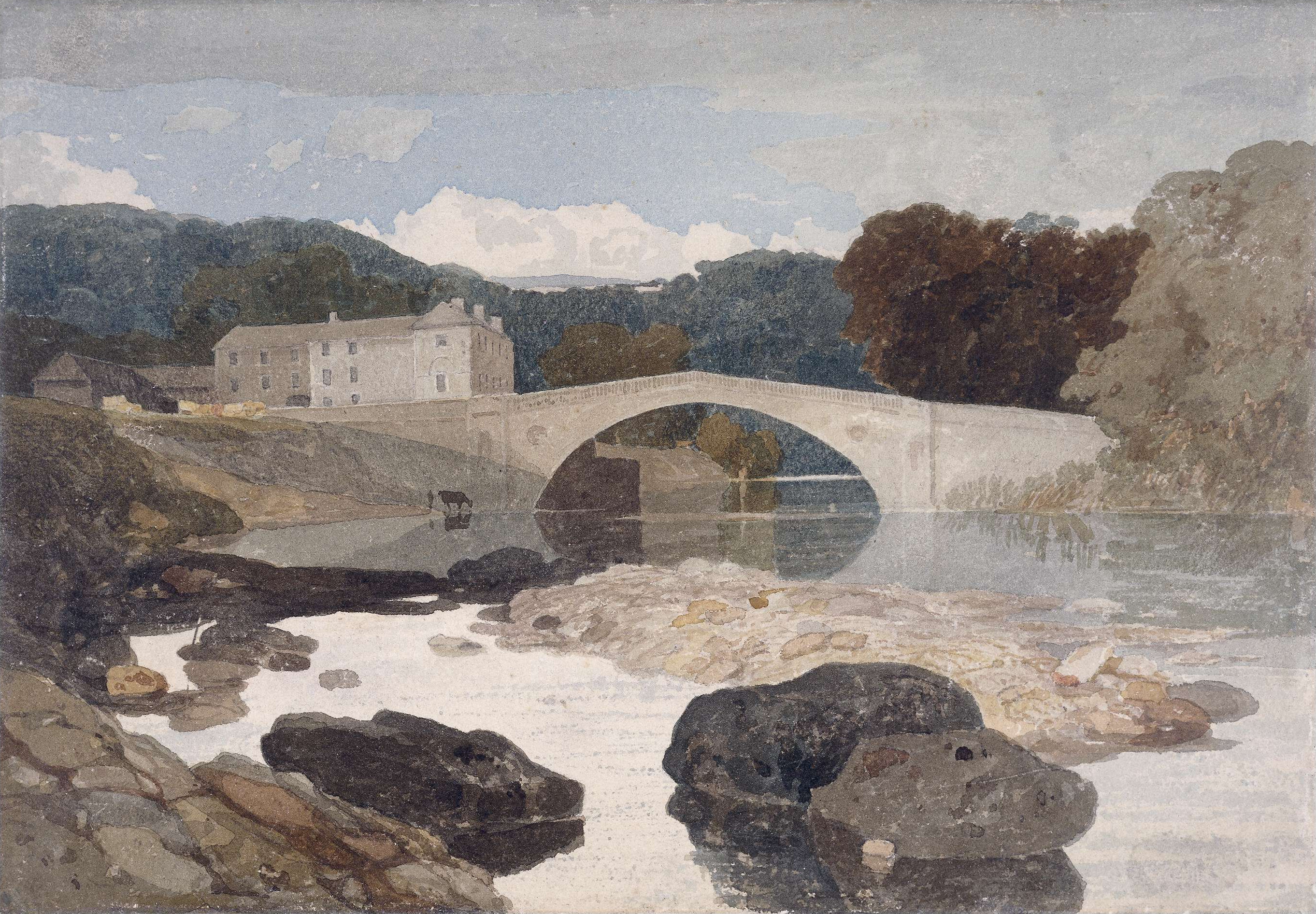
The area through which the Greta flows was a favourite haunt of artists, notably John Sell Cotman[2] and J. M. W. Turner.[3][4][5] There are also many historic sites adjacent to the river including cup and ring carvings on Barningham Moor, an early Norman Keep at Scargill, the site of a Roman shrine on Scargill Moor (now in the Bowes Museum and the 17thC watermill - Brignall Mill (now a holiday cottage).
Settlements (from source)
- Spital[6]
- Bowes
- Gilmondby
- Scargill
- Barningham
- Greta Bridge[7]
Tributaries (from source)
- Ay Gill
- Red Gill
- Burnt Gill
- Sleightholme Beck
- Dry Gill
- White Stone Gill
- Polly Gutter
- Ease Gill
- Rea Gill
- Great Wygill
- Back Gutter
- White Stone Gill
- Frumming Beck
- Dry Gill
- Hug Gill
- Eller Beck
- Thwaite Beck
- Seavy Sike
- Gregory Beck
- Gill Beck
- Stang Gill
- Woodclose Gill
- Tutta Beck
References
- Ekwall, p. 205 * Ekwall, Eilert (1960). Concise Oxford Dictionary of English Place-names. Oxford: Oxford University Press. ISBN 0198691033.
- Brignall Banks on the Greta - John Sell Cotman, Leeds Art Gallery. Retrieved 10 March 2008.
- The Turner Gallery. A Series of One Hundred and Twenty Engravings Archived 11 April 2008 at the Wayback Machine, Antiquarian Maps and Prints. Retrieved 10 March 2008.
- Brignall Church by J.M.W. Turner Archived 15 February 2006 at the Wayback Machine, Antiquarian Maps and Prints. Retrieved 10 March 2008.
- Yorkshire, Brignall Church, after Turner, 1855, Steve Bartrick Antique Prints and Maps. Retrieved 10 March 2008.
- 54.509°N 2.076°W
- 54.513°N 1.865°W
- [[* Ekwall, Eilert (1960). Concise Oxford Dictionary of English Place-names. Oxford: Oxford University Press. ISBN 0198691033.]]
This County Durham location article is a stub. You can help Wikipedia by expanding it. |
На других языках
[de] River Greta (Tees)
Der River Greta ist ein Wasserlauf im County Durham, England. Er entsteht am Zusammenfluss von Yardstone Beck und Ay Gill. Er fließt in östlicher Richtung immer südlich der A66 road. An der Greta Bridge südöstlich von Barnard Castle wendet er sich nach Norden und unterquert die Straße, um kurz danach am sogenannten Meeting of the Waters in den Tees zu münden.- [en] River Greta, Durham
Другой контент может иметь иную лицензию. Перед использованием материалов сайта WikiSort.org внимательно изучите правила лицензирования конкретных элементов наполнения сайта.
WikiSort.org - проект по пересортировке и дополнению контента Википедии