geo.wikisort.org - River
The Ellen is a river in the English county of Cumbria, flowing from Skiddaw in the Northern Fells to the Solway Firth at Maryport. It was historically in the county of Cumberland. It is approximately 25 miles (40.2 km) in length.
| River Ellen | |
|---|---|
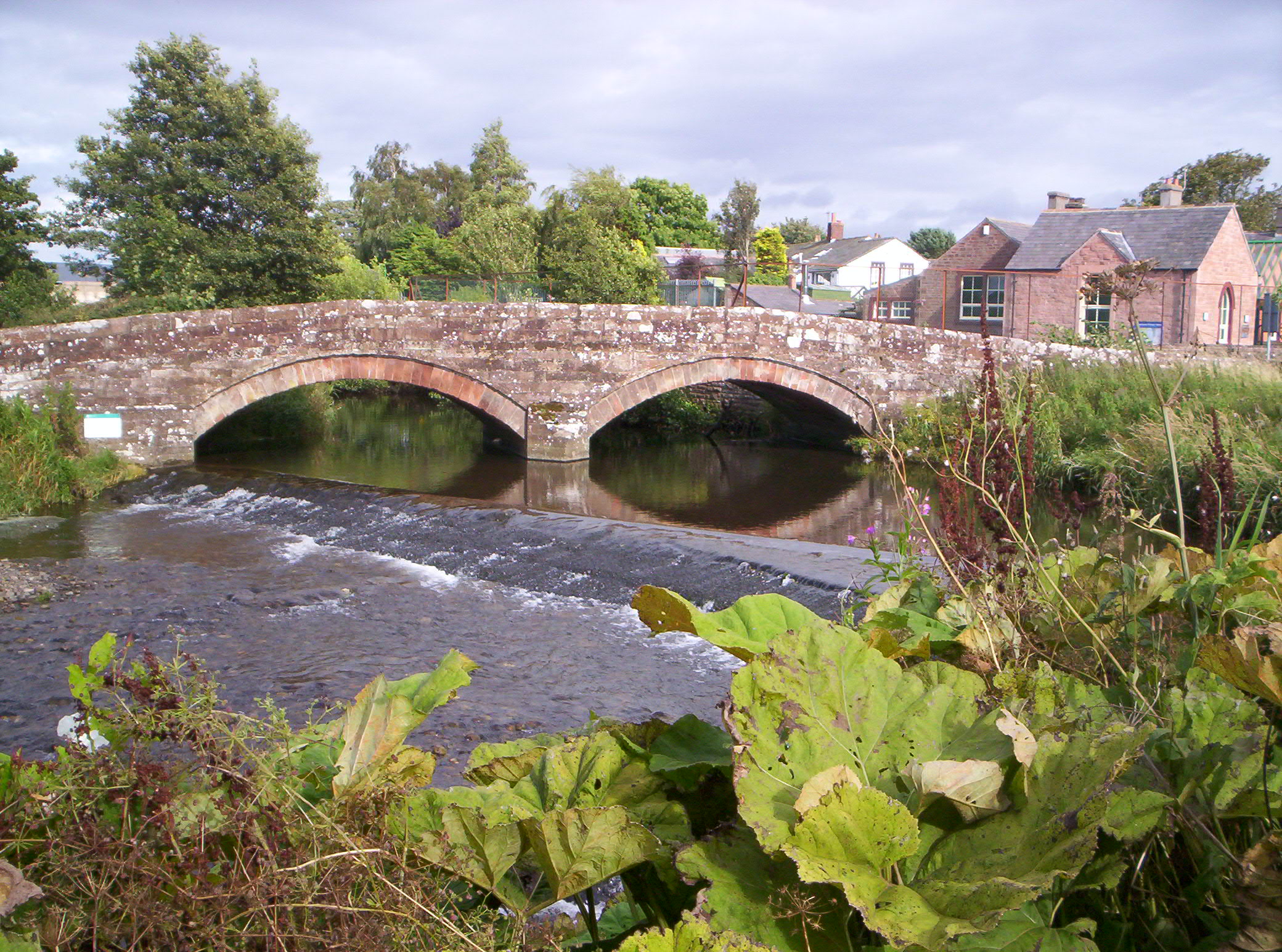
 The mouth of the River Ellen at Maryport harbour. | |
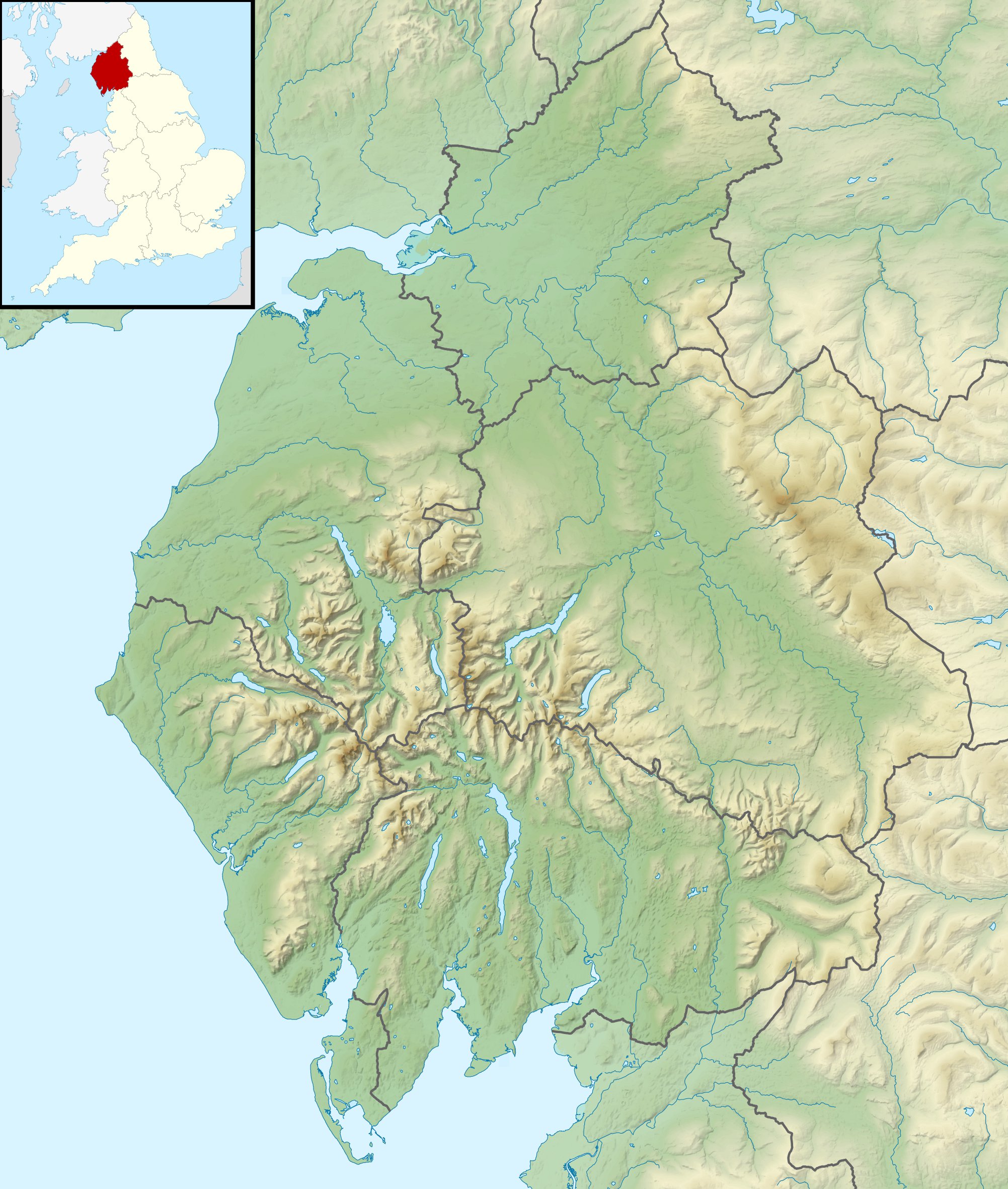 Location of the mouth within Cumbria | |
| Location | |
| Country | United Kingdom |
| Constituent country | England |
| Physical characteristics | |
| Source | Skiddaw massif |
| • location | Keswick, Northern Fells |
| Mouth | Maryport harbour |
• location | Maryport, Solway Firth |
• coordinates | 54.7145°N 3.5013°W |
| Length | 25 mi (40 km) |
| Basin features | |
| Tributaries | |
| • left | Gill Gooden |
| • right | Dash Beck |
Course
The river rises on the Skiddaw massif,[1] and runs in a generally westerly direction, passing Uldale, Ireby, Boltongate, Baggrow and Blennerhasset parish boundary and Aspatria. From there, it continues southwest (instead of more northwesterly) past Oughterside, Gilcrux, Bullgill, Crosby and Dearham, and skirts the grounds of Netherhall School before flowing into the Solway Firth at Maryport.
Fish
The river contains populations of brown trout, eels, lamprey, minnows, salmon, sea trout, and stickleback.[2][3]
Tributaries
- Dash Beck
- Gill Gooden
- Row Beck
References
- "West Cumbria Rivers Trust - Ellen". Retrieved 21 February 2015.
- "Lake District Fishing - River Ellen". Retrieved 21 February 2015.
- "West Cumbria Rivers Trust - Ellen". Retrieved 21 February 2015.
This Cumbria location article is a stub. You can help Wikipedia by expanding it. |
На других языках
[de] River Ellen
Der River Ellen ist ein Fluss in Cumbria, England. Der River Ellen entsteht am Westhang von Great Sca Fell und Little Sca Fell in den Uldale Fells im Lake-District-Nationalpark. Der Fluss fließt zunächst in nördlicher Richtung, bis er südlich der Ortschaft Boltongate eine generell westliche Richtung einschlägt, die er bis zu seiner Mündung in den Solway Firth in Maryport beibehält.- [en] River Ellen
Другой контент может иметь иную лицензию. Перед использованием материалов сайта WikiSort.org внимательно изучите правила лицензирования конкретных элементов наполнения сайта.
WikiSort.org - проект по пересортировке и дополнению контента Википедии