geo.wikisort.org - River
The River Caldew is a river running through Cumbria in England. [lower-alpha 1] The river rises high up on the northern flanks of Skiddaw, in the Northern Fells area of the English Lake District, and flows in a northerly direction until it joins the River Eden on the north side of the city of Carlisle. [1] [lower-alpha 2]
| Caldew | |
|---|---|
 Caldew near to Welton | |
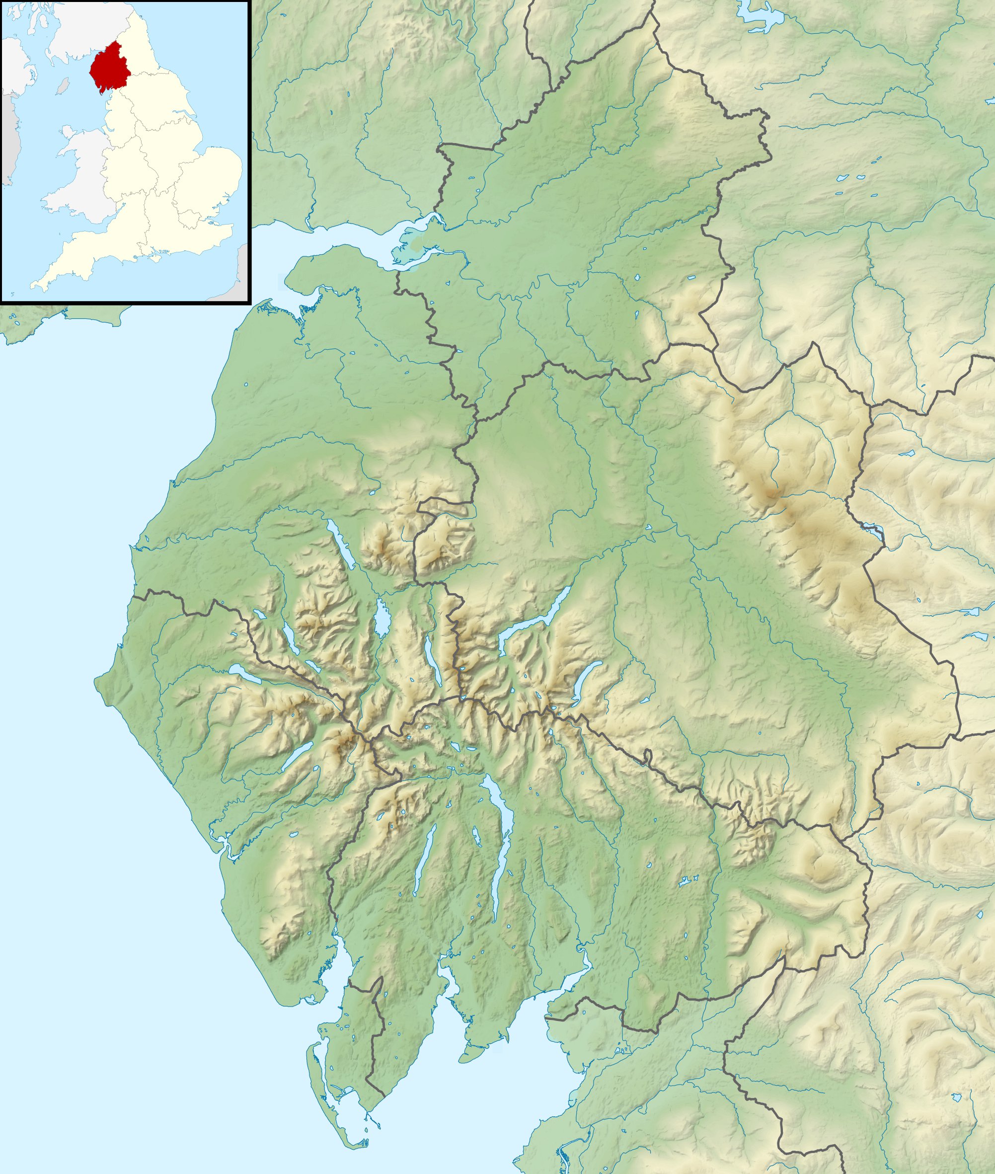 Location within Cumbria | |
| Location | |
| Country | United Kingdom |
| Part | England |
| Physical characteristics | |
| Source | |
| • location | high up on Skiddaw, between its summit and Sale How |
| Mouth | |
• location | confluence with River Eden |
• coordinates | 54.9028°N 2.9436°W |
| Discharge | |
| • location | Holm Hill |
| • average | 4.5 m3/s (160 cu ft/s) |
| Basin features | |
| Tributaries | |
| • right | Roe Beck |
The Cumbria Way follows most of the course of the river, from its early stages in the Skiddaw Forest to Carrock Fell and again from Caldbeck through to the centre of Carlisle. [lower-alpha 3] [2]
Etymology
" Probably 'the cold river', from OE 'cald' and OE 'éa' 'river', influenced by OFr 'ewe' 'water'....However, the possibility that this is a Brit.[ish] name meaning 'swift river' from the same root as 'Calder' cannot be ruled out altogether."[3] (OE=Old English, OFr=Old French, Brit.=British language).
Source of river
The River Caldew's source is high up on Skiddaw, between the summit and Sale How. [4]
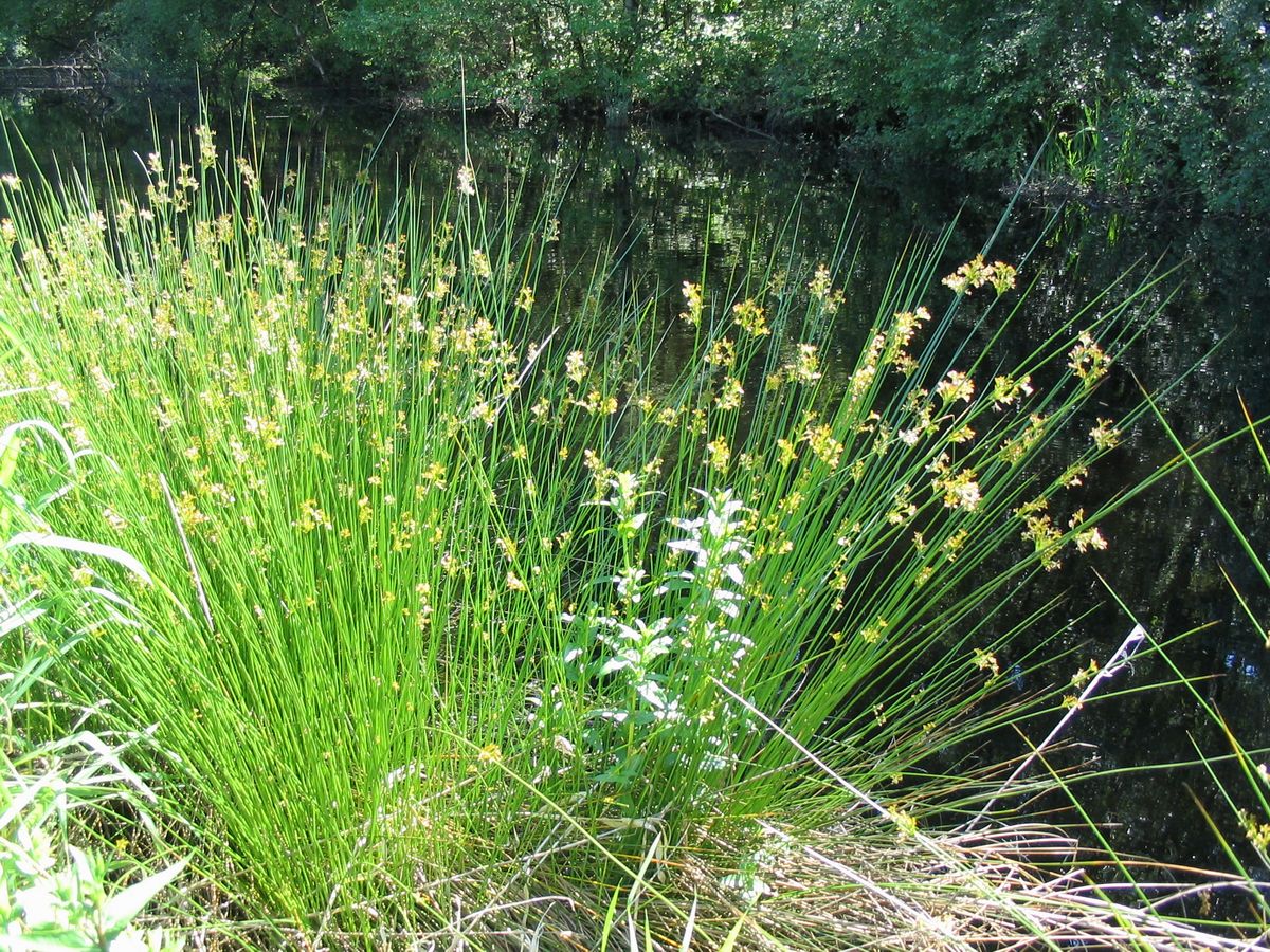
Candleseaves Bog is an area of wetland between Skiddaw and Great Calva that contributes to the flow of the river in its early stages. [5] [lower-alpha 4]
During the Middle Ages, the common rush (Juncus effusus) was important for making rushlights. In Cumbria sedges and rushes were known as " seaves " , hence the origin of the name " Candleseaves " . [lower-alpha 6]
Course of river
From its source in the Skiddaw Forest the river runs east through a valley between Bowscale Fell and Carrock Fell. At Hutton Roof, the river emerges from the dale and turns sharply northwards, a course taking it through the settlements of Hesket Newmarket, Sebergham, Buckabank and Dalston. At Buckabank the river flows over a weir that provides a mill stream to the cotton mill and there is a salmon ladder. Flowing under Hawksdale Bridge at Bridge End and Dalston's two other bridges (Jubilee Bridge and the White Bridge) the river then flows towards Cummersdale where another weir used to exist above the now modernised textile mill.
In 2016 the floodwaters of the swollen river Caldew washed away the eighteenth-century Bell Bridge at Sebergham.
The river enters the suburbs of Carlisle north of Cummersdale flowing over a weir in Denton Holme at the site of a large Victorian mill. The river flows through the city from Denton Holme beneath west walls and then the Caldew skirts around the castle before emptying into the River Eden opposite Stanwix.
See also
References
Notes
- Historically, the county watered by the Caldew was Cumberland
- The map shows the confluence of the River Caldew with the River Eden. The site of the Roman fort of Stanwix ( Petriana ) on Hadrian's Wall, shown to the north of the River Eden, is designated as a World Heritage Site (SHADED POLYGON).
- See Cumbria Way > Stage 5: Caldbeck to Carlisle
- Candleseaves Bog is designated as Blanket Bog by Natural England ( Use Table of Contents > Habitats and Species > Habitats > Wetland )
- WiKtionary : < seave > From Old Norse sef, whence also Danish siv, Icelandic sef and Swedish säv (“club-rush”).
- Local dialect ' seave ' : ( " sedge, rush " ) [lower-alpha 5]
- See List of rivers of England > Flowing into the Solway Firth > Eden catchment
Citations
- "MAGiC MaP : Carlisle – mouth of River Caldew ( Use Table of Contents for Colour Mapping )". Natural England - Magic in the Cloud.
- Harvey Map XT40 2016, pp. 1.
- Whaley, Diana (2006). A dictionary of Lake District place-names. Nottingham: English Place-Name Society. pp. lx, 423 p.64. ISBN 0904889726.
- "MAGiC MaP : Skiddaw – source of River Caldew ( Use Table of Contents for Colour Mapping )". Natural England - Magic in the Cloud.
- "MAGiC MaP : Candleseaves Bog ( Use Table of Contents for Colour Mapping )". Natural England - Magic in the Cloud.
Sources
- Harvey Map XT40 (2016). Cumbria Way XT40 (Route Map). Harvey Map Services Ltd. ISBN 978-185137424-3.
External links
 Media related to River Caldew at Wikimedia Commons
Authority control | |
|---|---|
| General |
|
| National libraries | |
На других языках
[de] River Caldew
Der River Caldew ist ein Fluss im Lake District, Cumbria, England.- [en] River Caldew
[ru] Колдью
Колдью (англ. Caldew) — река в Великобритании. Протекает на северо-западе Англии в графстве Камбрия.Другой контент может иметь иную лицензию. Перед использованием материалов сайта WikiSort.org внимательно изучите правила лицензирования конкретных элементов наполнения сайта.
WikiSort.org - проект по пересортировке и дополнению контента Википедии