geo.wikisort.org - River
The Pomme de Terre River is a 125-mile-long (201 km)[3] tributary of the Minnesota River in western Minnesota in the United States. Via the Minnesota River, it is part of the watershed of the Mississippi River, draining an area of 875 square miles (2,270 km2) in an agricultural region. The headwaters region of the Pomme de Terre River is the northernmost extremity of the Minnesota River's watershed.[6]
| Pomme de Terre River | |
|---|---|
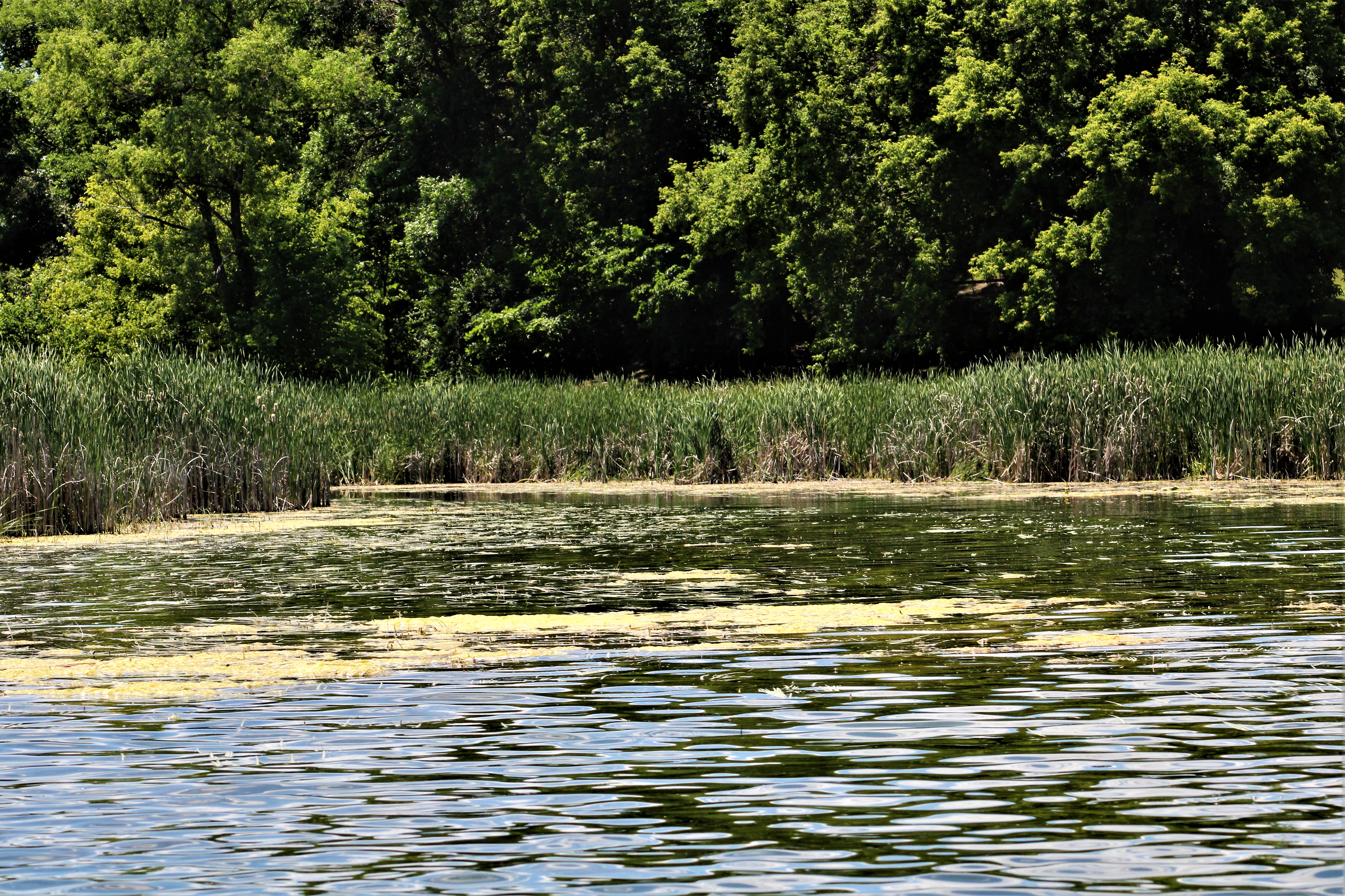
 The Pomme de Terre River in Appleton in 2007 | |
 | |
| Location | |
| Country | United States |
| State | Minnesota |
| Physical characteristics | |
| Source | Stalker Lake |
| • location | Tordenskjold Township, Otter Tail County |
| • coordinates | 46°11′55″N 95°51′20″W[1] |
| • elevation | 1,283 ft (391 m)[2] |
| Mouth | Minnesota River |
• location | Appleton Township, Swift County |
• coordinates | 45°10′33″N 96°05′13″W[1] |
• elevation | 935 ft (285 m)[2] |
| Length | 124.5 mi (200.4 km)[3] |
| Basin size | 875 sq mi (2,270 km2)[4] |
| Discharge | |
| • location | Appleton[5] |
| • average | 132 cu ft/s (3.7 m3/s)[5] |
| • minimum | 0 cu ft/s (0 m3/s) |
| • maximum | 8,890 cu ft/s (252 m3/s) |
Etymology
The name Pomme de Terre is French and means literally "soil apple," usually meaning "potato." In this case, the river was named by early French explorers for a different root vegetable, the potato-like prairie turnip (Psoralea esculenta), which was commonly eaten by the Sioux.[7][8][9]
Geography
The Pomme de Terre River issues from Stalker Lake in Tordenskjold Township, approximately three miles (5 km) northeast of Dalton in southern Otter Tail County, and flows generally southwardly through eastern Grant and Stevens Counties and western Swift County, through the cities of Barrett, Morris, and Appleton. It flows into Marsh Lake on the Minnesota River in southwestern Swift County, approximately four miles (6 km) southwest of Appleton. Marsh Lake was formed by a backup of water caused by the Pomme de Terre's delta, and is presently maintained by a manmade dam.[8][10]
In its upper course the river flows through a morainic region of numerous lakes, in a course characterized by meadows and wooded hills, as well as marshy stretches near areas where the river passes through lakes. The largest lakes on the river include Ten Mile Lake in Otter Tail County; Pomme de Terre and Barrett Lakes in Grant County; and Perkins Lake in Stevens County. The water levels of several lakes on the river's course are maintained by small dams. Downstream of Morris, the river flows on till plains between eroding banks and becomes increasingly turbid. According to the Minnesota Pollution Control Agency, approximately 81% of the land in the Pomme de Terre River's watershed is used for agriculture; of this area, half is used for the cultivation of corn and soybeans, and 43% for that of hay and small grains.[8][10][11]
Flow rate
At the United States Geological Survey's stream gauge in Appleton, eight miles (13 km) upstream from the river's mouth, the annual mean flow of the river between 1931 and 2005 was 132 cubic feet per second (4 m³/s). The highest recorded flow during the period, resulting in part from a dam failure, was 8,890 ft³/s (252 m³/s) on April 7, 1997. Readings of zero were recorded on numerous days during several years.[5]
See also
- List of rivers in Minnesota
References
- "Geographic Names Information System entry for Pomme de Terre River (Feature ID #649622)". Geographic Names Information System. Retrieved 2007-06-14.
- Google Earth elevation for GNIS coordinates. Retrieved on 2007-06-14.
- U.S. Geological Survey. National Hydrography Dataset high-resolution flowline data. The National Map, accessed October 5, 2012
- "Pomme de Terre River Major Watershed". Minnesota River Basin Data Center. Minnesota State University, Mankato. 2000-06-06. pp. General Description. Retrieved 2007-06-14.
- Mitton, G. B.; K. G. Guttormson; G. W. Stratton; E. S. Wakeman. "Water Resources Data in Minnesota, Water Year 2005 Annual Report". United States Geological Survey. pp. Pomme de Terre River at Appleton, MN. Retrieved 2007-06-14.
- "Watersheds of the Minnesota River Basin". Minnesota Pollution Control Agency. 2005-12-01. Archived from the original on 2007-02-05. Retrieved 2007-06-14.
- Upham, Warren. "Minnesota Place Names: A Geographical Encyclopedia". Minnesota Historical Society. pp. Grant County: Pomme de Terre Township. Archived from the original on 2007-06-20. Retrieved 2007-06-19.
- Waters, Thomas F. (2006). "The Minnesota: Corridor West". The Streams and Rivers of Minnesota. Minneapolis: University of Minnesota Press. pp. 304–323. ISBN 0-8166-0960-8.
- "Basin Overview". Minnesota River Basin Data Center. Minnesota State University, Mankato. 2004-11-15. pp. Place Names: Pomme de Terre. Retrieved 2007-06-19.
- Minnesota Atlas & Gazetteer. Yarmouth, Me.: DeLorme. 1994. pp. 36, 43–44, 51–52. ISBN 0-89933-222-6.
- "Watersheds of the Minnesota River Basin". Minnesota Pollution Control Agency. 2005-12-01. pp. Minnesota River Basin: Pomme de Terre River Watershed. Archived from the original on 2007-02-05. Retrieved 2007-06-14.
External links
| Authority control |
|
|---|
На других языках
[de] Pomme de Terre River (Minnesota)
Der Pomme de Terre River ist ein 170 Kilometer langer Zufluss des Minnesota River im Westen des US-Bundesstaates Minnesota. Über den Minnesota River ist er Teil des Einzugsgebietes des Mississippi River. Der Fluss entwässert ein Gebiet von 2.266 km² in einer landwirtschaftlich geprägten Region. Die Quellregion des Pomme de Terre River ist am nördlichsten Punkt des Einzugsgebietes des Minnesota Rivers.[5]- [en] Pomme de Terre River (Minnesota)
[es] Río Pomme de Terre (Minnesota)
El río Pomme de Terre (en inglés, 'Pomme de Terre River', que significa literalmente, en francés, «río Patata») discurre por el estado de Minnesota, en los Estados Unidos, es un afluente del río río Minnesota, un sub-afluente del río Misisipí.Другой контент может иметь иную лицензию. Перед использованием материалов сайта WikiSort.org внимательно изучите правила лицензирования конкретных элементов наполнения сайта.
WikiSort.org - проект по пересортировке и дополнению контента Википедии