geo.wikisort.org - River
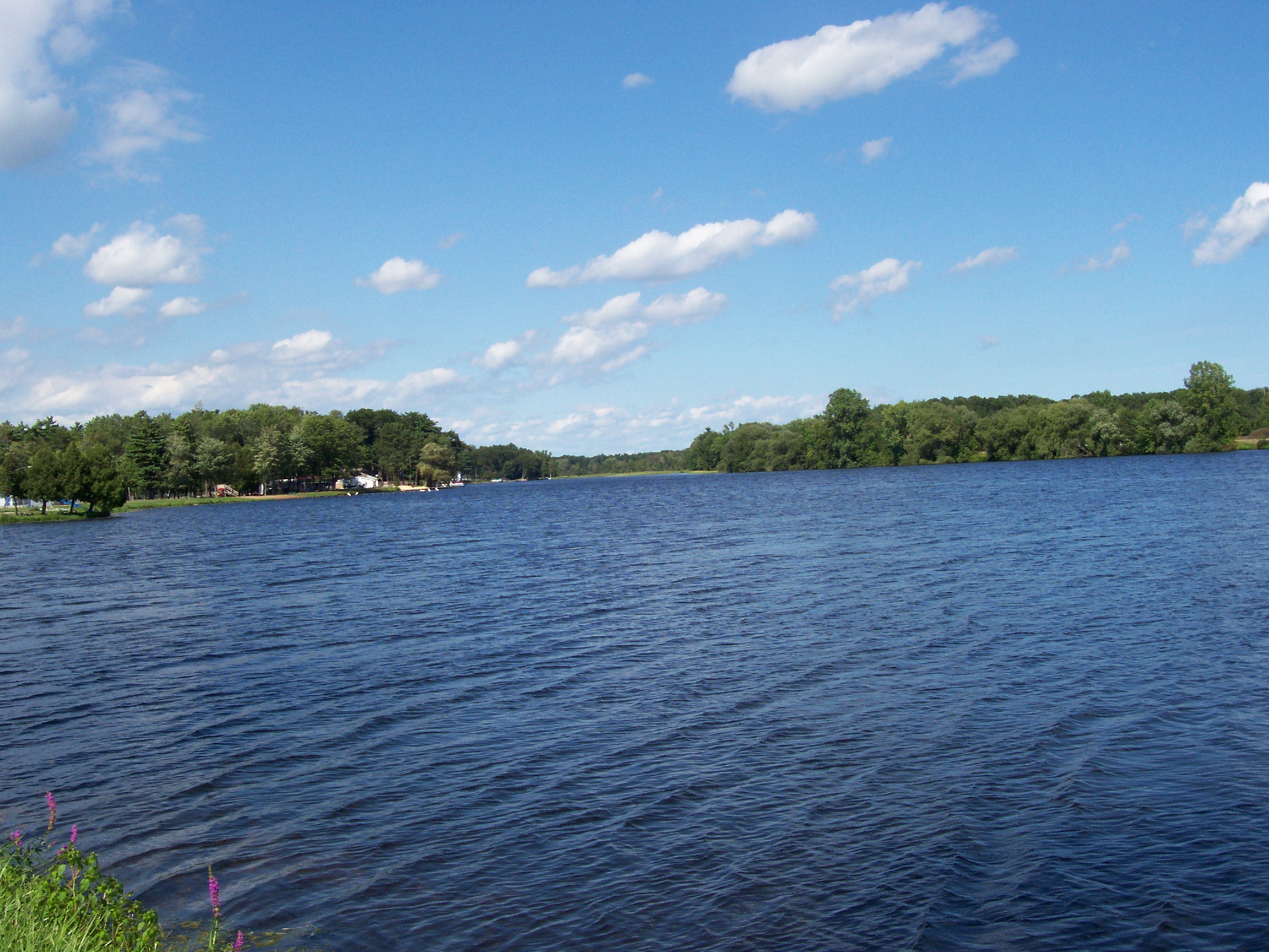
The Peshtigo River is a 136-mile-long (219 km)[1] tributary of Green Bay in the U.S. state of Wisconsin. The Peshtigo Fire happened in the river's vicinity, and some survivors used the river for refuge from the flames. A section of whitewater on the river called the Roaring Rapids is well known in the region. Further downstream there are two dams known as Caldron Falls Dam and High Falls Dam before collecting the Thunder River.

Geography
The Peshtigo River is formed in Forest County and flows southeasterly towards the bay of Green Bay, spending most of its time winding through Marinette County.[2][3]
History
It shares its name with the city of Peshtigo, which was destroyed by the Peshtigo Fire on October 8, 1871. The fire was the deadliest fire in the history of the United States. According to stories of survivors, many people fled for the river to escape the inferno.[4][5]
See also
- List of Wisconsin rivers
Notes
- U.S. Geological Survey. National Hydrography Dataset high-resolution flowline data. The National Map, accessed December 19, 2011
- USGS Real-Time Water Data for USGS 04067958 PESHTIGO RIVER NEAR WABENO, WI
- The Peshtigo River
- firebooks.htm
- WER: The Great Peshtigo Fire [3]
| Authority control: National libraries |
|---|
На других языках
[de] Peshtigo River
Der Peshtigo River ist ein Zufluss der Green Bay im US-Bundesstaat Wisconsin.- [en] Peshtigo River
Другой контент может иметь иную лицензию. Перед использованием материалов сайта WikiSort.org внимательно изучите правила лицензирования конкретных элементов наполнения сайта.
WikiSort.org - проект по пересортировке и дополнению контента Википедии