geo.wikisort.org - River
The Pasión River (Spanish: Río de la Pasión, Spanish pronunciation: [ˈri.o ðe la paˈsjon]) is a river located in the northern lowlands region of Guatemala. The river is fed by a number of upstream tributaries whose sources lie in the hills of Alta Verapaz. These flow in a general northerly direction to form the Pasión, which then tends westwards to meet up with the Salinas River at 16°28′52″N 90°32′39″W. At this confluence the greater Usumacinta River is formed, which runs northward to its eventual outlet in the Gulf of Mexico.[1] The Pasión River's principal tributaries are the San Juan River, the Machaquila River, and the Cancuén River.
| Pasión River | |
|---|---|
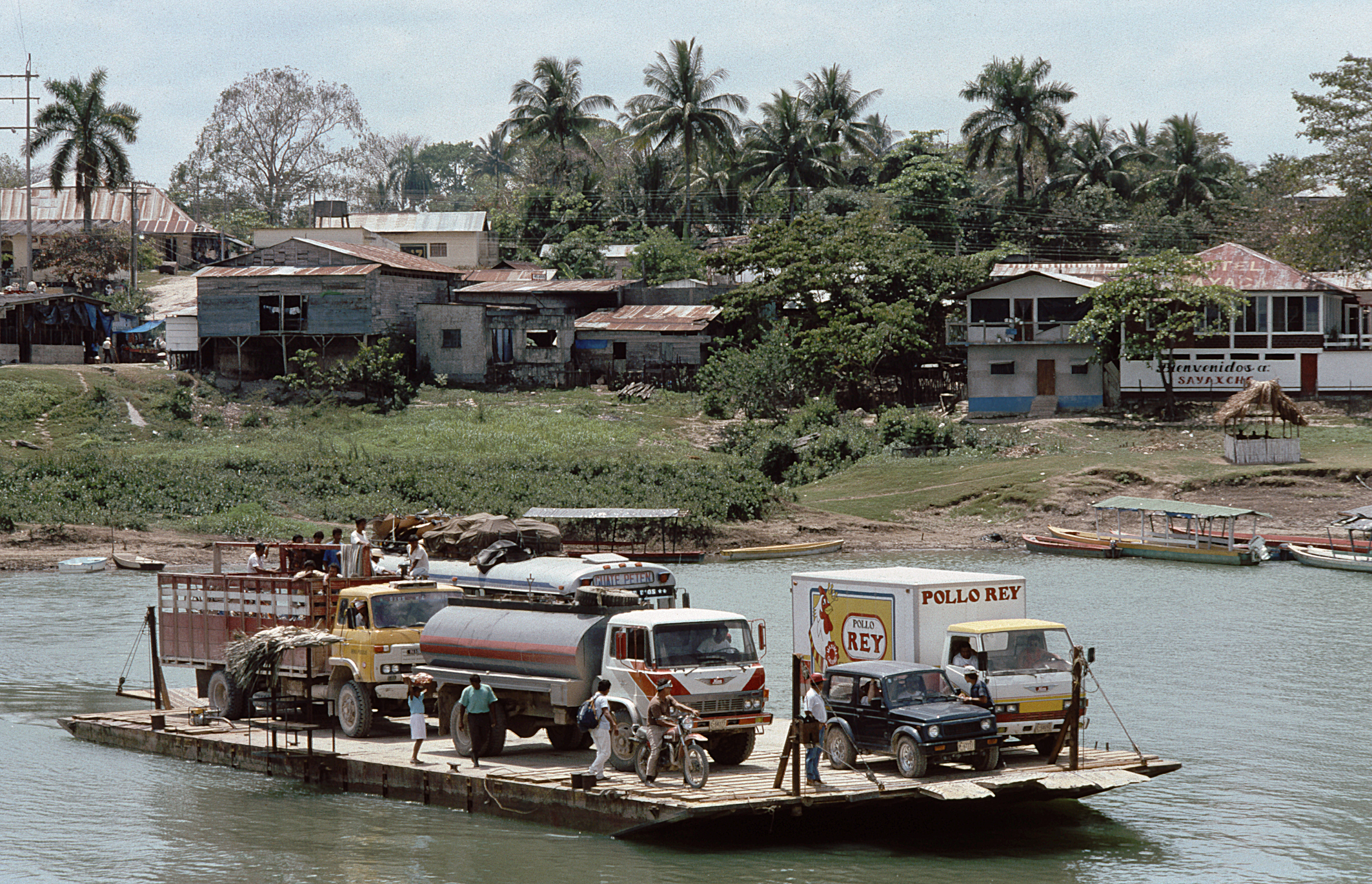 Car ferry crossing Río la Pasión at Sayaxché (1994) | |
| Native name | Río de la Pasión (Spanish) |
| Location | |
| Country | Guatemala |
| Physical characteristics | |
| Source | Río Santa Isabel o Cancuen |
| • location | Petén Department, Guatemala |
| • coordinates | 15.990152°N 89.981320°W |
| • elevation | 200 m (660 ft) |
| Mouth | Usumacinta River |
• location | Esperanza |
• coordinates | 16.480881°N 90.543095°W |
| Length | 353.9 km (219.9 mi)[1] |
| Basin size | 12,156 km2 (4,693 sq mi)[1] |
| Discharge | |
| • average | 322.8 m3/s (11,400 cu ft/s)[1] |
The riverine drainage system of the Pasión and its tributaries covers an area of over 5,000 square kilometres (1,900 sq mi) and forms a watershed for a substantial portion of the present-day Guatemalan department of Petén's western half.[2][lower-alpha 1]
The Pasión river basin is recognized as an archaeological region or zone, and contains a number of archaeological sites of the pre-Columbian Maya civilization, which to an extent shared some commonalities in Maya architectural style, political history and glyphic conventions. Maya ceremonial and urban centers located within the region include Dos Pilas, Tamarindito, Altar de Sacrificios, Aguateca, Seibal and Machaquila.[3]
Pollution
On June 6, 2015, residents around La Pasión River reported finding of a high count of dead fish floating along the river.[4] On June 11, 2015, Guatemala's authorities inspected palm oil company "Reforestadora de Palmas de Petén, S.A." (REPSA), located in Sayaxché, and found traces of Malathion in the company's tributaries leading to La Pasión River.[5] Tranquilino Xojalaj, administrator of REPSA, declared that heavy rain caused the treatment wells to flood into the river,[6] however the company denied responsibility, stating that they do not use Malathion as a pesticide.[7]
By June 15, 2015, dead fish had been found over 105 kilometres (65 mi) downstream.[8] The pollution might have entered the Usumacinta River, which travels all the way to México.[9]
See also
- Petexbatún
Notes and references
- INSIVUMEH data suggest the river basin covers a territory of 12,156 square kilometres (4,693 sq mi).[1]
References
- "Principales ríos de Guatemala". INSIVUMEH (in Spanish). Archived from the original on 2 July 2008.
- Houston 1993, p. 11.
- Houston 1993, pp. 10–14.
- "Palma Africana: La Farsa de la Responsabilidad Social Empresarial". Cmiguate.org (in Spanish). 11 June 2015. Retrieved 18 June 2015.
- "Hallan plaguicida en aguas del río La Pasión". www.s21.com.gt (in Spanish). Siglo21.com.gt. 11 June 2015. Retrieved 18 June 2015.
- Escobar, R.; Alvarado, H.; Alvarez, C. (11 June 2015). "Mortandad de peces abarca 105 kilómetros" (in Spanish). Prensalibre.com. Retrieved 18 June 2015.
- "Repsa niega responsabilidad en contaminación" (in Spanish). Siglo21.com.gt. 11 June 2015. Retrieved 18 June 2015.
- Escobar, R.; Alvarado, H.; Alvarez, C. (11 June 2015). "Mortandad de peces abarca 105 kilómetros" (in Spanish). Prensalibre.com. Retrieved 18 June 2015.
- Paredes, Fredy (6 May 2015). "Empresa guatemalteca contamina al río Usumacinta en México" (in Spanish). Diariodelatarde.com.mx. Retrieved 18 June 2015.
Bibliography
- Houston, Stephen D. (1993). Hieroglyphs and History at Dos Pilas: Dynastic Politics of the Classic Maya. Austin: University of Texas Press. pp. 4 and 10. ISBN 0-292-73855-2.
| Authority control |
|
|---|
На других языках
[de] Río La Pasión
Der rund 345 Kilometer lange Río La Pasión hat zwei Quellflüsse – den Río Machaquilá und den Río Cancuén. Er bildet seinerseits – zusammen mit dem Río Salinas – einen der beiden Quellflüsse des Río Usumacinta und entwässert weite Gebiete des südlichen Petén-Tieflandes von Guatemala.- [en] Pasión River
[es] Río La Pasión
El río La Pasión es un río de 345 km que discurre por el norte de Guatemala.[1] El río nace en las montañas en el norte de Alta Verapaz, bajo el nombre de río Chajmaic, para luego cambiar al de Sebol y finalmente al de La Pasión; es alimentado por un gran número de afluentes que drenan una parte importante del departamento de Petén. El río torna al oeste para confluir con el río Salinas, (16°28′52″N 90°32′39″O) formando el río Usumacinta, que sigue en dirección del norte para desembocar en el golfo de México.[1][it] Río de la Pasión
Il Río de la Pasión è un fiume del nord del Guatemala.[ru] Ла-Пасьон (приток Усумасинты)
Ла-Пасьон — река в Центральной Америке, протекающая на севере Гватемалы в регионах Альта-Верапас и Эль-Петен[1]. Сливаясь с рекой Салинас образует Усумасинту[1]. Общая протяжённость реки составляет 345 километров[2]. Площадь её водосборного бассейна насчитывает 11847,72 км²[3] (по другим данным — 12146,5 км²[4]). Средний расход воды — 322 м³/с.[источник не указан 382 дня]Другой контент может иметь иную лицензию. Перед использованием материалов сайта WikiSort.org внимательно изучите правила лицензирования конкретных элементов наполнения сайта.
WikiSort.org - проект по пересортировке и дополнению контента Википедии