geo.wikisort.org - River
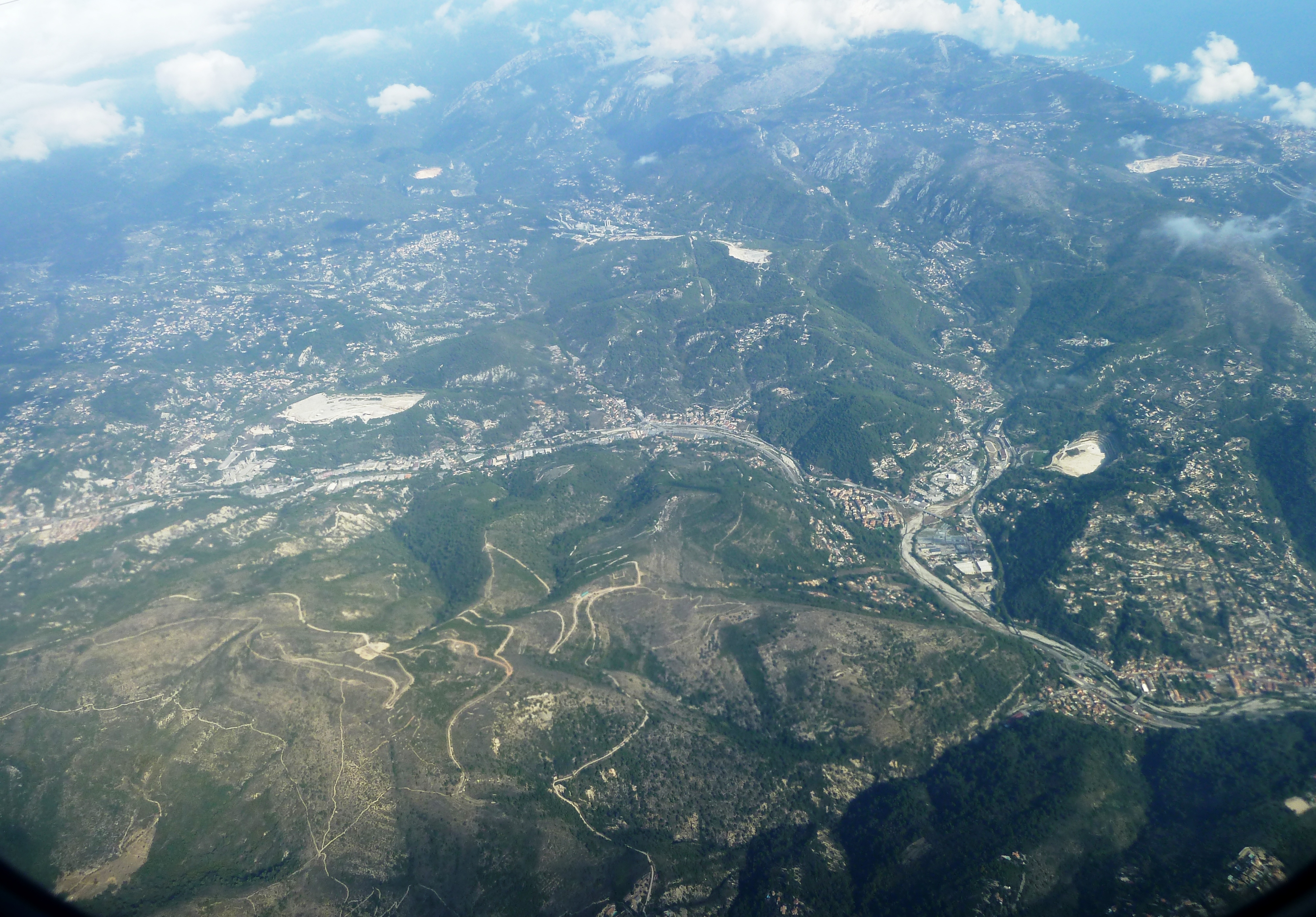
The Paillon (Nissard Occitan: Palhon) is a coastal river of the Alpes-Maritimes that flows into the Mediterranean Sea in Nice, near the old district. It is 35.8 km (22.2 mi) long.[1] Its drainage basin is 258 km2 (100 sq mi).[2] Its source is north of Lucéram. It flows generally south, through L'Escarène, Peillon, Drap (where it meets its main tributary Paillon de Contes), La Trinité, and finally Nice.
| Paillon | |
|---|---|
 The Paillon in Contes | |
 | |
| Location | |
| Country | France |
| Physical characteristics | |
| Mouth | Mediterranean Sea |
• coordinates | 43.6945°N 7.2679°E |
| Length | 36 km (22 mi) |
| Basin size | 258 km2 (100 sq mi) |

Being a typical Mediterranean river with low water level throughout the year but with the autumn and winter rains can turn violent with damaging floods.
The region of the Paillon and the Paillon de Contes is called the pays des Paillons. The river course was covered and converted into a subterranean stream for its last few kilometers in the city of Nice starting at Rue Georges Chapel to its mouth at Plage de Carras. Two major buildings built over the stream are the LGT Lyceé Guillaume Apollinaire Nice High School the Palais des Congrès Acropolis.
References
- Sandre. "Fiche cours d'eau - Le Paillon (Y65-0400)".
- Bassin versant : Paillon (Le), Observatoire Régional Eau et Milieux Aquatiques en PACA
Authority control | |
|---|---|
| General |
|
| National libraries | |
| Other |
|
This Alpes-Maritimes geographical article is a stub. You can help Wikipedia by expanding it. |
На других языках
[de] Paillon
Der Paillon ist ein Küstenfluss in Frankreich, der im Département Alpes-Maritimes in der Region Provence-Alpes-Côte d’Azur verläuft. Er entspringt unter dem Namen Ruisseau de Bomerei im Gemeindegebiet von Lucéram, entwässert generell in südwestlicher Richtung und mündet nach rund 36 Kilometern am südlichen Stadtrand von Nizza in das Mittelmeer. Im Mündungsbereich verläuft der Fluss weitgehend unterirdisch.- [en] Paillon
[it] Paglione
Il Paglione (in francese Paillon, in occitano ed in dialetto nizzardo Palhon secondo la norma classica della lingua occitana o Palhoun secondo la norma mistraliana) è un fiume costiero delle Prealpi mediterranee, dalle caratteristiche torrentizie, che si getta nella baia degli Angeli a Nizza, sul lungomare della passeggiata degli Inglesi (Promenade des Anglais).Другой контент может иметь иную лицензию. Перед использованием материалов сайта WikiSort.org внимательно изучите правила лицензирования конкретных элементов наполнения сайта.
WikiSort.org - проект по пересортировке и дополнению контента Википедии