geo.wikisort.org - River
The Neajlov is a river in Romania. It is a right tributary of the river Argeș,[1][2] which it meets near Gostinari, Giurgiu County.[3] It rises from the higher Romanian Plain, east of Pitești. It is 188 km (117 mi) long and its basin area is 3,718.5 km2 (1,435.7 sq mi).[4]
| Neajlov | |
|---|---|
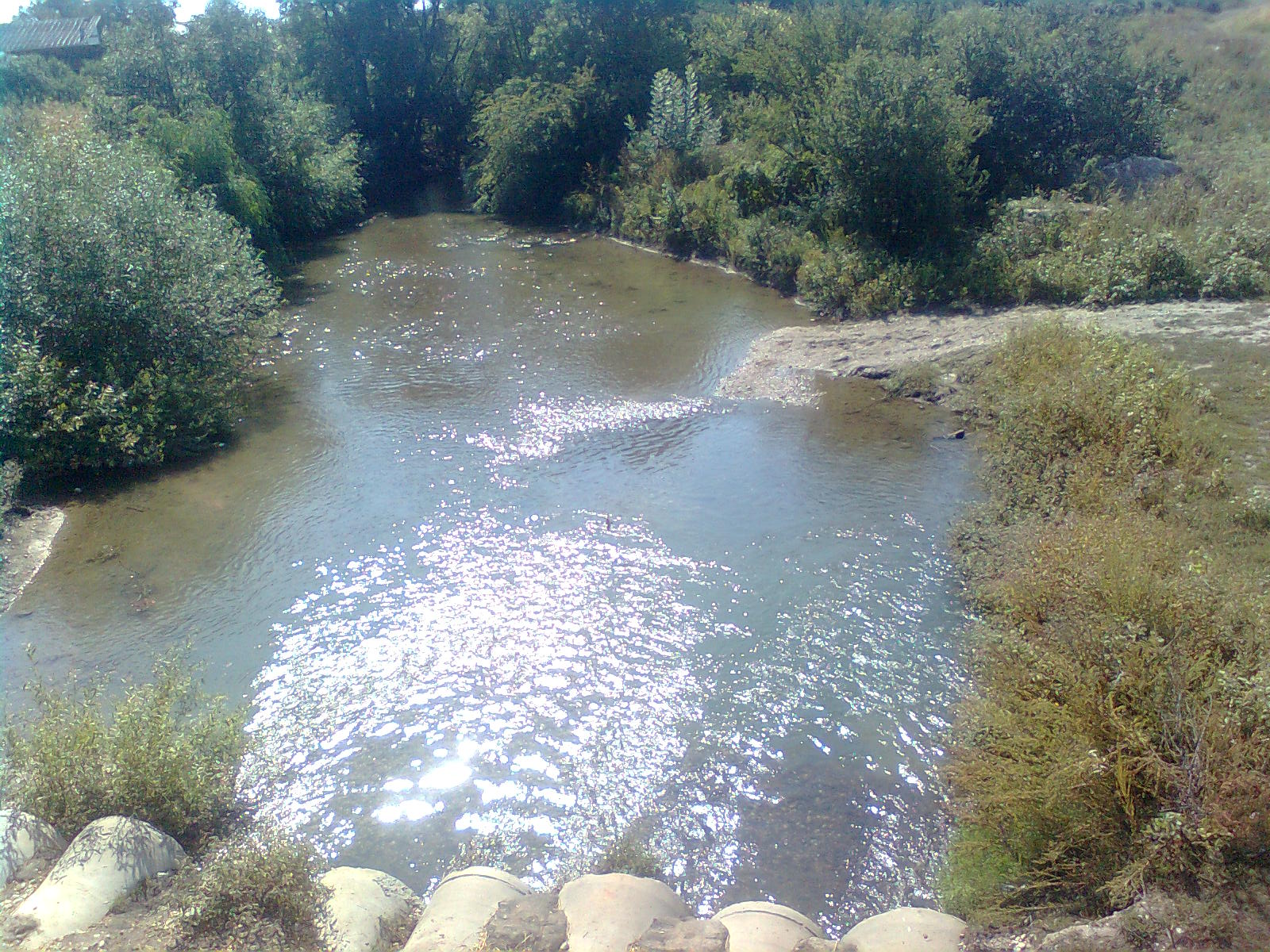 Neajlov near Dealu, Giurgiu | |
 | |
| Location | |
| Country | Romania |
| Counties | Argeș, Dâmbovița, Giurgiu |
| Physical characteristics | |
| Mouth | Argeș |
• location | Comana |
• coordinates | 44°11′14″N 26°12′22″E |
| Length | 188 km (117 mi) |
| Basin size | 3,718.5 km2 (1,435.7 sq mi) |
| Basin features | |
| Progression | Argeș→ Danube→ Black Sea |
| Tributaries | |
| • right | Dâmbovnic, Câlniștea |
Location
The river basin is located in the southern part of Romania, the geographic range being 24°51’12”-26°13’52” E longitude and 43°55’31”-44°49’32” N latitude.
Towns and villages
The following towns and villages are situated along the river Neajlov, from source to mouth: Oarja, Morteni, Petrești, Uliești, Corbii Mari, Vânătorii Mici, Crevedia Mare, Clejani, Bulbucata, Iepurești, Singureni, Călugăreni, Comana.
Tributaries
The following rivers are tributaries to the river Neajlov (from source to mouth):[2]
Left: Neajlovel (I), Neajlovel (II), Izvor, Ilfovăț
Right: Valea Strâmbă, Copăcel, Holboca, Baracu, Chiricanu, Dâmbovnic, Bălăria, Vârtop, Câlniștea, Dadilovăț, Gurban
Lakes
- Lake Comana
History
The Battle of Călugăreni from August 1595 between the Wallachian army led by Michael the Brave and the Ottoman army led by Koca Sinan Pasha, was fought on the banks of the Neajlov.
References
- "Planul național de management. Sinteza planurilor de management la nivel de bazine/spații hidrografice, anexa 7.1" (PDF, 5.1 MB). Administrația Națională Apele Române. 2010. pp. 785–787.
- Atlasul cadastrului apelor din România. Partea 1 (in Romanian). Bucharest: Ministerul Mediului. 1992. pp. 332–336. OCLC 895459847. River code: X.1.23
- Neajlov (jud. Giurgiu), e-calauza.ro
- Angheluță Vădineanu, Carmen Postolache, Georgia Cosor, Teodora Pălărie, Costel Negrei, Magdalena Bucur - Case Study Report - The Neajlov Catchment
На других языках
[de] Neajlov
Der Neajlov ist ein rechter Nebenfluss des Argeș in Rumänien.- [en] Neajlov
Другой контент может иметь иную лицензию. Перед использованием материалов сайта WikiSort.org внимательно изучите правила лицензирования конкретных элементов наполнения сайта.
WikiSort.org - проект по пересортировке и дополнению контента Википедии