geo.wikisort.org - River
The Moosalb (also Moosalbe) is a stream in West Palatinate in the German state of Rhineland-Palatinate. The upper Moosalb valley is also called the Hammertal ("hammer mill valley") on account of the many witnesses, in the form of ruined buildings and structures, to the iron smelting and working industries of the 18th and 19th centuries.
| Moosalb | |
|---|---|
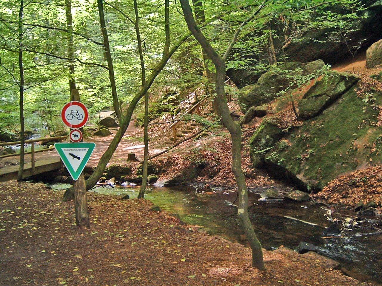 The Moosalb in the Karlstal valley | |
| Location | |
| Country | Germany |
| State | Rhineland-Palatinate |
| Region | Palatine Forest |
| Reference no. | DE: 264262 |
| Physical characteristics | |
| Source | |
| • location | Near Trippstadt |
| • coordinates | 49°20′04″N 7°49′05″E |
| • elevation | 410 m above sea level (NN) |
| Mouth | |
• location | Near Waldfischbach-Burgalben into the Schwarzbach |
• coordinates | 49°16′45″N 7°38′50″E |
• elevation | 248 m above sea level (NN) |
| Length | 25.82 km , with the Aschbach 30.3 km |
| Basin size | 188.174 km² |
| Basin features | |
| Progression | Schwarzbach→ Blies→ Saar→ Moselle→ Rhine→ North Sea |
| Tributaries | |
| • right | Aschbach, Kottelbach, Krickenbach, Queidersbach |
Course and tributaries
The Moosalb rises in the heart of the Palatine Forest west of the Palatine Watershed at a height of about 450 metres. East of its source lies the village of Johanniskreuz which belongs to Trippstadt. Initially the Moosalb flows roughly westwards before heading south. After just under 26 km it empties into the Schwarzbach, also known here as the Burgalbe, at Waldfischbach-Burgalben.
The biggest tributary of the Moosalb is the 15.8 km long Aschbach, which – like the Moosalb comes from the Palatine Forest. It joins from the right at Karlstal station and delivers more than half as much water again as the Moosalb. At Steinalben it is joined from the right by the Queidersbach, whose source lies on the Sickingen Heights.
Sights
Karlstal – upstream of the confluence of the Moosabl with the Aschbach is the valley of Karlstal, a largely natural and rocky narrow valley, about 4 kilometres long.
Amseldell – on the left-hand side of the Karlstal lies a formerly occupied rock cave and far above the Amseldell, a ruined site from the 19th century that formerly had a labyrinth, a firing range and a hut.
Klug’sche Mühle – The mill of Klug’sche Mühle on the Moosalb, near the lower end of the Karlstal, was converted to a restaurant after being restored. Before it transferred to the ownership of the Klug family in 1842, whose descendants still run it today, it was called the Wilensteiner Mühle.
Unterhammer – The site of Unterhammer was a former iron hammer mill and now a monument to early industrial history in the Palatinate.
Wilenstein Castle – On the right and above the Karlstal valley lie the ruins of Wilenstein Castle at a height of 400 metres. it was built in the mid-12th century. The present day Wilenstein Castle Youth Hostel (Jugendheim Burg Wilenstein) is home to a rural educational home (Schullandheim), school and youth groups.
Trippstadt Church – The baroque church in Trippstadt was built in 1744/45 on the foundations of its Gothic predecessor.
Trippstadt House – Trippstadt House (Trippstadter Schloss), designed in the baroque style from bunter sandstone from the region, was built from 1764 to 1767 to plans and under the direction of Zweibrücken architect, Sigmund Jacob Haeckher. The associated park (Schlosspark) was originally laid out along strict geometric lines in the Versailles style and was considerably larger than it is today.
Brunnenstollen – The Trippstadt Brunnenstollen ("spring tunnel") was completed in 1767. The structure, built by driving the tunnel simultaneously from both ends, as in classical antiquity, provided the municipality with drinking water until 1965. The Brunnenstollen is a unique structure monument within Europe.
Iron Smelting Museum – The Trippstadt Iron Smelting Museum (Eisenhüttenmuseum Trippstadt) documents the boom time of the iron smelting industry, which the village experienced around the middle of the 19th century.
 The Karlstal valley
 Wilenstein Castle
 The baroque church of Trippstadt
 Trippstadt Palace


See also
External links
На других языках
[de] Moosalbe (Schwarzbach)
Die Moosalbe (so laut amtlicher topographischer Karte) oder Moosalb (so häufig vor Ort) ist ein knapp 26 km langes Fließgewässer in der Westpfalz (Rheinland-Pfalz) und ein rechter Zufluss des Schwarzbachs. Das obere Moosalbtal wird wegen seiner Industriedenkmäler zu Eisenverhüttung und Eisenbearbeitung auch Hammertal genannt, weil dort Hammerwerke standen, die mit dem Moosalbwasser angetrieben wurden. Im weiteren Verlauf ist das obere Tal identisch mit der touristisch genutzten Karlstalschlucht.- [en] Moosalb (Schwarzbach)
[ru] Мосальб (приток Шварцбаха)
Мосальб (нем. Moosalb) — река в Германии, протекает по земле Рейнланд-Пфальц. Правый приток Шварцбаха. Длина реки — 25,8 км[1].Другой контент может иметь иную лицензию. Перед использованием материалов сайта WikiSort.org внимательно изучите правила лицензирования конкретных элементов наполнения сайта.
WikiSort.org - проект по пересортировке и дополнению контента Википедии